This blog is the work of William Speiser, who interned with the Esri Story Maps team over the summer.
It was almost the end of my internship with the Story Maps team. I had one story left to make, and I knew it was go big or go home. (Well, go big, then go home, but you know what I mean.)
I wanted a topic that reflected my interests while also showcasing the many possibilities Story Maps—and the Cascade app in particular—provide. Cascade is great. It lets you move a reader through the narrative with the soothing motion of scrolling, while immersing them a in a dynamic visual experience.

Given my academic background in geology, there was only one subject that seemed worthy of my final story: Kilauea, America’s most active volcano. What sight is more captivating than the merciless progression of lava flows? That’s right, nothing. And so I began.
Visuals in motion, no matter the device
The U.S. Geological Survey’s (USGS’s) Kilauea portal was my go-to source for historical and background data. That stuff was important, but I knew it wasn’t as interesting as Kilauea’s effortlessly ruthless lava kinematics. This story needed to be heavy on the visuals. USGS pulled through again, with a library of Kilauea videos in their multimedia portfolio.

I needed the video footage in my story to do two things. First, it had to really show off the natural pigment of lava—bright reds, yellows, oranges; all that good stuff. Preferably against a dark background, for dramatic effect. Second, since Kilauea has been erupting for many years, I wanted footage that emulated this ongoing creep through continuous, progressing motion.

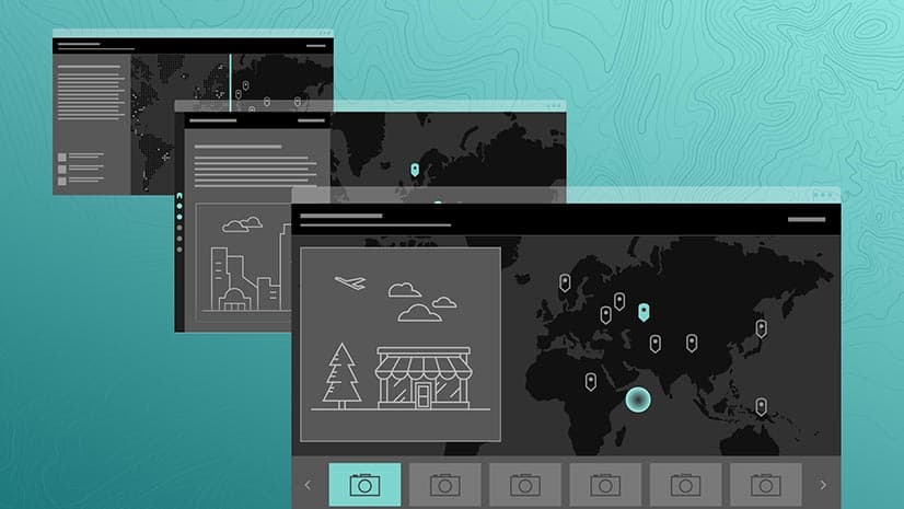
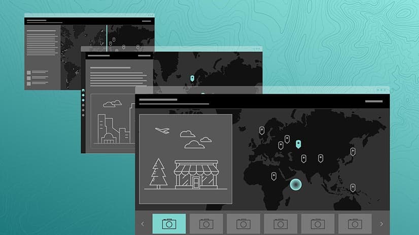
Once I had my videos, the next step was to build an app that displayed them in all their glory. Cascade made this easy. The dark theme fit well with the contrasting lava imagery, and I could use immersive sections to break up the text into concise paragraphs over full-width visuals. This gave readers a smooth experience. They could let the text sink in while they watched the lava videos loop over and over. And over. And over…
One challenge, though, was to make sure the story’s mobile experience served up as much eye-candy as the desktop view. Video clips in immersive sections currently don’t translate over to mobile. But did that thwart my plans for a hot molten masterpiece? Nope. I had a secret weapon up my sleeve: Cascade’s alternate media tool. And GIFs. I had two secret weapons up my sleeve.
GIF files are compatible with mobile devices in immersive sections. But the files have to be less than 5MB in size. So, I cut my videos to all be between five and eight seconds long, then used an online converter to make them into GIFs. When some of these still exceeded the allowed size, I either deleted some of the frames in the GIF or used a website to compress the media further. I uploaded these GIFS as alternate media to my videos and bam, my story looked just as cool on mobile.

Fantastic lava flows and where to find them
As I said before, lava has been oozing out of Kilauea for centuries. I wanted to highlight the expansion of the volcano’s lava flows over time, and so I downloaded shapefiles of historic flow extents, and brought them into an ArcGIS Online webmap. After styling the flows, I created a separate copy of the webmap for each year, and then added each webmap to a different immersive “view” in the story map.
Why all the extra effort, you ask? Because by adding multiple maps to the immersive section, I was able to use the swipe transition between immersive views—you can learn more about this nifty feature here. (Due to technical limitations I won’t even pretend to understand, these smooth transitions aren’t available in immersive sections that just toggle layers within a single webmap.) The end result is an experience where the old layers appear to peel back to reveal new flows as the reader scrolls through the section. It’s a cool effect, and I think it helps illustrate the kinetic nature of the lava.

Looking at the final product—on any device—I’m pretty confident I accomplished what I set out to do: The subject is interesting, it leverages all of the features that make Cascade cool, and it’s a pretty explosive story. (See what I did there?) I think I successfully went big, and I hope you agree!


Commenting is not enabled for this article.