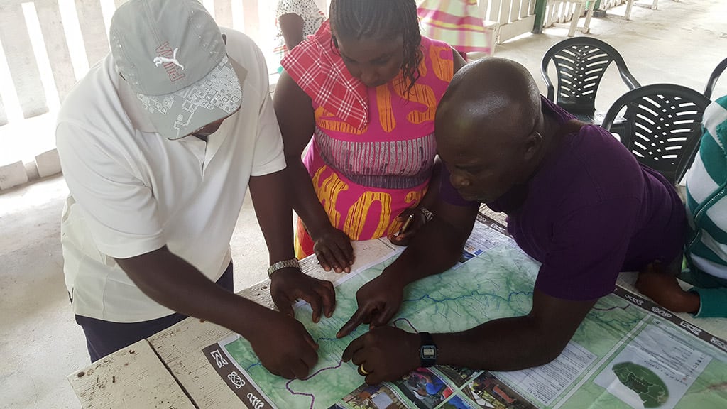
For us Matawai, the process of creating the map gave birth to the oral history project ... to make decisions about which stories should be shared and which stories should not be shared. We were able to put the story of the Matawai on the world map, so that people everywhere can know that we exist. - Rolien Sallons
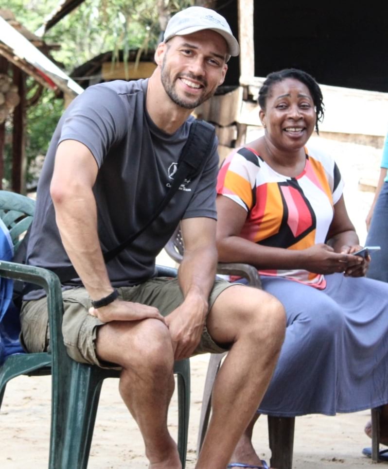
Rudo Kemper is a geographer with a background in archives and international administration, and a lifelong technology tinkerer. He is passionate about co-creating technology and maps to support Indigenous and other marginalized communities in defending their right to self-determination and representation, and safeguarding traditional knowledge of their lands.
In a recent discussion with Esri’s StoryMaps team, Rudo shared his experiences with map-based storytelling and the recent Lands of Freedom project—an ArcGIS StoryMaps collection about the oral history and cultural heritage of the Matawai Maroons in Suriname. Read a snapshot of the discussion below.
Can you tell us about the mission and work of the Amazon Conservation Team?
The Amazon Conservation Team (ACT) partners with Indigenous and other local communities in South America to protect tropical forests and strengthen traditional culture. ACT was founded in the mid-1990s with the observation that the most pristine and continuous forests were not in parks, but on lands inhabited and controlled by Indigenous people. ACT sees a future where healthy tropical forests and thriving local communities together contribute to the well-being of the planet.
What’s your role within the organization?
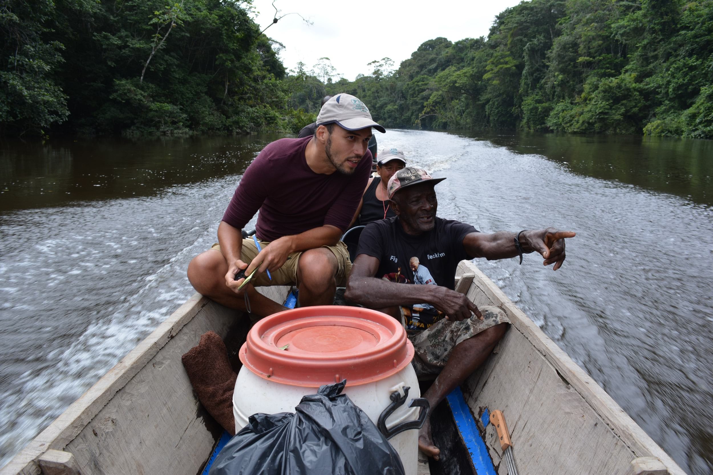
As an anthropologist by training and a geographer by trade, my principal role at ACT was to help Indigenous and other forest communities make maps of their lands. ACT embraces the practice of participatory mapping, where we help local communities undertake their own data collection and mapmaking. Working with rainforest communities involves a lot of time in the field giving trainings and workshops, accompanying community members on expeditions, and researching technology that can work well in the jungle.
I recently transitioned to another organization more focused on building technologies for Indigenous communities, but I continue to support ACT with mapping and cultural heritage work in Suriname and the Guiana Shield.
How do Esri’s storytelling platforms fit within that work?
From early on, ACT cartographers recognized the importance of story in mapmaking. In the early 2000s, ACT helped the Tarëno community of southern Suriname and northern Brazil make large-scale ancestral lands maps. These incredible maps, pioneering at the time of production, show millions of hectares of Indigenous place names, sacred sites, the locations of natural resources and hunting grounds, and more.
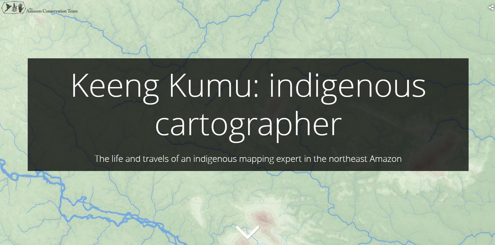
To produce these maps, young Tarëno cartographers like Keeng Kumu—whose life and work were later chronicled in this story—interviewed community elders and came to learn centuries-old oral histories about these places.
When the ACT mapping team learned about Esri’s storytelling platform, we immediately understood the remarkable potential for bringing maps and stories even closer together. In 2015, we made our first Esri story—a Map Journal about the gold mining sector in the rainforests of Suriname and the impact of the industry on the lands and livelihoods of the communities. That story was followed shortly thereafter by a beautifully designed cartographic journey into the travels of ethnobotanist Richard Evans Schultes and the Indigenous cultures that he encountered in the rainforests of Colombia and Brazil.
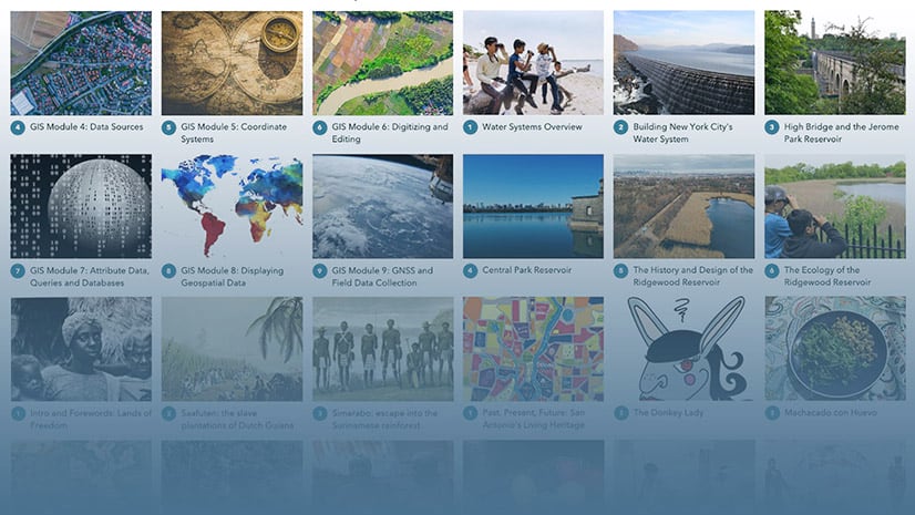
In the past five years, ACT has created seven major stories about Indigenous cultures, the threats and environmental pressures posed by resource extractivism, and the organization’s work to protect and establish Indigenous reserves. Our stories have evolved over time to use the latest Esri product enhancements.
Can you give us an overview of the Lands of Freedom project?
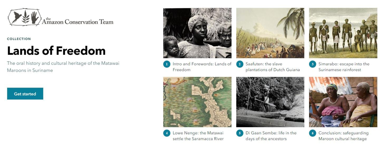
Our latest story, Lands of Freedom, is about the place-based oral histories of the Matawai in Suriname. The Matawai are a Maroon community, which are descendants of formerly enslaved Africans who escaped into the rainforests over three centuries ago. They fought with the colonial powers for their right to exist in what is now their ancestral lands. The Matawai proudly recall enormously rich oral histories about their ancestors’ struggles to find their way in the rainforest and to make it their own, and then identify hundreds of sites related to that history.
During a joint mapping project, our Matawai counterparts frequently lamented the loss of their storytelling traditions in the contemporary era. So, ACT offered to teach younger Matawai important interviewing and mapping skills. In 2017, we partnered with a local Matawai community organization named Stichting voor Dorpsontwikkeling Matawai on a multi-year oral histories mapping project that culminating in mapping over 700 place names and recording detailed stories for roughly a quarter of those places so far.
The project focuses on the Matawai oral histories that the community has chosen to share. It uses interactive and historical maps, videos, archival materials, and community-created content to bring those stories to life in an extraordinarily vivid way. From our (ACT) side as allies, we also created several chapters focused on the history of Suriname as a plantation colony, setting the stage for a broader public to understand how the story of Maroon communities like the Matawai unfolded.
Why ArcGIS StoryMaps?
When the project began, the Matawai had a few different outcomes in mind. They needed to create a comprehensive archive of stories, maps, photographs, and other materials for internal purposes and as a means to safeguard their cultural heritage. But the Matawai, particularly the youth, also wanted to share their story more widely in an interactive and fun format, with the ability to easily share on social media. For this, we couldn’t think of a better-suited format than Esri’s storytelling platform!
How did the Matawai help you “tell their story?”
Well, on one hand, the ACT team really committed ourselves to reversing that order as much as possible, thinking of ourselves as helping the Matawai tell their story. What does that mean practically? We emphasized their stories over archival documentation, and the community decided which stories and photos would be shared. Rather than acting as the lead, we were partners with a local Matawai organization to gather individual stories and share them with traditional leadership and elders.
That said, I also recognize that we, as the allied organization, created the story with the range and extent of our involvement depending on the chapter. For the chapter relating the experience of the Matawai at the Smithsonian National Anthropology Archives, we simply designed the layout. The highlight chapter about how the Matawai fled from the plantations and settled the Saramacca River is largely a compilation of content provided by the Matawai and several secondary sources. I wrote the content for the second and third chapter about the history of Suriname as a plantation economy. So in practice, the story authorship was a mix, and we tried to make that transparent by identifying the principal storyteller as the author of each storytelling chapter. In addition, what was important for me as the principal designer was to crosscheck and receive feedback from my Matawai collaborators along the way to ensure the content aligned well with their version of the story.
What were the greatest challenges?
We started to curate and design the story right as the COVID-19 pandemic emerged. So we had to postpone one of the community’s most beloved ideas for one of the chapters—to feature the voices of schoolchildren retelling oral histories that they learned through the project.
We also wanted to sit down and co-create the story much more closely with our community partners, but that similarly could not happen because of travel restrictions. Instead, we reviewed content electronically through screenshots over WhatsApp, and had discussions through voice messages.
The process added time to the project, but we persevered and still managed to publish the story in time for Suriname’s National Maroon Day on October 10th.
What was most rewarding or memorable?
What comes to mind right away is the reaction of the youth. There are barely any materials about Matawai history and culture in existence, and in school, the children rarely learn anything about their deeds of their ancestors. Sometimes, when Matawai children move to the city for secondary school, they face discrimination from their peers. When we started this project, we hoped that the videos and maps would give the community a source of pride, and it was really rewarding to see young Matawai share the story on social media. Additionally, the schoolteachers in the Matawai villages have really embraced this as a wonderful resource to teach the students about geography, history, language, computer skills, and culture all at once.
In these times of COVID-19, I was of course sad to be unable to travel to Suriname and be present with the Matawai to celebrate the launch of the story. However, ACT’s Suriname team helped organize a live Zoom presentation of the story led by two community members. I really loved seeing how they used the story to share Maroon history.
Finally, we were pleased to see important cultural institutions like UNESCO and the National Archives of Suriname recognize and contribute to this project. This validated the work and created visibility for the unique story of the Maroons, with the potential to bring resources to the Matawai for more cultural heritage work.
What are the next steps for this story? How has this project empowered the Matawai to write their own stories and build their own infrastructure?
For ACT, it was really important that we played a supporting role in this project and let the community-based organization take the lead initially and particularly as the oral history documentation grows. The project has sparked a community-wide discussion about the importance of cultural heritage. The Matawai have dreams of a community center and museum for cultural artifacts, a digital infrastructure for showing the oral histories and the story, and a space for performances and dancing. ACT’s Suriname team is working to support the Matawai and the other Maroon communities by having their intangible cultural heritage recognized nationally as a precious and unique component of the Surinamese heritage and history.
As for ArcGIS StoryMaps, we really love how user-friendly the new builder is, with little to no GIS knowledge required. We’re considering the ways in which we can help Indigenous and other forest people make their own stories and remove ourselves from the picture. I think that in the future, more forest communities like the Matawai will use ArcGIS StoryMaps to tell their own stories, since the technology is now making it possible.
What’s your advice for other storytellers, particularly when telling the story of another individual or group?
This is a great question. Ideally an individual or group would tell their own stories, without intermediation from an outside party. This is especially true in the case of Indigenous and forest peoples who have had numerous encounters with writers, filmmakers, researchers, and nonprofit staff who have used or shared a community’s story inappropriately.
That said, it may not be possible for individuals or groups to share their story fully on their own, and other storytellers can play a responsible role in helping them share that story. With that in mind, I would consider the following:
- Don’t start the project without first engaging in dialogue with the relevant persons. They might not want to have their story shared, or might not want you to be the one to share it.
- Try to involve the other person or community whose story you are telling as much as possible. Share drafts and acquire feedback as much as you possibly can.
- Listen and learn about how they tell the story. You might have a different angle on what makes it an interesting story than they do, and it’s important to achieve a respectful balance.
- Consider the person or group whose story you are telling as part of your audience. If you are telling the story of a community, are you doing so in a way they themselves will appreciate, learn from, have pride in, and want to share?
- Don’t share or publish anything without first obtaining the full consent and buy-in from the other person or community.
- Ensure that the person or community receives due credit, visibility, and compensation of any kind (if the product has commercial value)—especially when doing this for an organization. In the nonprofit space, for example, we often fall into the trap of crediting the organization as being the primary creator, and fail to highlight the community partners whose story or data is what gives the project value.

Article Discussion: