Note: This blog covers the classic Esri Story Maps. Story authors are encouraged to use the new ArcGIS StoryMaps to create stories; however, Esri will continue to maintain the classic templates for your use. For more information, see the Product road map.
The June 2018 update to Story Map Cascade has brought a new storytelling feature that will improve your stories.
Previously there was a maximum height imposed on narrative panels. So if you added a lot of content to a panel, the max height prevented readers (and authors) from seeing all the content without having to scroll inside the panel. We were never thrilled with this experience but are happy to report that now—no matter how much content you add to a panel—it will stretch to ensure all the content is visible (without having to scroll inside the panel).
Now you can combine several images and/or videos with text in a single panel if you have a lot to say in one immersive view. Readers can simply advance through the story as they normally would and they’ll see all the panel content as they scroll, kind of like this…

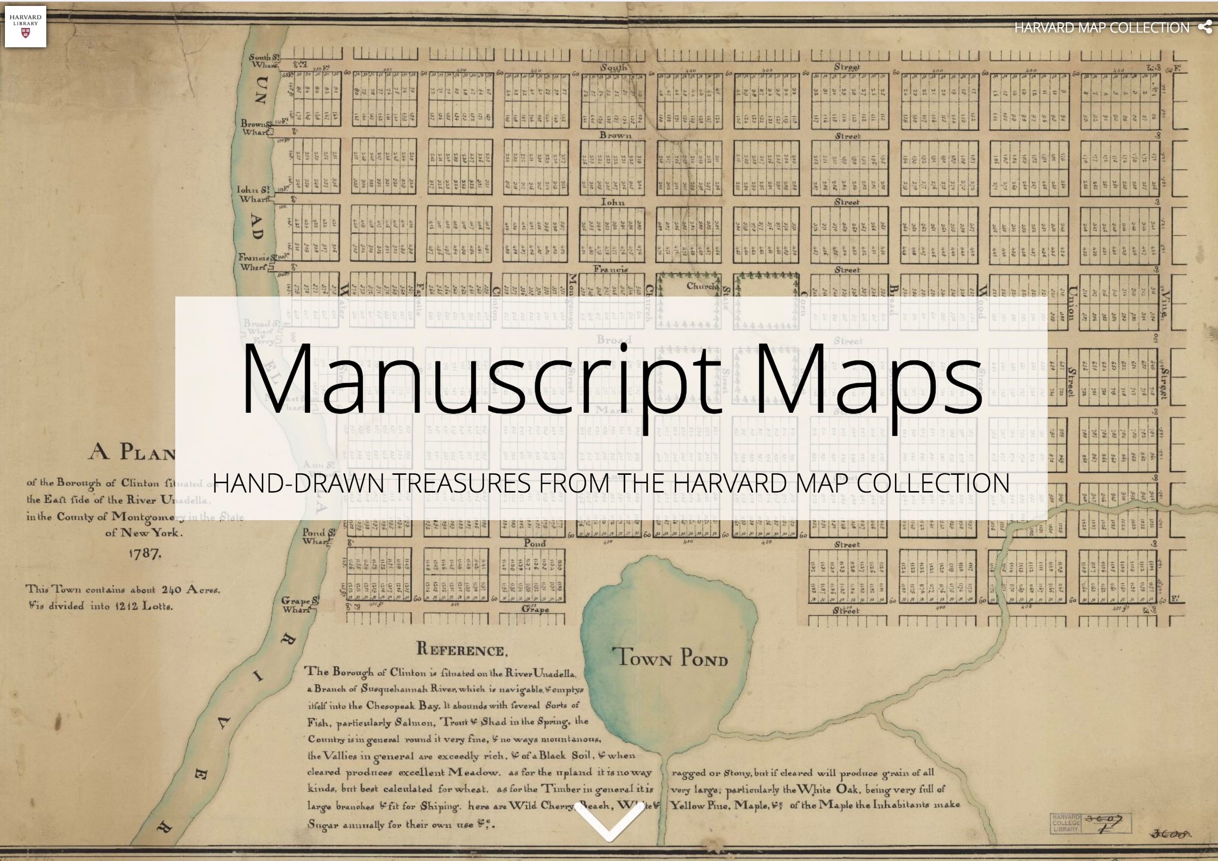
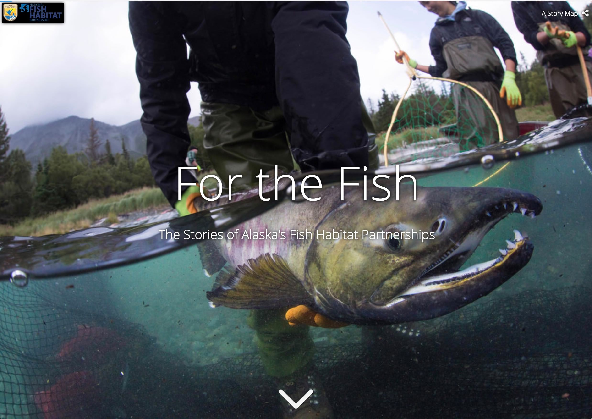
Here are some great stories with tall panels that now look even better with this new treatment.


Be sure to check out the related articles below for more tips on creating great stories using the Story Map Cascade Builder.
Banner photo by Lambert Yuri on Unsplash


Commenting is not enabled for this article.