Skip to Content

Aligning with Federal Stimulus Programs

Progressing the health, economy, infrastructure, and equity of our communities with GIS

A photo of an U.S. flag flying in front of a government building, with a concentration map and a photo of storefronts on a street

A geographic approach is key to your community’s recovery

As the nation begins to bounce back from the pandemic, government organizations are using a geographic approach to speed up their economic recovery. Through federal funding programs, such as the American Rescue Plan (ARP) and Infrastructure Investment and Jobs Act (IIJA), government organizations now have the funding and opportunity to create healthier communities, support economic growth, and remove barriers to equity by using the latest in geographic information system (GIS) technology. Esri, the global leader in GIS, provides the most advanced mapping technology governments can use to align their economic recovery efforts with stimulus funding objectives.

A photo of a construction crew working on the side of the road overlaid with a map that visualizes street closures

GIS supports federal stimulus program efforts

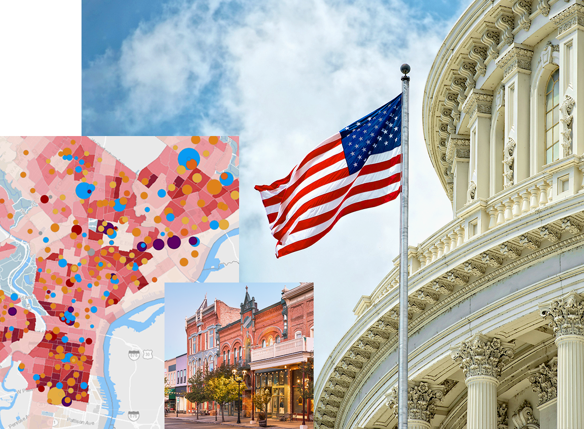
Find solutions that build resilience

Esri provides hundreds of ready-to-use, focused maps and apps that meet the goals of the federal stimulus programs. Reduce the time it takes to deploy geoenabled solutions in your organization and start improving your community's health, economy, infrastructure, emergency response, and access to housing and broadband.

A closeup photo of a pair of hands working at a map dashboard on a laptop, overlaid with a colorful concentration map

Support diversity and racial equity with data

The public health crisis exposed just how deep the need is to address diversity and racial inequalities. These gaps can be bridged by identifying at-risk populations at the very point where they live, learn, and work. GIS can provide insights through demographic data, analysis, and maps to ensure that your funded projects do not leave communities behind but create opportunities for all to succeed. 

A photo of a doctor using a stethoscope on a smiling child with his mother, overlaid with a concentration map

Know where to make the biggest impact

The national stimulus programs provide opportunities to stimulate economies and build a sustainable future. A geographic approach to prioritizing projects and spending highlights which efforts will have the greatest positive impacts on communities. Esri has complimentary datasets you can plug into your existing work and analysis to make well-informed decisions. 

A photo of a utility worker using an aerial work platform to reach a streetlight, overlaid with a street heat map

Fight the climate crisis with federal funding

Government leaders who need to understand the impacts of climate change rely on climate risk analytics through GIS. Applying new federal funding resources with GIS analysis can help community leaders foresee the long-term effects of global warming and ensure that their federally-funded projects are environmentally sustainable.

An aerial view of a city with solar panels in the foreground and a river running between it, overlaid by a square map in colors of yellow, green, and red

Keep track of your funded efforts

GIS technology can also effectively monitor all stimulus-funded efforts to ensure that funds are being distributed equitably. Maps and dashboards track and analyze the distribution of funds and investments, enabling governments to present data in a user-friendly format and ensure transparency with their constituents.

A business professional working on a laptop that displays a mapping dashboard interface, overlaid by a square map marked with many green marks

Resources

Dark blue background

Racial Equity GIS Hub

Visit the Racial Equity GIS Hub to find relevant data layers, user examples, training, solutions, and other resources that support your work for racial equity.

Explore the hub

ArcGIS Solutions

Discover a collection of focused maps and apps that can address challenges in your organization and help you align recovery efforts with existing federal stimulus initiatives.

Explore ArcGIS Solutions

Content and data

Esri has the largest collection of maps, apps, and data layers that you can add to your existing work to gain greater insight into your community.

Explore maps for public policy

Insight on how to use federal funding

  • A view of the City of Reno, Nevada illuminated by building and street lights
    Case study

    The Biggest Little City in the World Runs on GIS

    Utilizing Coronavirus Aid, Relief, and Economic Security (CARES) Act funds, the City of Reno has expanded their use of GIS in all departments by adopting an enterprise approach.

  • A close-up of two business professionals working at a table while looking at a laptop displaying a dark city grid map
    Brochure

    Three Steps to Prioritize Infrastructure Investment with GIS

    With funding available, organizations must make smarter infrastructure decisions that address equity, withstand the test of time, and improve quality of life for residents. Explore the three steps to start making more data-driven decisions.

  • Ebook

    Aligning your GIS efforts with federal funding programs

    Explore five ways you can use federal funding to advance your GIS investments and accelerate your recovery from the impacts of the pandemic.

  • An aerial view of Oconomowoc, Wisconsin, and nearby Fowler Lake
    ARCNEWS

    City Uses ArcGIS Solutions to Replace Lead Water Pipes

    Streamlined data collection allowed the City of Oconomowoc, Wisconsin, to identify lead pipes and start replacing them more efficiently.

  • Industry blog

    Health GIS initiatives that align with federal funding programs

    Identify programs where GIS could be useful so that you can advance your organizational mission and take advantage of current federal investments in the health sector.

  • A white and blue map displays the locations of disadvantaged communities in the United States
    ARCGIS BLOG

    New Justice40 tracts for grant applications

    Esri recently released the latest Justice40 tracts from the Council on Environmental Quality (CEQ) into ArcGIS Living Atlas of the World. Use this layer to help plan for federal funding grant applications, perform spatial analysis, and create informative web applications.

  • A photo of a city center with red buildings and white roofs against a tree-covered hillside
    Case Study

    How Dubuque is using GIS to make the case for broadband funding

    Leaders at the City of Dubuque, Iowa, are using GIS to support efforts to partner with providers, secure NTIA funding, and fast-track local broadband investment.

  • A heat map of a street grid with blue points on a black background
    Case Study

    Using GIS to help people experiencing homelessness

    The City of Modesto received $3.8 million in Emergency Solutions Grants Program funds from the CARES Act to help address homelessness. With this additional funding, the city engaged with and built relationships with unsheltered individuals to provide immediate support.

Previous
Next

Contact sales