Extend expertise
Tasks that took days—feature extraction, pattern detection, data prep—now take minutes. Professionals focus on higher-order analysis, scenario modeling, and decision support.
The missing reasoning layer for enterprise AI
Geospatial AI applies spatial intelligence to routing, resource allocation, site selection, infrastructure optimization, operations, and risk mitigation at a granularity otherwise impossible.
ArcGIS is the world’s leading geospatial software, with mature, proven, embedded AI. Made by Esri, ArcGIS enables AI-powered geospatial analysis across all data.
COMMERCIAL
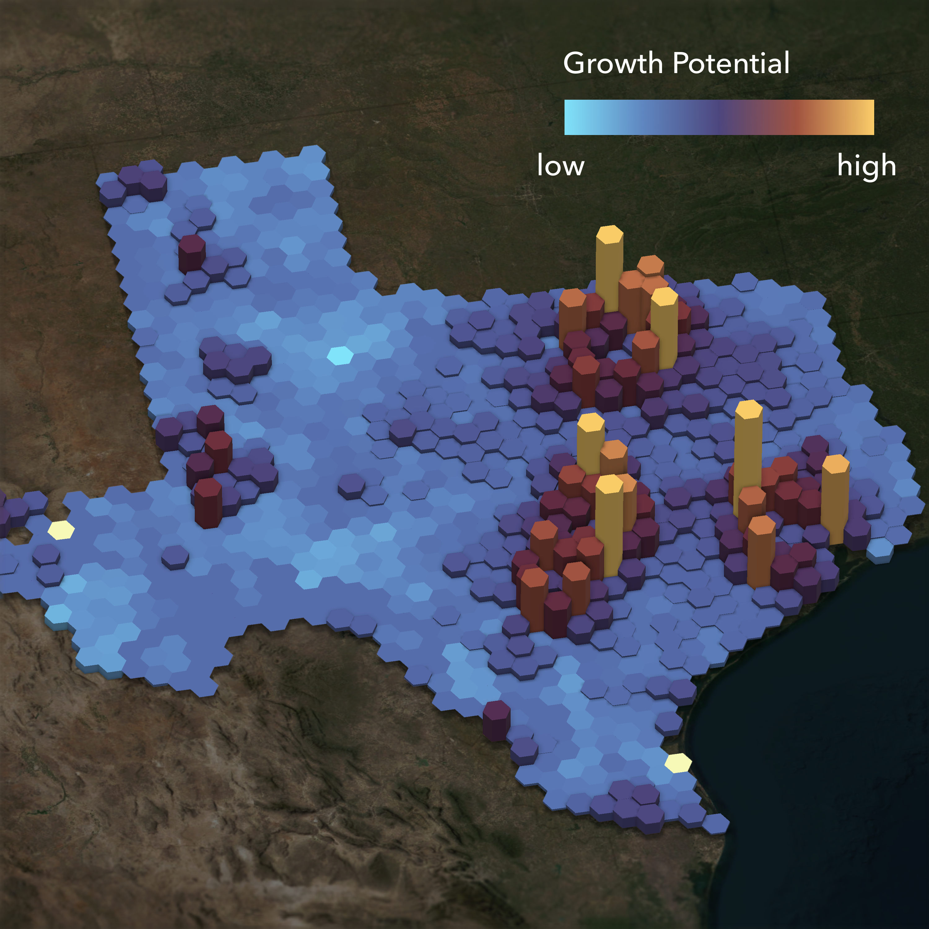
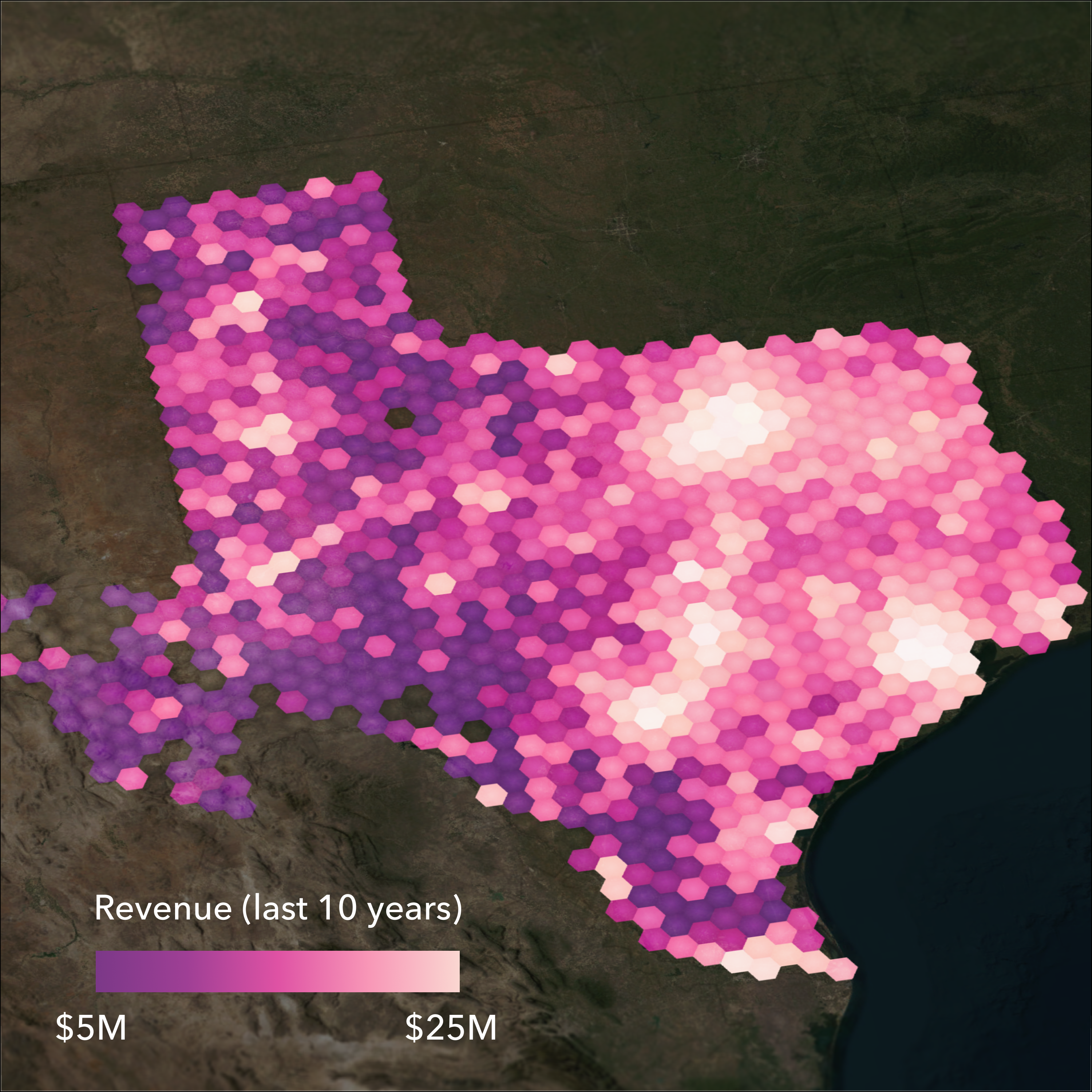
Every critical decision—whether to build, hire, expand, or shift operations—depends on understanding location. Geospatial AI pairs with existing business systems to unlock faster, smarter decisions for daily operations and long-term market planning.
When business leaders use location as their lens, they see things competitors miss. They optimize for efficiency and quality and reduce risk while finding opportunity.
GOVERNMENT
People and places thrive when governments invest in proper planning. Geospatial AI provides the framework for evaluating community needs, streamlining project reviews, and engaging stakeholders.
When city leaders and urban planners work with geospatial AI, they get a real-time view of what’s happening now and the modeling tools they need to create a better future.


INFRASTRUCTURE
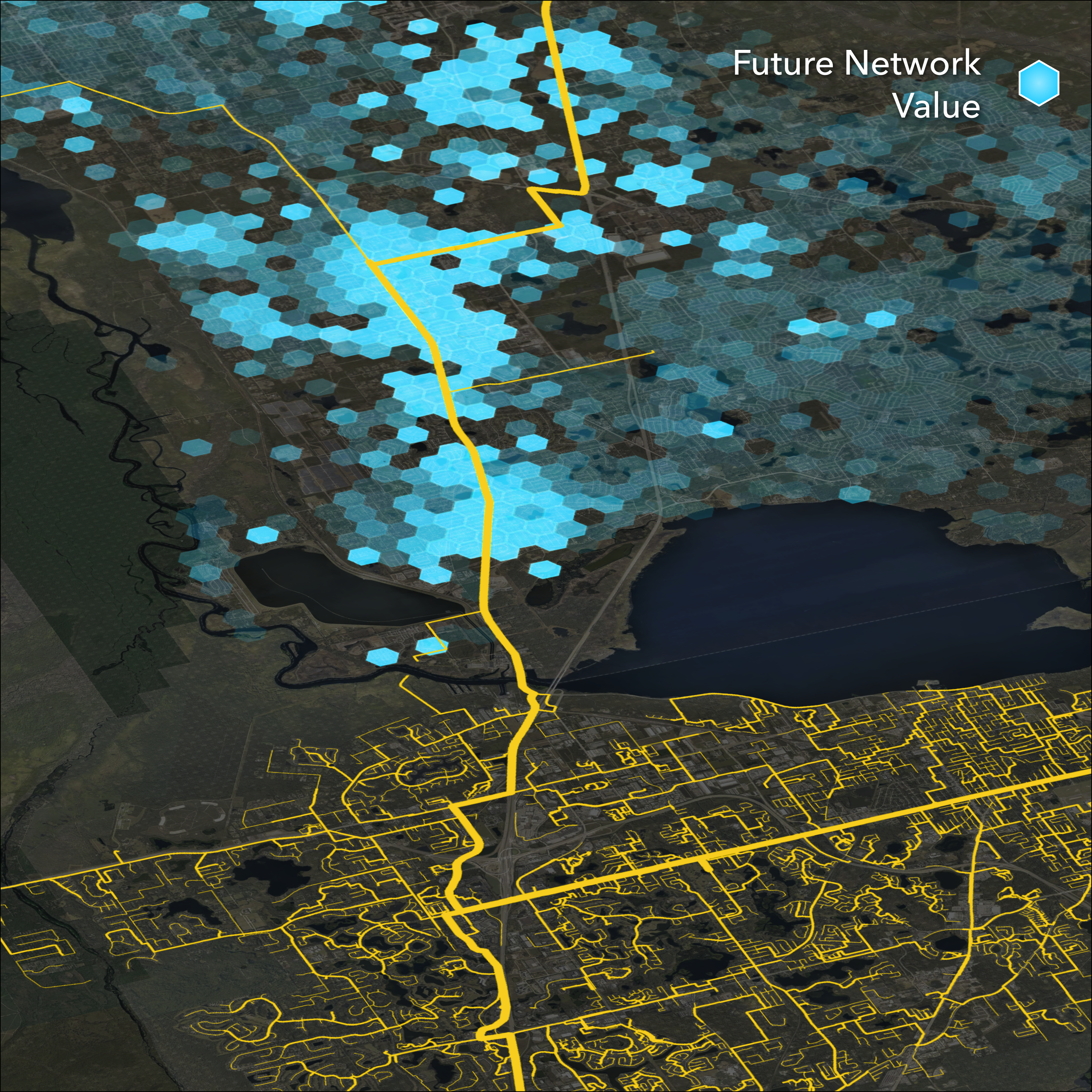
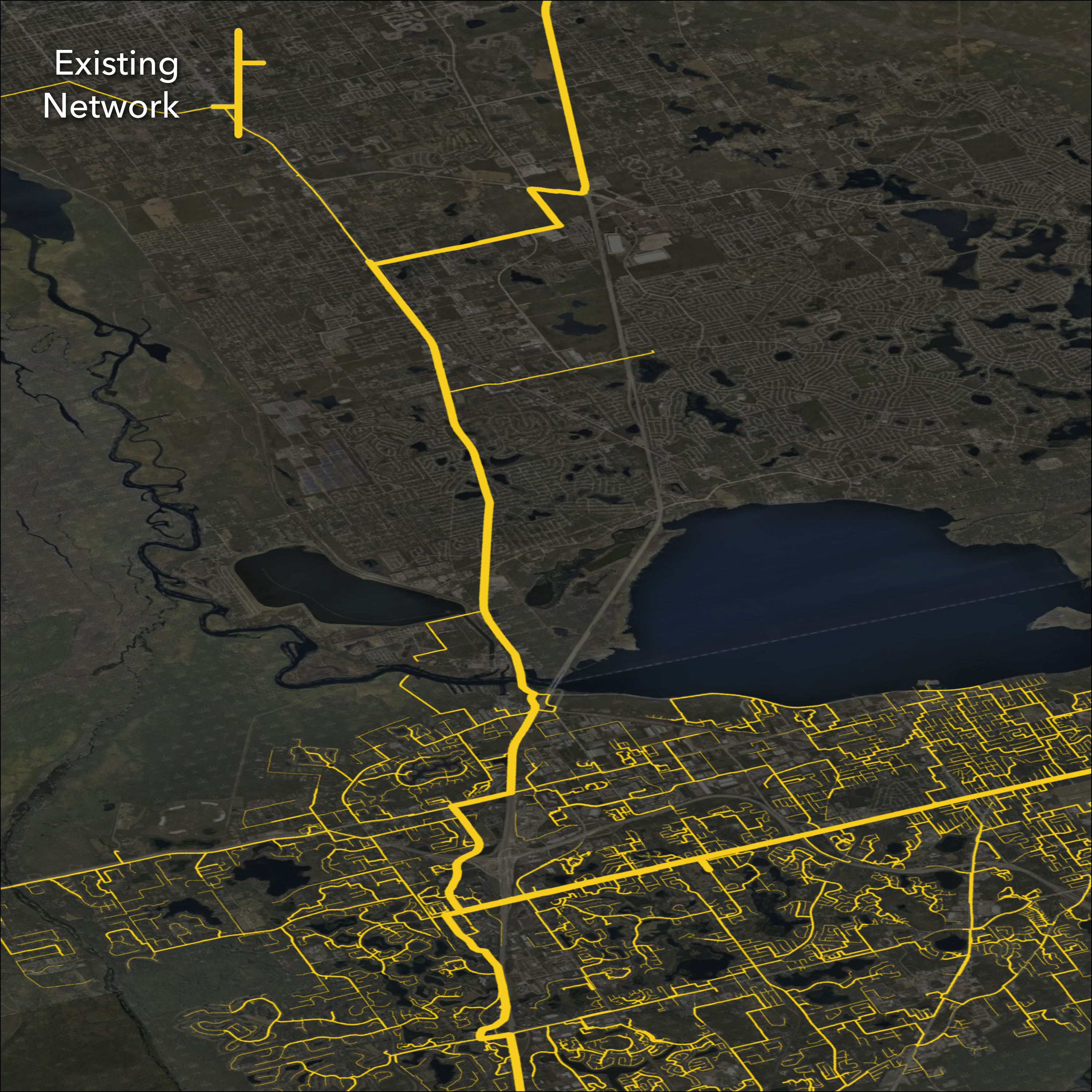
An infrastructure investment demands constant attention and agility. Geospatial AI supports every stage—from assessing site suitability and environmental constraints to managing assets and operations.
When planners and operations managers can continuously analyze real-world conditions and forecast potential outcomes, they reduce uncertainty and minimize delays.

Discover how organizations are combining geospatial technology and AI to make faster decisions, predict what’s coming, and act with more confidence.
Download the full ebook to read all the stories.
ArcGIS is the world’s leading geospatial software, with mature, proven, embedded AI. Made by Esri, ArcGIS enables AI-powered geospatial analysis across all data.
Machine learning, deep learning, and spatial statistics algorithms work seamlessly with geospatial data in ArcGIS—delivering accurate results and improved data quality.
Machine learning tools enable predictive spatial analysis by detecting clusters, calculating change, and finding patterns. Esri‑trained deep learning models provide a starting point for common geospatial workflows such as feature extraction, classification, and object detection.
AI assistants are embedded directly into key geospatial workflows, making ArcGIS easier to use for everyone on your team. Conversational interfaces with natural language interactions help boost productivity, accelerate adoption, and lower the barrier to entry so more people can turn location data into actionable insight.
ArcGIS includes AI agents that can carry out common geospatial workflows. Organizations can also build their own agentic mapping applications.
Interoperability is prioritized across ArcGIS so organizations can bring trusted geospatial context directly into the agentic AI systems and workflows they are already building. Integrate with enterprise AI through open standards such as MCP.
Esri started integrating AI and machine learning into ArcGIS in 2009. Since then, every advancement has reflected our commitment to bridging the AI trust gap and fostering positive change for society. Read more about how we prioritize trust in AI development and deployment.
Most complex business and operational problems have a location dimension. Geospatial AI is what makes it possible to see and solve them at a speed and scale that manual analysis cannot match. When organizations use geospatial AI, they can apply spatial insights to all kinds of problem solving across strategy and operations. For example:
Geospatial AI capabilities are included with ArcGIS. Geospatial AI is not a standalone product. Advanced AI-powered workflows are enabled through specific products or extensions for needs such as advanced imagery analysis or deep learning at scale.
Trust is foundational to how Esri approaches AI. ArcGIS applies established security, governance, and privacy controls across all AI capabilities. Your organization retains control of its data, and AI features are designed to work within your existing ArcGIS environment.
AI assistants are opt-in and managed by administrators, ensuring organizations decide how and when they are used.
AI assistants in ArcGIS provide natural language experiences that help people work more efficiently with geographic information system (GIS) technology. They can assist with common tasks, guide GIS workflows, help generate maps or content, and lower the barrier to getting started—making GIS more accessible while still supporting expert workflows. AI in GIS is designed to enhance productivity, not replace human expertise.
Your organization controls access to AI assistants in ArcGIS. ArcGIS administrators control whether AI assistants are enabled, who can access them, and how they are used—consistent with existing ArcGIS governance and security practices.
Yes. ArcGIS supports training, fine-tuning, and deploying custom machine learning and deep learning models. You can work with your own data, adapt pretrained models, and operationalize results using tools and APIs in ArcGIS—moving from experimentation to production within the same platform.
Geospatial AI is a broad term that encompasses a collection of artificial intelligence technologies specifically designed to enhance geospatial workflows. In ArcGIS, these currently include AI tools and models, conversational interfaces (AI assistants), and agentic systems (agentic AI), as well as support for industry standards such as A2A and MCP.
GeoAI is an increasingly common abbreviation of geospatial AI. The term was historically used to describe scientific AI in GIS (machine learning, deep learning, spatial statistics). These original GeoAI tools began to be integrated in ArcGIS in 2009, before AI became ubiquitous. Today geospatial AI comprises a wider variety of AI tools and technologies in GIS software, and GeoAI is becoming a common abbreviation for the broader definition of geospatial AI.
Get started with geospatial AI by exploring ArcGIS, Esri’s comprehensive geospatial platform. Start your journey with one of Esri’s foundational products, such as ArcGIS Online, which offers a free trial. Esri provides a wide range of resources and support for simple and advanced geospatial AI workflows, including:
Case studies from Microsoft, AT&T, and more
The Rise of Geospatial AI ebook explores examples of organizations using
geospatial AI to make better, faster decisions with real-world context.