If you work in geotechnical engineering, environmental consulting, or construction materials engineering and testing, you know how deeply our work is tied to location. Boreholes, lab samples, field observations, monitoring points, and test results only gain meaning when placed in their geographic context.
Yet for years, much of this critical information has lived in silos spread across reports, spreadsheets, and disconnected systems. Today, that is beginning to change.
Across the industry, there is growing momentum to bring these pieces together into a more unified, accessible view. This is where geospatial thinking, and geographic information system (GIS) technology in particular, becomes incredibly valuable.
From what I’ve seen working with environmental and engineering firms, GIS has evolved well beyond mapmaking . It has become a practical, everyday tool for connecting field data with engineering expertise and, just as importantly, for improving how teams communicate and collaborate.
A Common View for Complex Projects
Geotechnical and environmental projects are rarely linear. Conditions shift. New data emerges. Decisions often depend on understanding both surface and subsurface conditions simultaneously. Add construction materials testing into the mix, and the complexity increases further, ensuring what’s built aligns with design intent and performance requirements.
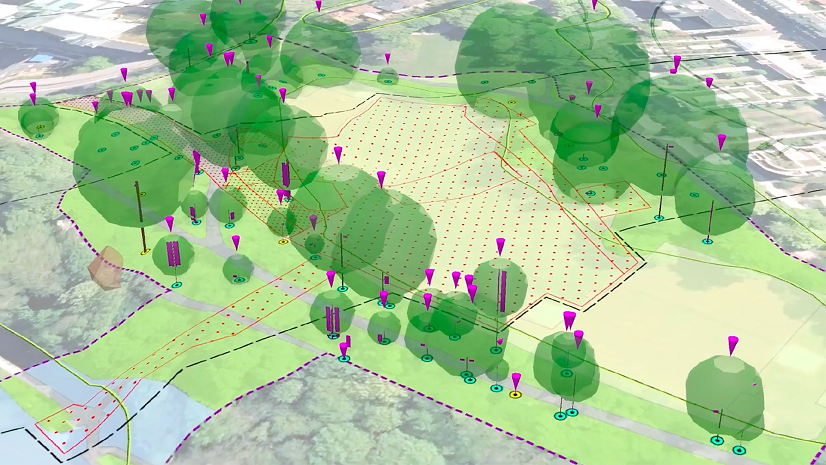
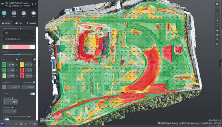
By leveraging platforms like ArcGIS Pro and ArcGIS Online, teams can bring together borehole data, sampling results, laboratory information, and field observations into a single, cohesive view.
Instead of searching through files, teams can see the full picture, which enables better conversations around risk, uncertainty, and next steps.
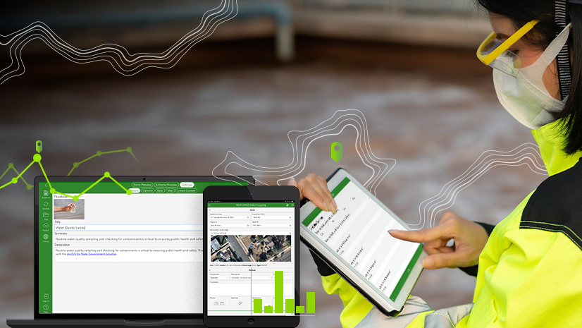
For field teams, tools like ArcGIS Field Maps and ArcGIS Survey123 make it easier to capture observations, photos, and test results directly on-site. That data flows back to the office in near real time, reducing delays and improving consistency.
For project managers and clients, dashboards and web maps provide clear, accessible insights without requiring deep technical expertise.
Tools like ArcGIS Dashboards and ArcGIS Experience Builder help turn complex datasets into intuitive, actionable views, making it easier to communicate with both technical teams and stakeholders.
Supporting Accountability and Resilience
Across the architecture, engineering, and construction (AEC) industry, there is increasing emphasis on transparency, resilience, and long-term performance. Owners and agencies expect better visibility into project data— not just during delivery but throughout the asset life cycle .
GIS supports this shift by creating a dynamic system of record that links data to both location and time.
Instead of static deliverables, project information becomes living, adaptable, and continuously valuable. This enables better planning, stronger accountability, and more informed decision-making as conditions change.
Looking Back at the GBA Conference
These are exactly the kinds of conversations I had with peers across the industry at the Geoprofessional Business Association (GBA) Conference in Phoenix this April. It was a great opportunity to connect with professionals across geotechnical, environmental, and construction materials testing disciplines and hear how they’re using data and location to solve real-world challenges and improve collaboration.