Introduction
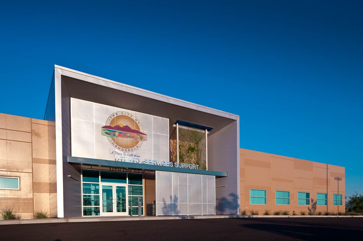
The City of Henderson Department of Utility Services, a public water and wastewater utility, serves Henderson, which—with over 330,000 residents—is the second-largest city in Nevada. Utility Services has approximately 1,000 miles of water lines, 1,000 miles of sewer lines, and 107,400 service connections. In total, the utility has over 348,000 synced assets between its geographic information system (GIS) and asset management system—Esri ArcGIS and IBM Maximo. Integration of Maximo and ArcGIS is essential to the utility’s daily operations, providing visibility into its assets and work orders.
Challenge
Approximately a decade ago, Utility Services adopted IBM Maximo as its asset management system. Immediately upon adoption, Utility Services began creating and maintaining custom-developed scripts to unify data and provide reporting of the utility’s synchronizations between the ArcGIS and Maximo systems. These custom-scripted synchronizations were utilized for many years, but they ultimately brought more issues than benefits to the city’s operations. Scheduling and planning for a custom-scripted synchronization to run was challenging due to the duration of synchronization and the need for continuous database inactivity during execution. Throughout the synchronization, development resources were responsible for monitoring and managing breaks in the integration caused by enterprise system updates. Moreover, the unreliability in data synchronization necessitated ongoing efforts to address duplicate and orphaned data, leading to the additional burden of manually reloading records due to errors. Consequently, the consistent and ongoing maintenance and management required of custom-scripted synchronizations proved to be increasingly costly.
In addition to all these challenges, the City of Henderson faced difficulties upgrading their Esri ArcGIS deployment, as it would have necessitated significant development rework for the utility team. This challenge, commonly referred to as version lock, is a prevalent issue within the utility industry, where the current custom-development workarounds hinder the seamless upgrading of software. With over 348,000 synced assets between GIS and Maximo, Utility Services needed a better solution for its ArcGIS and Maximo integration to ensure access to data and improve the utility’s ability to upgrade its GIS.
Partner
Geonexus, an Esri partner, is a software company focused on helping asset-intensive organizations operate more efficiently and solve complex business problems. The company’s mission is to ensure data integrity by providing a continually supported, easy-to-use platform for system integration. The Geonexus Integration Platform (GIP) allows organizations to simplify connections between ArcGIS, IBM Maximo, SAP, Hexagon’s HxGN EAM, and more. Having earned the ArcGIS System Ready Specialty and the Network Management Specialty, Geonexus opens the door to new possibilities for data integration and asset management.
Solution
Based on Utility Services’ needs and Geonexus’ capabilities, the team chose to implement the Geonexus Integration Platform. This fully supported, no-code data integration platform connects ArcGIS and Maximo and provides robust reporting on the synchronizations.
One of the main reasons Utility Services chose GIP was that the platform includes connectivity for ArcGIS Desktop, ArcGIS Online, Portal for ArcGIS, and ArcGIS Enterprise. This gives Utility Services the ability to seamlessly integrate its Esri ArcGIS and IBM Maximo systems. Also, since the platform is release ready, staff can rest assured that Esri technology upgrades will already be supported in GIP.
Results
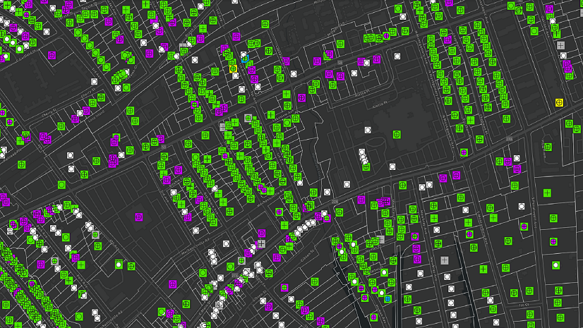
The Geonexus Integration Platform allowed Utility Services to connect its Esri ArcGIS and IBM Maximo asset management systems with no code required. Utility Services can now synchronize data bidirectionally between ArcGIS and Maximo, see reports of data exchanges and errors, and load assets significantly faster than its custom-code solution had allowed. Because of the power of GIP, Utility Services was quickly able to populate thousands of null values from GIS to Maximo and is now able to keep the two systems aligned, improving data availability for both field and maintenance staff.
“Bidirectional synchronization allows us to push data updates in either direction. GIS, clearly having the majority of legacy information, is now able to push the data into Maximo to fill huge gaps in our infrastructure attribution. When the team is finished with the current data update initiatives, we’ll have processed approximately 1.3 million attribute updates into Maximo using [GIP].“
The city is also avoiding unnecessary work, thanks to GIP. Utility Services estimates that nearly 8,000 internal service requests could have been eliminated over a six-year period if the utility had adopted GIP sooner. It also would have saved GIS assistants/technicians and utility asset technicians time—from 15 minutes to multiple hours—working on each service request. Now, with the time saved, the utility’s GIS team can dedicate valuable resources to other critical GIS work.
Finally, with the concern of version lock gone, Utility Services is able to upgrade its Esri technology at will. The utility has moved to ArcGIS Pro and is planning to move to ArcGIS Utility Network.
Stay Connected with Esri’s Water Team
ArcGIS is an extensive information system that enables modernization of workflows with easy-to-use applications for the field and office. Strengthen your organization with smart water solutions that will increase efficiency and provide insight for decision-makers. Visit the Esri Water Utilities web site for more information.
Join the Water Utilities Community
Follow #EsriWater on social media: Twitter | LinkedIn
Subscribe to the Water Industry newsletter “Esri News for Water Utilities and Water Resources“
About the author