In our latest equity across industries blog series, I sit down with Esri’s Transportation Industry Director Terry Bills. The Esri transportation team believes that GIS technology is critical to creating more inclusive transportation systems and helps design policies that address historical inequities.
The first step in creating a more equitable transportation system is for agencies to understand equity priority communities, including their location and characteristics. These communities have historically been marginalized. Each community’s equity considerations are defined differently and can often go beyond identifying census tracts with high concentrations of low-income residents, people of color, zero-car households, disabilities, and people with limited English proficiency. The Esri team has developed resources that address the many ways transportation agencies can create a more equitable transportation system which we will review in this blog. Let’s dive in.
Sophia: How can transportation organizations incorporate equity into their work?
Terry: I think that is the central challenge for transportation professionals in our current environment. With the passage of the Infrastructure Investment and Jobs Act (IIJA), we are making a once-in-a-generation investment in rebuilding our existing infrastructure and designing the infrastructure needed for the future.
And the key challenge is how to build transportation systems that are more equitable, sustainable, and that help us deliver more efficient supply chains for the future to ensure future US competitiveness.
Central to the IIJA is the concept that “equitable and safe access to transportation is a civil right.” Operationalizing that into our transportation investments is the task ahead of us.
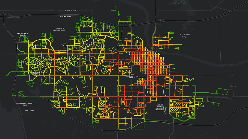
Generally public transit agencies have already begun responding, given a head start by the pandemic, and the need to provide services to essential workers. Using GIS and detailed demographic data, many public transit agencies were able to better understand their communities, the mobility needs of specific populations in need, and use that information to design targeted public transit services for these populations.
The more difficult challenge will be for the State Departments of Transportation, as they begin to build the capital improvement plans that will incorporate much of the funding of the IIJA. There are different understandings of equity, and how to measure equity, and I think transportation professionals will be grappling with these issues for some time. Each community will have to define these concepts and how they will operationalize building more equitable transportation for their entire communities. But it is also clear that GIS will be at the center of that analysis.
Sophia: What transportation organizations are successfully prioritizing equity in this area?
Terry: We have any number of great examples in the public transit arena as we mentioned. The Oakland Department of Transportation did some exemplary work creating their Geographic Equity Toolkit, which they used to identify priority neighborhoods for greater investment. Much of the analysis for this effort was conducted by Jeffrey Tumlin of Nelson Nygard, and when he became the Executive Director at San Francisco Municipal Transportation Agency, they similarly launched an equity initiative to guide their service delivery and build greater “ladders of opportunity” within the city.
Another outstanding example comes from the Centralina Regional Council who together with consultant HDR, helped define an equitable mobility plan for a widely diverse area.

A number of transportation agencies have hired Chief Equity Officers to help focus their efforts, and ensure they are meeting the requirements of the IIJA as they move forward.
Sophia: What data and information are most useful for transportation organizations to consider as they seek to advance equity in their work?
Terry: There are really two sides to that question. In the first instance, transportation professionals need to define the characteristics that make up their “equity neighborhoods” or those communities in need and understand their geographic location.
Each community’s equity considerations will be defined differently and can often go beyond identifying census tracts with high concentrations of low-income residents, people of color, zero-car households, people with disabilities, and people with limited English proficiency. Additional considerations can include gender equality, age, rent burden, environment, and education attainment, depending on the values of each community.
The public transit examples above I think really set the gold standard for this type of analysis. By combining detailed demographic data with other rich information datasets from Esri, transportation agencies can gain a rich understanding of the diverse communities in their service area.
Once transportation professionals and their community partners have identified priority equity communities, the next step is understanding the transportation needs and requirements of those individuals and households. Numerous studies have documented the “spatial mismatch” of many US cities, where a disconnect exists between where low-wage workers live and which jobs they have access to via transportation, making it difficult for job seekers to find and keep jobs and for employers to find and retain employees.
It is not just access to jobs that are critical to understand, but just as importantly, access to healthcare, shopping, educational opportunities, and understanding access by time of day. Esri technology provides powerful analytical tools, to help transportation professionals understand local transit accessibility issues and analyze accessibility to workplaces and other important locations.
Sophia: How does Title VI promote equitable decisions? How can a transportation organization move beyond Title VI requirements when addressing equity?
Terry: Title VI has long required that transportation agencies analyze investment decisions and policy changes to evaluate whether planned infrastructure will negatively affect low-income communities and communities of color. However, it is clear that Title VI has not been sufficient to help address the comprehensive transportation needs of our communities.
Transportation professionals will need to start incorporating an equity lens and framework to transportation investments. As the California Department of Transportation stated, “To establish a transportation system that benefits all people, California must embrace an equitable deployment of investments and policy interventions to prioritize the mobility needs of low-income individuals of color and address the historical neglect they have experienced.”
There are economic reasons for creating a more equitable transportation network: according to one major study, transportation access generates a five-to-one return on investment—every $1 invested in public transportation generates $5 in economic return.
Ultimately, we must understand that equitable access to transportation is central to our values as a nation. Transportation is the single most substantial factor in the ability to escape poverty. Conversely, a lack of transit access often further exacerbates structural inequities in health and wealth in low-income communities of color.
With the funding associated with the IIJA, we have a rare opportunity to design more equitable transportation networks. Backed by authoritative and relevant data and analysis, transportation professionals can invest in people and places according to their needs, creating a more equitable transportation system that serves the needs of all.
Sophia: How does ArcGIS technology differ from other technology used to enhance equity within transit organizations?
Terry: Most public transit agencies are characterized by any number of single point solutions – to establish service schedules, to track fleets in real time, to count passengers entering or exiting the bus. Many public transit agencies have not leveraged the data and analytical capabilities of ArcGIS to help them better understand their communities, and the specific mobility requirements of these various communities.
We feel there are four key areas where GIS can help transportation agencies define and build more equitable transportation systems.
- First, as we have mentioned, is to map and understand community inequities, and understanding the location of neighborhoods and communities to target. Each agency will determine the unique mix of considerations in defining their communities in need.
- Secondly, GIS together with mobility data can help us understand the rapidly changing mobility patterns in our cities, and rural areas. There are a range of new data sources based on anonymized cell phone data that together with GIS, can give us a more complete picture of how individuals and households move through our urban environments.
- Third, I think several public transit agencies are beginning to define best practices in terms of equity practice, and we will see the same development on the State Department of Transportation side as well. Currently most State DOTs use ArcGIS to help them make the most strategic, data-driven decisions of where to invest in infrastructure. Overlaying an equity lens with ArcGIS on these existing practices will help define new strategies for investments to redress past inequities and build more equitable transportation systems.
- Finally, we want to monitor the performance of our practices and investments, to ensure they are having the desired impact. Performance monitoring has become standard in many transportation agencies and provides a valuable feedback loop back into our planning processes. GIS is a central component for monitoring and visualizing our progress towards a more equitable future.
I am highly optimistic that through the IIJA and the Justice Forty Initiative, we will begin to redress historical inequities, and make significant progress on building more equitable transportation systems for the future.
Leveraging GIS to Promote Equity in Transportation Systems
Terry Bills explored what equity in transportation looks like. Although the IIJA states that equitable access to transportation is a civil right, it is up to us to operationalize this this into transportation investments. This will take time by first identifying priority equity communities. However, as Terry mentioned we are at a pivotal moment where technology like GIS allows us to take the necessary steps to equitably distribute federal funding and ensure communities in need are prioritized. We hope these examples will empower you to create an equity in transportation strategic plan in your jurisdiction.
Leverage ArcGIS to promote equitable public transit and equitable transportation systems.