Introduction
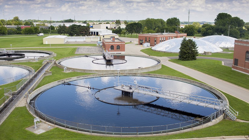
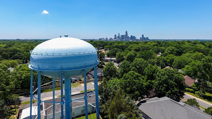
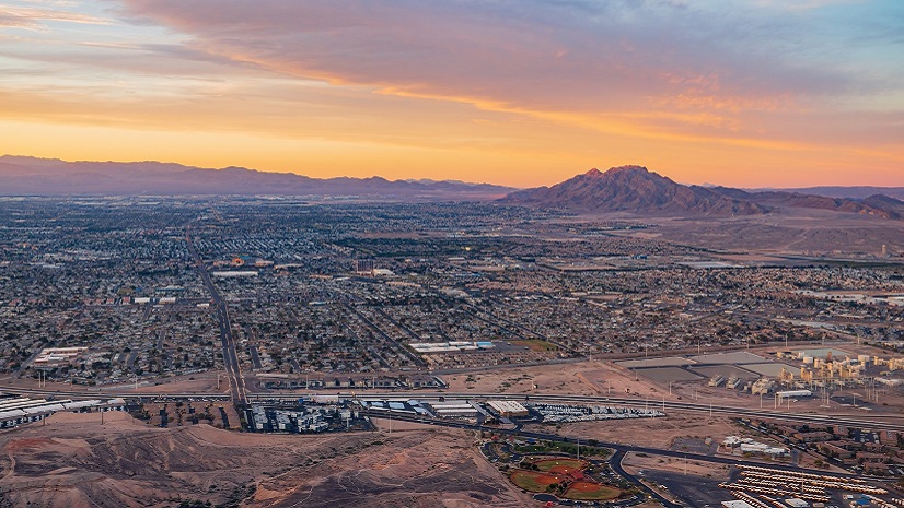
The city of Tuscaloosa, Alabama, known for its dynamic community and vibrant college atmosphere, faces unique challenges in managing its extensive sewer system infrastructure. With over 507 miles of sanitary sewer pipes and 252 miles of storm drains, the city’s water and sewer department is tasked with ensuring efficient, uninterrupted service to residents and the bustling university population alike.
Challenge
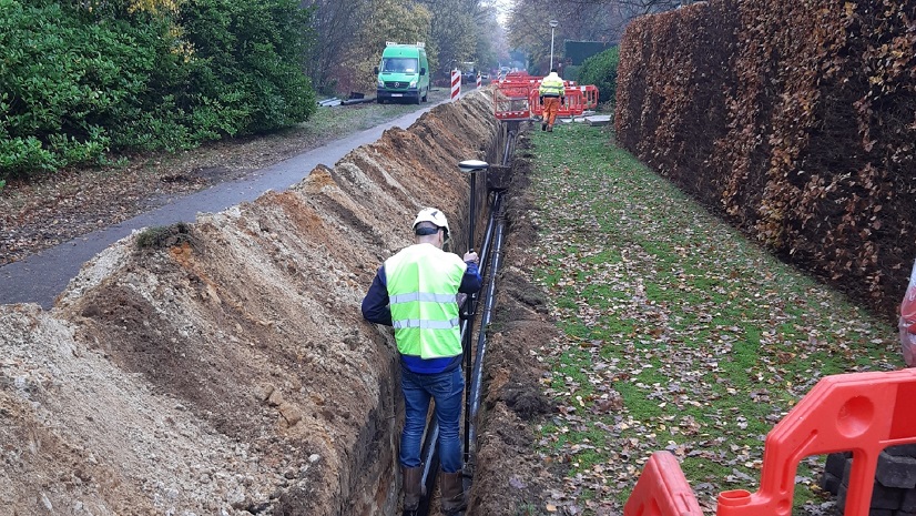
Tuscaloosa’s primary challenge was the lack of a cohesive system for managing and prioritizing sewer system maintenance. The existing processes not only were time-consuming but also lacked the precision needed for effective decision-making. The city needed a way to accurately identify areas requiring immediate attention, such as where there were blockages leading to overflows, or deteriorating infrastructure that could cause sinkholes. This was particularly important ahead of events like college football weekends when the population and demand on the system more than double with visiting Crimson Tide fans.
Partner
ITpipes provides software inspection solutions for water and wastewater utilities to help effectively collect, analyze, manage, and integrate pipeline inspection data in a fully integrated Esri solution. The company is an Esri partner and has Esri ArcGIS System Ready certification. The pipeline inspection software is listed on the ArcGIS Marketplace.
Solution
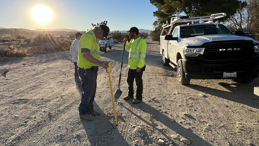
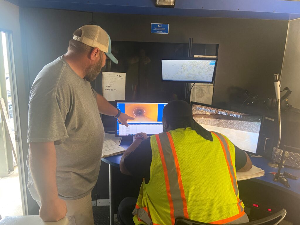
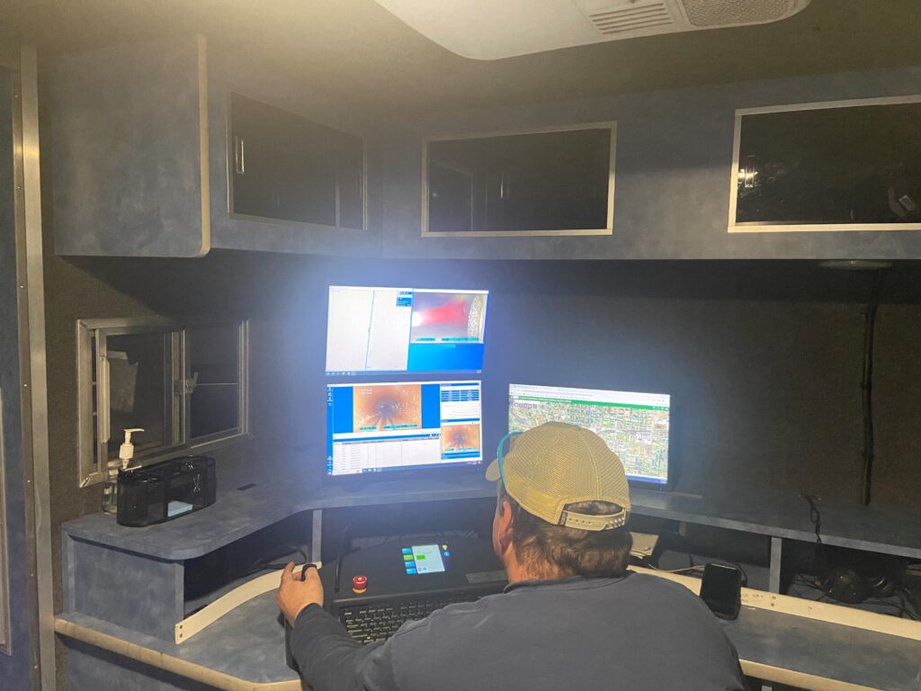
The city chose ITpipes to provide its leading video inspection software integrated with CentralSquare technology, and the resultant data would all be mapped with Esri’s ArcGIS software. This integration provided a powerful tool for visualizing the sewer network in a geographical context, allowing for more strategic planning and prioritization of maintenance tasks. The ITpipes solution offered comprehensive video inspection capabilities, enabling the city to conduct detailed assessments of the sewer lines’ condition. Coupled with Esri’s geographic information system (GIS) platform, the solution allowed for real-time data access and analysis, empowering field crews with actionable insights directly on-site.
Results
The adoption and integration of the ITpipes solution and Esri software revolutionized Tuscaloosa’s approach to sewer management. Thanks to a more efficient workflow, critical inspection and maintenance data is no longer siloed. This was the catalyst to more effective field operations, which helped the city experience a dramatic reduction in sewer overflows, cutting the number of incidents by more than half within three years. The systematic inspections conducted using ITpipes technology enabled the water and sewer department to cover approximately 10 percent of the system annually, ensuring a proactive approach to maintenance. This strategic shift not only improved the efficiency of the city’s sewer operations but also significantly reduced emergency repair costs, contributing to a healthier environment and enhancing the quality of life for Tuscaloosa’s residents and visitors.
“ITpipes [provides] a very versatile tool that helps efficiency in all processes through the city of Tuscaloosa, including [not only] repairs and maintenance of sewer assets but also billing and capital improvement projects. It is very user-friendly, and the tech support team is amazing!”
Stay Connected with Esri’s Water Team
ArcGIS is an extensive information system that enables modernization of workflows with easy-to-use applications for the field and office. Strengthen your organization with smart water solutions that will increase efficiency and provide insight for decision-makers. Visit the Esri Water Utilities web site for more information.
Join the Water Utilities Community
Follow #EsriWater on social media: Twitter | LinkedIn
Subscribe to the Water Industry newsletter “Esri News for Water Utilities and Water Resources“
About the author