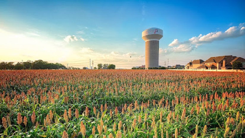
Pidpa is the manager of the public water distribution network for the Belgian province of Antwerp. It produces about 175 million litres of drinking water per day and supplies it to more than 1.2 million people in 64 cities and municipalities. Pidpa is also responsible for sewage management in 46 municipalities—a number that is still growing.
Pidpa has been using geographic information system (GIS) technology as part of its core processes for about 20 years. ArcGIS has played an important role in that work, especially when it comes to managing and maintaining pipeline network assets. For several years, Pidpa has used ArcGIS Utility Network to carry out the mapping and geographic asset management of the drinking water network. But Pidpa wanted to take steps toward a more data-driven approach, going from an analog method of asset mapping to a digital method via GPS. This will increase the quality of the data; enable Pidpa to work faster; and save time and, therefore, money.
Challenge
Until recently, locating and identifying underground water pipes was done according to old, manual methods. The position of pipeline assets were often mapped based on measurements made using a tape measure, for example. Then there was mapping that used synoptic sketches on paper, from site to supervisor to draftsperson. The material was often bundled for processing all the way to the end of the project. All in all, it was time-consuming, especially with a lead time of weeks or sometimes months before as-built processing could take place. On top of that, the quality and accuracy of the data were variable, to say nothing of the labor-intensive tasks of figuring out and tracing the work that was involved. In short, Pidpa believed that this could be done faster, more efficiently, and in a more user-friendly way.
Solution
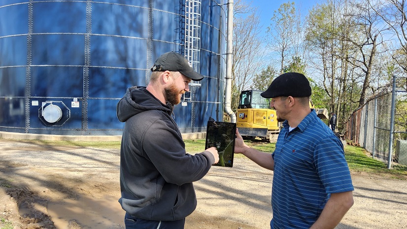
To tackle the identification of underground water pipes more efficiently, Pidpa now uses a more data-driven, automated way of working. Staff use the all-in-one ArcGIS Field Maps and ArcGIS Survey123 apps on an iPad mini, in combination with Leica GPS receivers, which are used to make measurements in the field. A major selling point with GPS mapping is data quality—measuring assets to the nearest centimeter and x, y and z coordinates with an adjustable profile. In addition, the credo is fast and digital—direct GIS mapping, subsequent as-built processes, and process optimization. Other selling points are the ease of use and user-friendliness for the technicians in the field. Pidpa workers find it easy to use and don’t need extensive training. In a day and a half, they can learn the tricks of the app and they can ask questions at a follow-up session. The transition from manual to digital surveying took about two years, although the COVID-19 pandemic may have impacted that. The transition may have gone faster were it not for the measures that were taken at the time.

Results
Thanks to the introduction of the user-friendly ArcGIS apps and GPS receivers, work in the field is now carried out more easily, effectively, and accurately, with improved data quality and shorter data processing times. The combination of apps and GPS receivers ensures that assets are digitally measured in the correct position faster and more accurately. This significantly reduces paper-based processes and lowers the risk of errors. Pidpa is so happy with this way of working that it has expanded the number of GPS configurations in ArcGIS Field Maps using the iPad mini from 7 to 31. Pidpa workers are also completely satisfied with the digital workflow. The apps can be configured and incorporate multiple types of users. It is also no longer necessary to import basic data onto a device. The data obtained from a survey is recorded directly in a geodatabase and is therefore available for as-built processing within a day.
The path Pidpa chose has proved to be the right one. The company intends to expand the automation and processing of GPS measurements, and the number of GPS configurations is likely to see a further increase. The data-driven method for locating and identifying objects underground could also be interesting for other utility companies. It is important for organizations that do not yet work with ArcGIS Field Maps to look carefully at what the app is capable of, know what the possibilities are, and understand their purpose to use the app. It is also important for organizations to win the support of their workforce for its use, showing them what it can do and especially the benefits it offers—that it can make their work easier, faster, and more efficient. This app is quick and easy to implement for work in every conceivable outdoor setting.
We have not for one second regretted making this step. Everyone is experiencing and embracing the ease and user-friendliness of ArcGIS Field Maps. Thanks to this flexible app, combined with the Leica GPS receivers, we can measure assets in the right position faster and more accurately, and record the necessary information, while enormously reducing the risk of errors. We are very happy to have taken this step toward a digital, data-driven approach, and to have thus significantly improved the mapping processes. This is a great achievement, based on the successful cooperation of business and IT.
Stay Connected with Esri’s Water Team
ArcGIS is an extensive information system that enables modernization of workflows with easy-to-use applications for the field and office. Strengthen your organization with smart water solutions that will increase efficiency and provide insight for decision-makers. Visit the Esri Water Utilities web site for more information.
Join the Water Utilities Community
Follow #EsriWater on social media: X | LinkedIn
Subscribe to the Water Industry newsletter “Esri News for Water Utilities and Water Resources“
Learn more about how GIS supports digital transformation.