To kick off the fall season, I’m sharing a roundup of some of my top mining resources. From customer stories to blogs and articles, these easy-to-read insights offer a broad perspective on GIS, location intelligence, geospatial trends, and the Esri mining community.
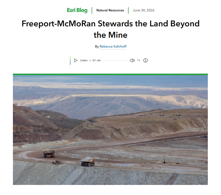
In Freeport-McMoRan Stewards the Land Beyond the Mine, I explore how Freeport-McMoRan uses enterprise GIS to support environmental remediation, including decades of residential cleanup near legacy sites, and how the company rebuilt its Townsite Information Access (TIA) platform on ArcGIS.
That same need for connected information extends across the mining life cycle. In From Claims to Reclamation: How GIS Workflows in Land Management Are Reshaping Modern Mining, I look at how connected GIS workflows support claims, permitting, stakeholder engagement, compliance, and reclamation, helping organizations reduce risk, improve efficiency, and make better-informed decisions.
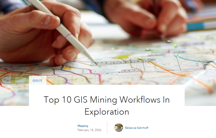
For exploration teams, a strong GIS program provides the foundation for turning field data into timely decisions. In Top 10 GIS Mining Workflows in Exploration, I highlight practical workflows that improve data management, guide exploration decisions, streamline field operations, and support drilling programs.
Many of these same topics came up in mining sessions and conversations at the Esri User Conference in July. My key takeaways included the role of GIS in enabling AI, the importance of data readiness, and the practical application of GeoAI and digital twins. I share my perspective in Reflections from UC 2026: AI, GIS, and the Future of Mining.
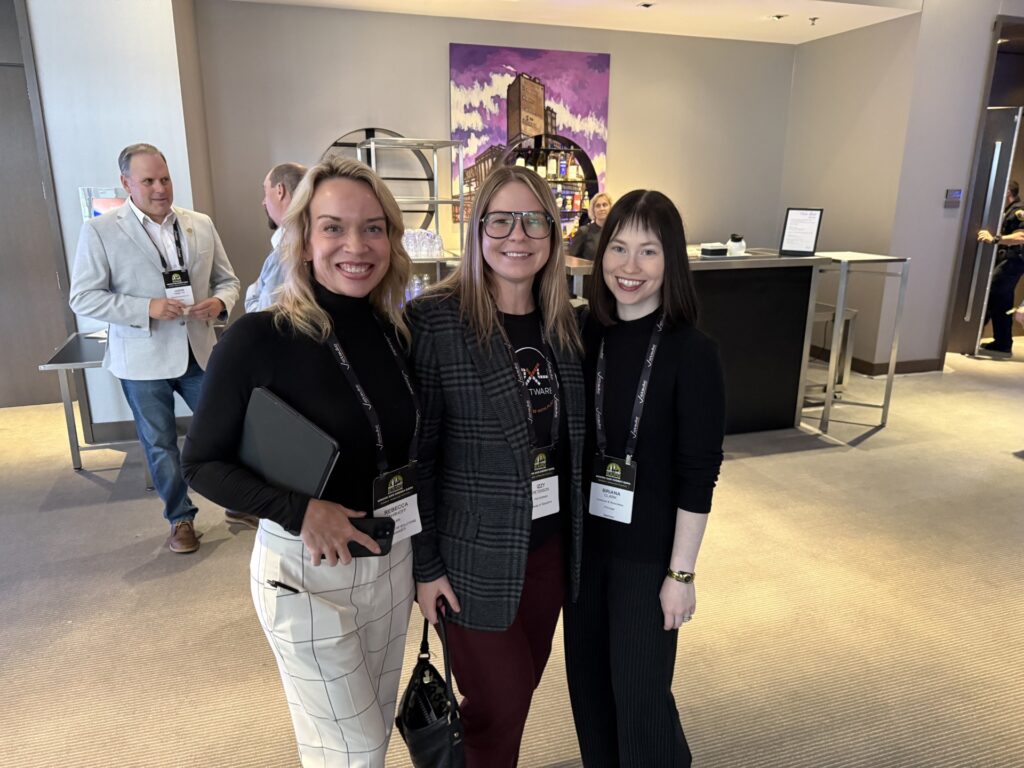
This September, we spoke at the 2026 Landfolio Americas User Summit in Vancouver, with our Gold Partner Spatial Dimension and the wider Landfolio community. Together we explored the latest Landfolio + GIS offerings and shared best practices across natural resource companies and government agencies.
This October, I attended the BIOBY Mining and Energy Expo in Bloomington, Minnesota, where industry leaders shared insights on accelerating domestic critical minerals production. The consensus was clear: the U.S. has the resources and increasingly the political will to meet demand for copper, nickel, rare earths, and other essential materials. What stood out was the diversity of approaches on stage, from in-situ recovery and innovative “mine in a box” designs to rare earth-free alternatives and organic phosphate processing. Federal financing is flowing, permitting is accelerating, and dozens of projects are moving from scoping toward production. But the conversation also highlighted recurring challenges: workforce development, water constraints, refining capacity bottlenecks, and the irreplaceable value of transparent community engagement. Across nearly every presentation, one insight echoed: projects that win local and regulatory support share a common trait: they invest in early, transparent stakeholder engagement and back it with robust data and planning. That’s where GIS and location intelligence become critical tools, enabling mining companies to visualize impact, plan responsibly, and make decisions grounded in accurate, connected information.
In November, I’m heading to the Underwater Minerals Conference in Toyama, Japan to explore how these same principles apply to deep-sea mineral exploration and development. As nations and companies look beyond terrestrial resources, the role of marine geospatial data and location intelligence in understanding seabed resources, managing environmental risk, and supporting informed decision-making will be just as essential. I’m looking forward to sharing what I learn with the Esri mining community when I return.
And if you’re attending the AEMA Annual Meeting in Reno this December, I’ll be speaking about GIS in Land Management 101 short course. Whether you’re new to GIS or looking to strengthen your land management workflows, I’d love to see you there. It’s a practical opportunity to explore how location intelligence supports permitting, claims management, stakeholder engagement, and reclamation across the mining life cycle.
I hope these resources offer ideas and practical guidance as you consider the possibilities of GIS this fall.