My biggest takeaway from Esri UC 2026: AI may be the headline, but geography remains the foundation.

Last week I had the opportunity to attend the Esri User Conference in San Diego, and as always, I came away energized by the technology, the people, and the vision for where our industry is headed.
While there were countless announcements and technical sessions, several themes consistently emerged throughout the week, especially around AI, geospatial technology, and the mining industry.
AI and GIS: Better Together
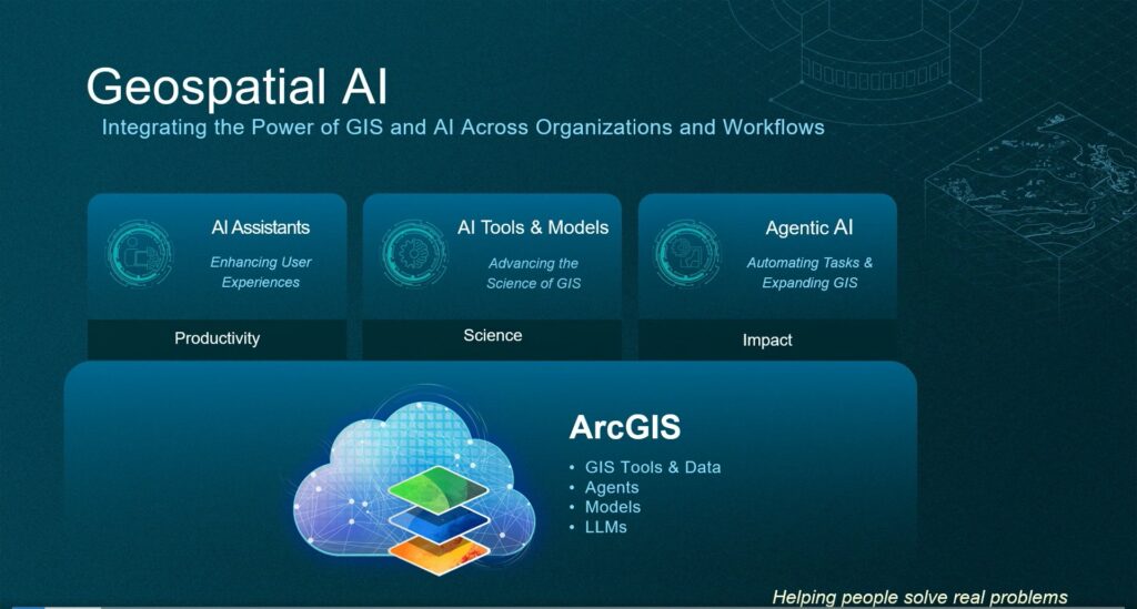
Artificial Intelligence was impossible to ignore at this year’s conference. Jack Dangermond and Esri’s leadership team spent significant time discussing the relationship between AI and GIS, and their message was clear:
GIS enables AI and AI enhances GIS.
What stood out to me most was the shift in how the GIS community is approaching AI. A year ago, many organizations were still evaluating risks and wondering how AI might impact their business. Today, many Esri users are moving from fear to understanding, from experimentation to implementation.
One message resonated throughout the conference: technology is accelerating rapidly, but people remain the critical ingredient. We already are seeing a boom in blue collar jobs as a direct result of data center construction. This may be a controversial take but I’ve noticed more job creation than job loss as a direct result of AI. Maybe that’s because I’m a glass half full type. AI is a powerful and evolving tool, but it still requires knowledgeable professionals to create, design, provide context, validate outputs, and make sound decisions.
There was also a refreshingly realistic discussion about the future workforce. Some jobs will undoubtedly be automated, but entirely new opportunities will emerge. The need for GIS professionals is not disappearing. If anything, demand for experts who can understand geography, data quality, workflows, and business context will continue to grow.
The conversations around foundation models, Agentic AI, and geospatially enabled AI suggested that we are still at the beginning of this evolution. Organizations that understand both data and geography will be well positioned to take advantage of what comes next.
AI Success Starts with Data Readiness
If there was one lesson repeated throughout both the executive sessions and conversations with the user base, it was this:
AI is only as good as the data behind it.
Mining companies are actively searching for ways to successfully and efficiently implement AI. However, the reality is that data readiness remains one of the largest hurdles.
Data cleanup, governance, integration, and standardization are not glamorous topics, but they are essential. AI can potentially deliver extraordinary returns, but poor inputs still produce poor outputs.
Several companies are keen to embark on successful AI implementations, but in every case there needs to be a significant investment in creating reliable, structured, and accessible data first.
GIS Is Already Your Digital Twin
One of my favorite moments from the conference came from Jack’s simple statement:
GIS is a Digital Twin.
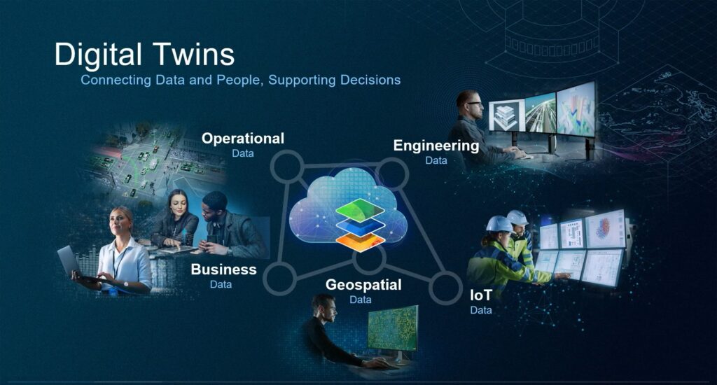
For years, organizations have been discussing digital twins as something they need to build. Esri‘s perspective is that many organizations already possess the foundation of a digital twin through their GIS.
The conference showcased numerous examples where organizations combined spatial data, operational systems, sensor feeds, imagery, and 3D content into a living representation of their environment. Whether monitoring environmental conditions, visualizing future mine plans, or supporting permitting efforts, GIS served as the common platform bringing everything together.
Mining Track Highlights
The Mining Track was packed with practical examples of organizations using GIS to solve real-world business challenges.
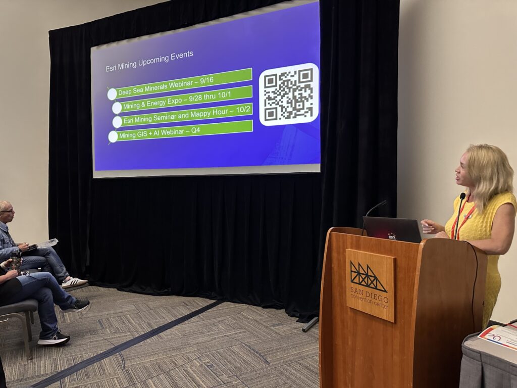
Several themes emerged repeatedly:
- Spatial insights from enterprise data
- Reclamation and environmental stewardship
- GeoAI and deep learning workflows
- Virtual Reality (VR) and Augmented Reality (AR)
- Community engagement and stakeholder communication
- 3D subsurface visualization
- GIS as foundational enterprise infrastructure
GeoAI and Reclamation
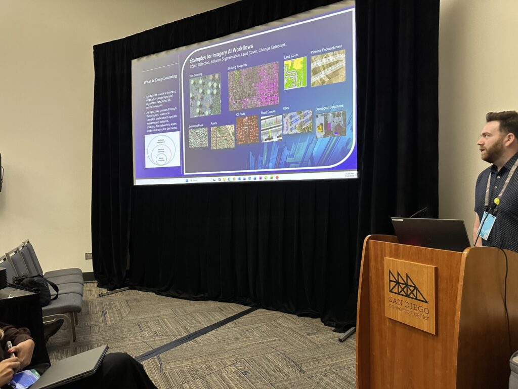
One of the standout presentations came from Stantec‘s Alex Harrison, who demonstrated how GeoAI is transforming reclamation workflows. Deep learning models were used to automate tree counts for bond release activities and monitor landslide conditions with significantly greater consistency than traditional manual sampling methods. The results showed how AI can improve both precision and scalability when combined with strong geospatial workflows.
Environmental Monitoring at Scale
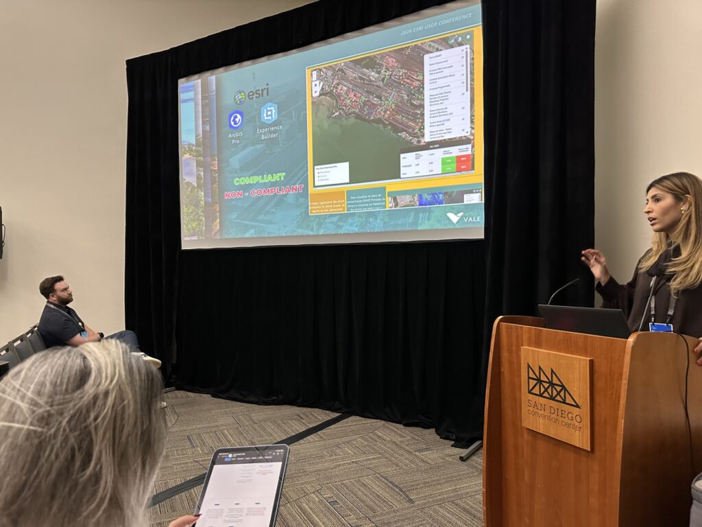
Vale‘s Veronica Silva showcased a GIS-enabled environmental monitoring platform that integrated field inspections, sensor networks, SAP data, dashboards, and predictive analysis into a single operational view. The project illustrated how organizations are turning raw data into actionable intelligence and proactive decision-making.
3D and Digital Twins in Mining
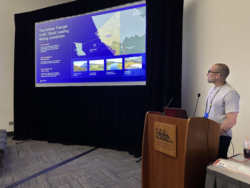
Skeena Gold + Silver demonstrated how drone imagery, 3D visualization, Experience Builder, and enterprise GIS are helping create near real-time awareness across project teams. Their rapid growth from a small GIS program to broad company adoption reinforced the value of making geospatial information accessible to everyone.
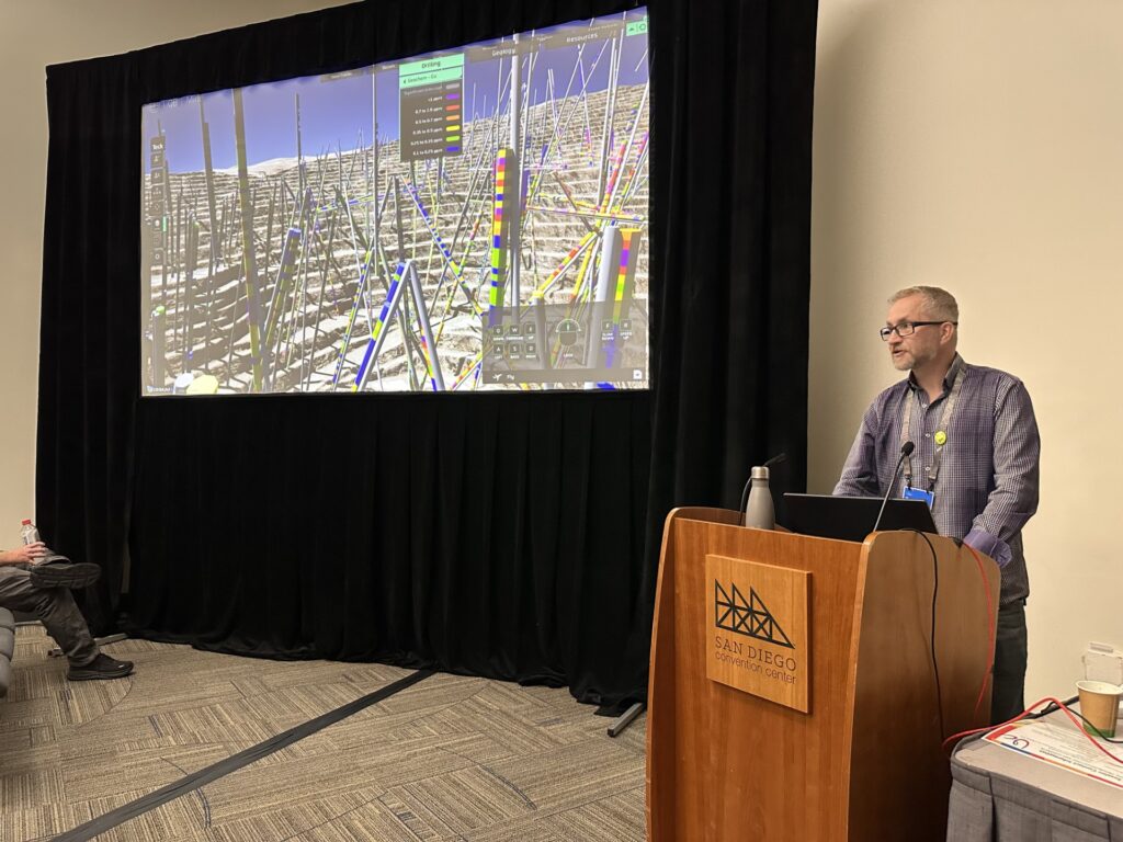
Similarly, Teck‘s MetaTwin platform showcased an impressive vision for immersive mining operations. By combining geoscience data, engineering models, sensors, drone imagery, and GIS into a VR-enabled environment, they are creating new ways to support planning, permitting, training, and stakeholder engagement.
Community Engagement Through GIS
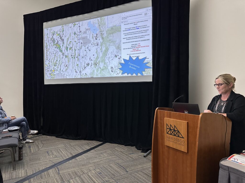
The Nevada Division of Minerals highlighted how Experience Builder applications can make complex mining, permitting, and educational information accessible to the public. Their work demonstrated that GIS is not only a technical platform, but also a powerful communication tool that can improve transparency and understanding.
Celebrating a Special Achievement in GIS
One of the highlights of the week for me was seeing my alma mater, Freeport-McMoRan, receive a 2026 Special Achievement in GIS (SAG) Award for their Townsite Information & Assessment (TIA) System.
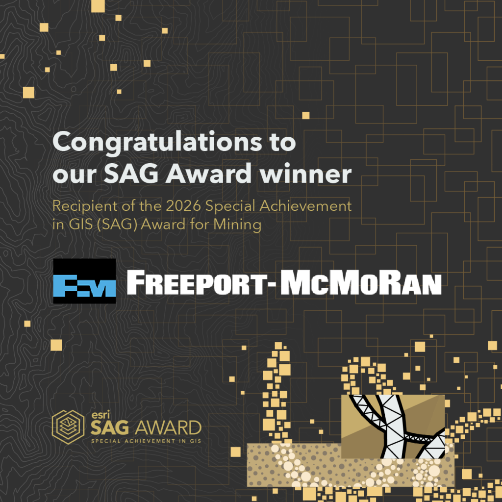
The project is a powerful example of GIS delivering measurable business and community value. Faced with decades of fragmented environmental and remediation records following a major acquisition, Freeport rebuilt its Townsite Information & Assessment system on ArcGIS, connecting mobile field data collection, centralized records management, real-time dashboards, and automated reporting into a single operational platform.
The results have been impressive, and you can read about their amazing GIS work in our Esri Blog “Freeport-McMoRan Stewards the Land Beyond the Mine“. Information retrieval that once required days of searching can now be completed in seconds, helping environmental teams improve compliance, reduce risk, and accelerate remediation activities. Beyond operational efficiency, the project is helping return remediated legacy townsites to communities as parks and usable land, demonstrating the positive impact GIS can have far beyond the boundaries of a mining operation.
Congratulations to Chris Franks and the entire Freeport-McMoRan team on a well-deserved recognition. It’s exciting to see a mining company receive recognition for treating GIS not simply as a mapping platform, but as critical business infrastructure that drives real outcomes.
The Value of Partnerships
One final takeaway reinforced something I’ve seen repeatedly throughout my work with mining organizations.
No single company can solve every challenge.
Esri’s partner ecosystem continues to play an essential role in helping customers address specialized requirements. Whether it is advanced environmental monitoring, AI model development, 3D visualization, operational technology integration, or industry-specific workflows, partners provide focused expertise that complements the ArcGIS platform.
Likewise, Esri distributors around the world bring decades of local knowledge, technical expertise, and customer experience. Many have developed unique content, workflows, and best practices that can accelerate customer success. The conference reinforced the importance of engaging distributors and partners early and often.
A Stronger Mining GIS Community
Another exciting development coming out of UC is the creation of a dedicated Esri Mining User Group webpage designed to better connect GIS professionals across the mining industry.

The site will serve as a central hub for the mining GIS community and is expected to include:
- A Mining User Group newsletter highlighting industry trends, upcoming events, and customer success stories
- A link to our partner directory to help organizations identify specialized solution providers
- Customer spotlights showcasing innovative uses of ArcGIS across the mining value chain
- Frequently used datasets and resources commonly leveraged by mining GIS professionals
- Community-driven content that encourages knowledge sharing and collaboration
One of the recurring themes throughout UC was the importance of learning from one another. Whether through customers, partners, Esri distributors, or industry peers, some of the most valuable insights come from practitioners who have already solved similar challenges. The Mining User Group webpage will help foster those connections and make it easier for mining professionals to share best practices, discover new ideas, and accelerate their GIS and AI journeys.
Looking Ahead
My biggest takeaway from Esri UC 2026 is that GIS is becoming even more central to how organizations understand and manage the world around them.
AI may be the headline, but geography remains the foundation.
The organizations seeing the greatest success are not simply deploying new technology. They are building strong data foundations, embracing spatial thinking, empowering their people, and leveraging partnerships to solve meaningful problems.
The future of AI will undoubtedly include geography, and the future of GIS will undoubtedly include AI.
That future is arriving faster than ever.