When it comes to permitting, local government organizations often face end-to-end workflow, data, records, and coordination challenges. The strongest evidence appears in permitting processes that rely on downloadable PDFs, email routing, paper signatures, spreadsheets, legacy portals, disconnected work order systems, and inconsistent status data. These inefficiencies drastically slow permit processing.
In today’s competitive environment for community growth, time is money. Inefficient permitting can drive development opportunities elsewhere.
Signs Your Permitting Process Is Holding Your Community Back
Organizations experiencing inefficient permitting often share common characteristics:
- “Download this PDF and email it” is the primary service path.
- No status lookup is available, statuses are unclear, or the process lacks transparency.
- Applicants must call or email for updates.
- Separate portals exist for related permitting activities.
- Current forms or PDFs are not accessible.
- Public maps are static PDFs instead of operational dashboards.
- Compliance reporting requires extensive manual data gathering.
- Field crews cannot attach photos, update status, or work offline.
The operational impacts are significant, including:
- Increased cycle times and permit backlogs
- Duplicate data entry
- Lack of transparency and auditability
- Reduced productivity
- Diminished interdepartmental coordination
- Poor citizen experience
- Lack of trust
The Cost of Waiting Is Greater Than the Cost of Change
Unfortunately, modernization of the permitting process can no longer wait. A recent article from NTT Data, Public sector modernization: Why the cost of waiting is now greater than the cost of change, says, “The biggest risk facing state and local governments is waiting too long to modernize.” It goes on to say, “The truth is that it costs more to keep old systems running than to upgrade them. When you factor in growing cybersecurity risks, rising public expectations and the groundwork needed for AI, the numbers make even more sense.”
The article identifies three key modernization priorities:
- Build a trusted data foundation.
- Prioritize services that have the greatest impact on the public.
- Establish a modernization operating model.
Modernization Requires More Than Putting PDFs Online
Best practices dictate that modernization must go beyond “put the PDF online.” Instead, use business process modernization that includes:
- Capturing structured data once
- Routing work through governed workflows
- Connecting to GIS/assets/records
- Exposing operational status and performance measures
An important point to remember is that if budgets are tight, the only way to do more with less is to implement proven technology.
Why GIS-Centric Permitting Matters
Fear not if you are in this situation. Industry leaders, Esri and Trimble have partnered to provide the leading GIS-centric permitting solution, Trimble Unity Permit.
Permitting is a location-based workflow. Built by Esri, ArcGIS, the world’s most powerful GIS software, is the mission-critical, enterprise IT business system that turns location data into insight, powering better decision-making and delivering significant business value.
GIS Is More Than Digital Mapping
There is a distinct difference between digital mapping and GIS. Digital maps help us communicate where things are. GIS helps us run smarter business operations like permitting.
GIS can:
- Manage authoritative asset data
- Connect work orders and inspections
- Analyze patterns and trends
- Support capital planning
- Verify regulatory compliance
- Enable faster, more defensible decision-making
Trimble Unity Permit is built to work with ArcGIS mapping and spatial capabilities. Without GIS-based permitting, your ability to consistently and efficiently meet the growing and evolving needs of your community is severely hampered.
Real-World Success Stories
Organizations from across the U.S. are realizing the benefits of Permit.
- Racine, WI – modernized asset and permit management with ArcGIS and Trimble Unity
- Round Rock, TX – streamlines permitting and asset life cycle management with GIS-centric Trimble solutions
- Salt Lake City, UT – reclaims twenty hours of monthly productivity while gaining total visibility into the entire asset lifecycle
They are making permitting faster and more predictable, replacing confusion with clarity, and delivering peace of mind with built-in safeguards. They are also solving problems, improving their organization, and enhancing their communities.
See GIS-Centric Permitting in Action
Join Esri, Trimble, and MetroConnects, a wastewater utility in rapidly growing Greenville Co., SC, for a webinar to and see how they are transforming community growth through GIS-centric permitting.
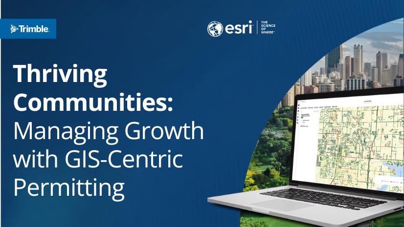
Thriving Communities: Managing Growth with GIS-Centric Permitting
Date: Tuesday, August 25
Time: 1:00 PM to 2:00 PM Eastern
What You’ll Learn
Discover how MetroConnects successfully modernized their operations to handle surging development. Facing a 55% increase in permit demand, MetroConnects shifted from paper-reliant workflows to an automated, GIS-driven platform using Trimble technology integrated with Esri’s ArcGIS.
By adopting this centralized approach, MetroConnects:
- Accelerated review cycles
- Eliminated manual work order creation
- Increased transparency for developers through a digital portal
Today, MetroConnects seamlessly processes over 2,400 permits annually without increasing administrative burdens.
Attend this session to learn how a geographic approach to permitting can help your agency streamline workflows, ensure regulatory compliance, and manage infrastructure demands.
Speakers
- Jake Tittle, MetroConnects CIO
- Adam Carnow, Esri Public Works Industry Specialist
- Bruce Jumper, Trimble Partner Advisor
- Brett Ruoti, Trimble EAM Senior Sales Manager