The Esri team just finished another energizing National Recreation and Park Association (NRPA) conference in Philadelphia, PA. According to NRPA, this was a record-breaking event with 8,782 attendees and 532 exhibitors. As I mentioned in my NRPA Conference Preview Blog, I provided a to-do list for attendees:
- Visit with our team of subject matter experts to see how ArcGIS can help you blaze a trail to smart parks.
- Get your custom parks and recreation market report for your city or county.
- Learn about our 29 Parks and Recreation ArcGIS Solutions.
- Visit our partners in the exhibit hall to learn more about how they can support your mission.
- Check out the GIS sessions at the conference.
- Review our online parks and recreation resources.
Busy Times at the Esri Booth
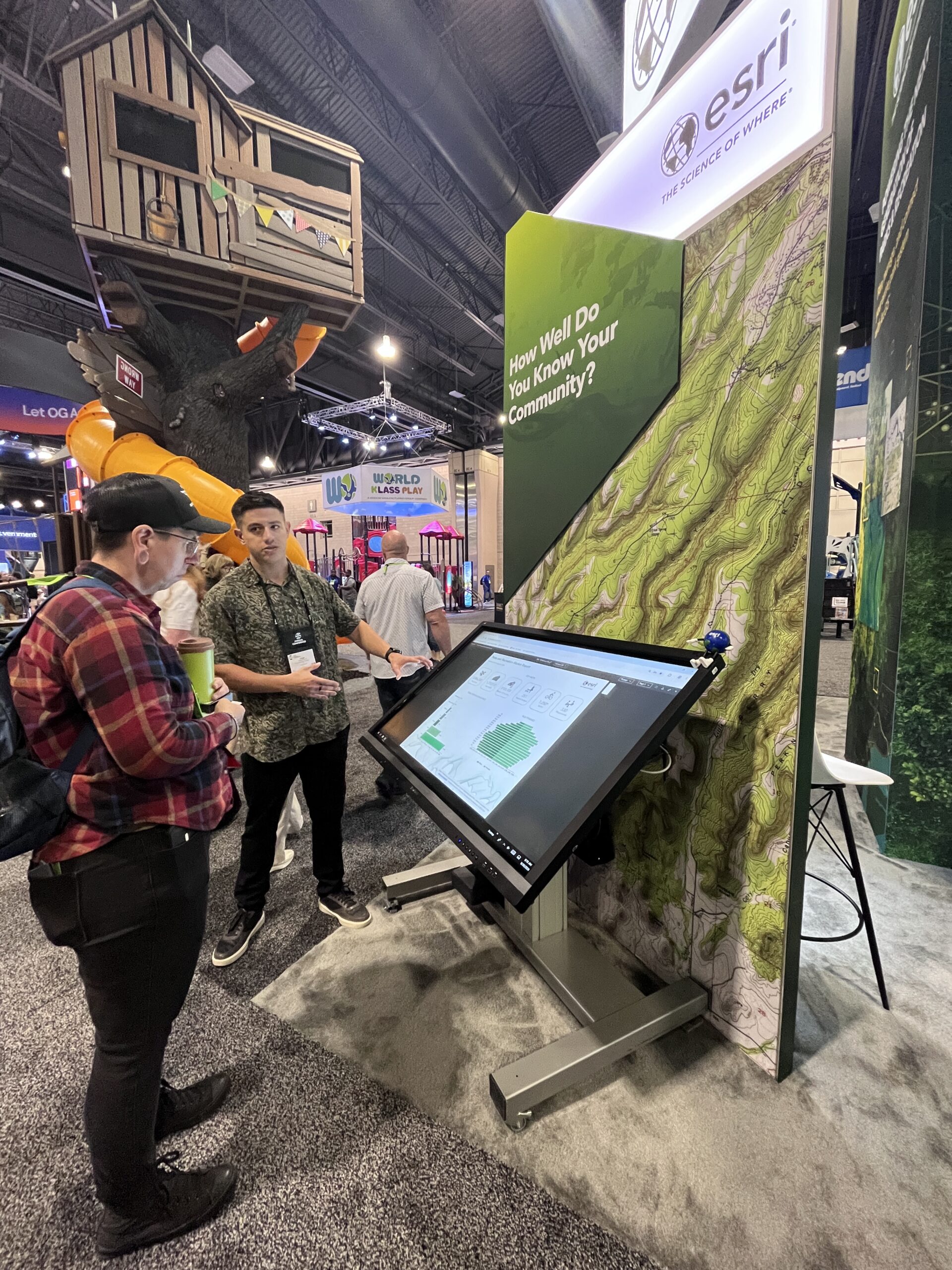
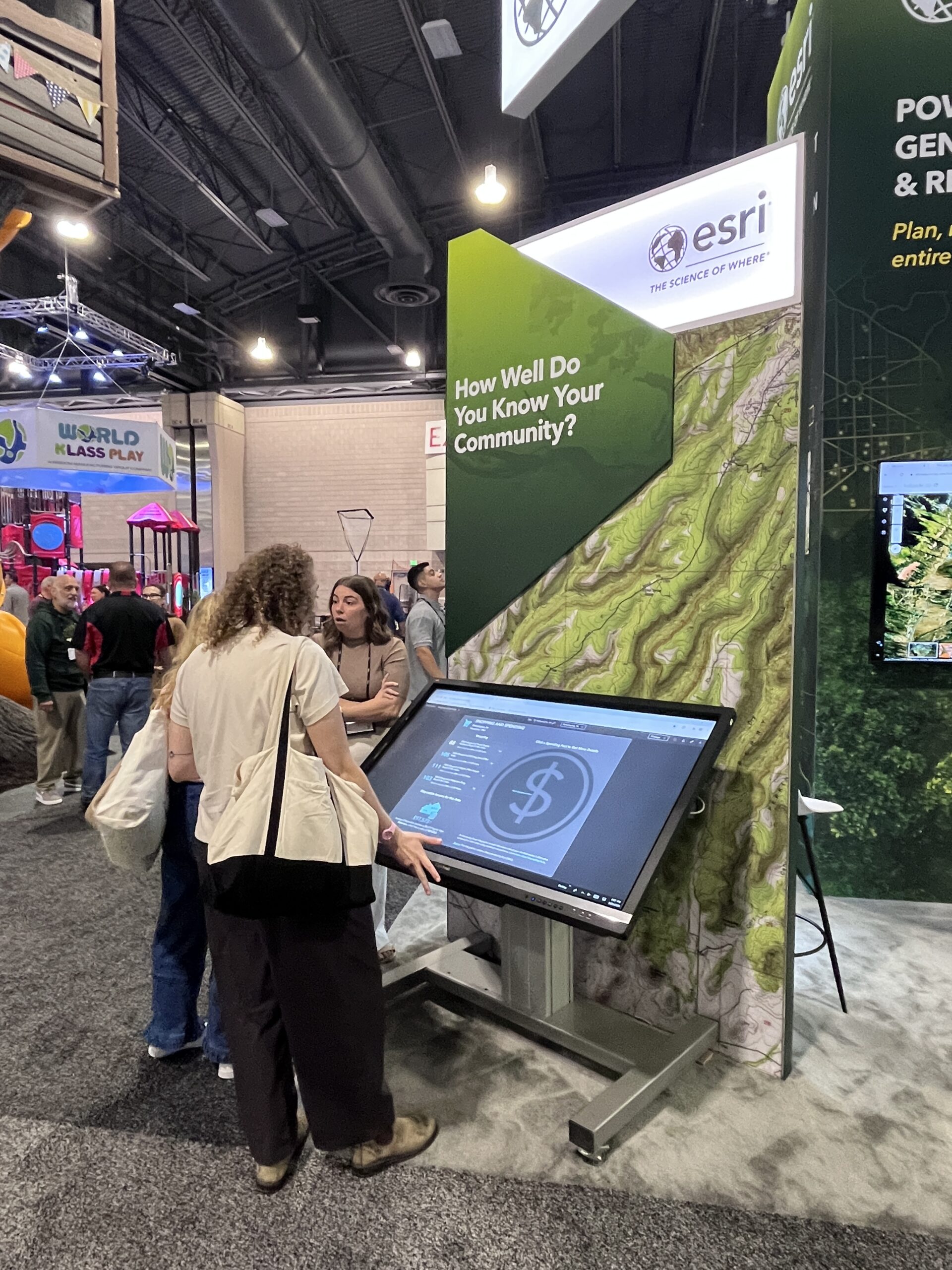
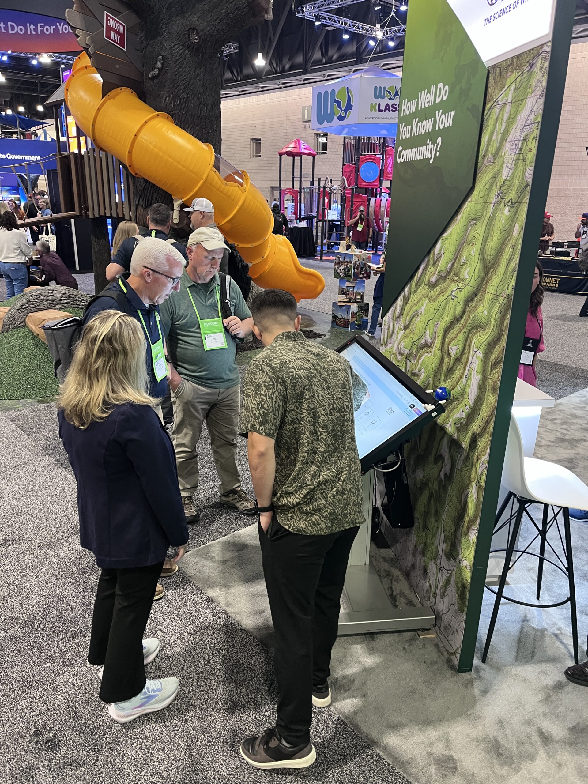
It seems that many took this to heart, as the Esri booth was very busy. We enjoyed touching base with parks and recreation professionals from the public, private, and nonprofit sectors. This included people from across the U.S. and abroad. This community is so dedicated, passionate, friendly, and enthusiastic about the power of GIS.
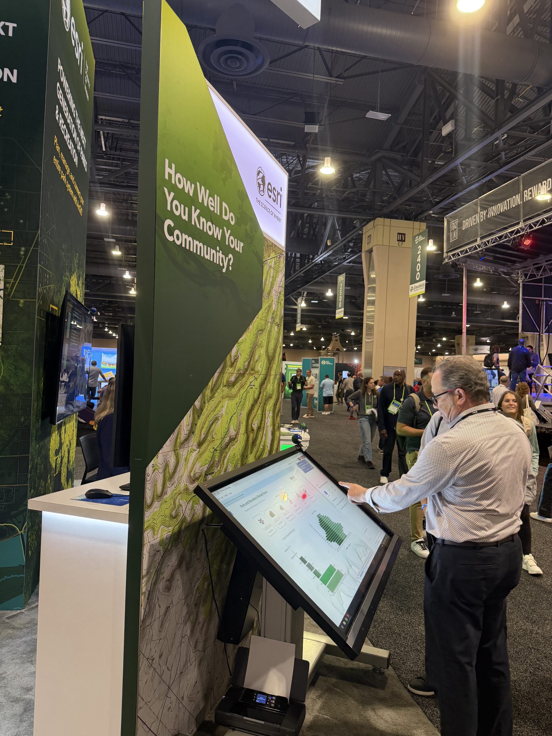
One of the popular things to do at the booth was to pick up a custom parks and recreation market report created by ArcGIS Business Analyst. If you are not familiar with this product, please click on this link to learn more. Business Analyst provides easy-to-use access to powerful map-based analytics powered by a vast collection of demographic, business, lifestyle, spending, and census data. The web app standard version is included with Creator, Professional, and Professional Plus user types. You may already have access to it.
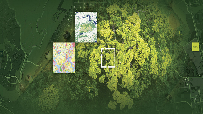
Another popular thing to do at our booth was to learn more about the 29 Parks and Recreation ArcGIS Solutions. These are included, supported, industry-specific configurations of ArcGIS that utilize your authoritative data and help improve operations, provide new insight, and enhance services. Many visitors to the booth were not familiar with ArcGIS Solutions. This is the largest collection of geospatial solutions and is the best way to sustainably expand the use of GIS in your organization. These solutions are available to ArcGIS users at no cost and can quickly be deployed, configured, and then utilized by people across your organization to support their daily work.
The Need for Awareness
While at the booth, I met a local government park executive, and he stated that his organization used ArcGIS and wanted to know what was new. I asked him if he had heard about our ArcGIS Solutions. He said no, so I showed him the ArcGIS Solutions gallery and started to browse the parks and recreation solutions. He noticed the Tree Management Solution and asked to see more about it.
I started to show it to him, and he shook his head from side to side. I asked what was wrong, and he pulled his phone out of his pocket and demonstrated a custom tree management application that one of their developers had created. He was frustrated that they had committed precious staff time to create something that already existed. But he was also thrilled to know that they had access to dozens of solutions at no cost that are easy to implement and maintain. They will be a huge help in expanding their digital transformation process and mission to eliminate paper-driven, manual, inefficient processes.
We encounter this scenario repeatedly at every event, and it shows that there is a need for more awareness within organizations that use ArcGIS to prevent duplication of effort and the underutilization of GIS. If you are a GIS professional, please be a GIS evangelist and proactively communicate the power of GIS and what tools your ArcGIS users have access to, like Business Analyst and ArcGIS Solutions. If you are not a GIS professional, please reach out to your GIS staff and ask them to show you what tools, training, and support are available. We all need to do more with less, and the way to do that is by using proven technology, like ArcGIS.
Parks and Recreation ArcGIS Success Stories
We spent a lot of time with visitors showing off customer success stories. Here are some of our favorites:
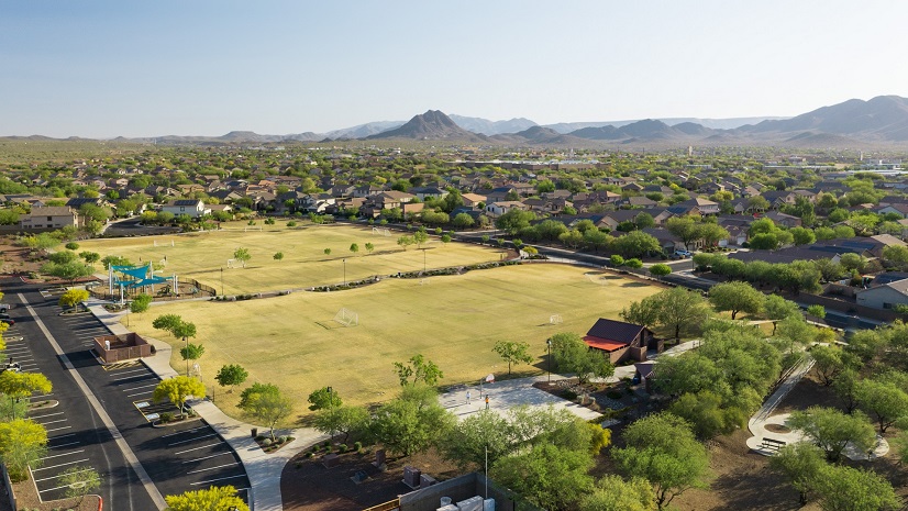
- Chattanooga, TN – Chattanooga’s Mayor Kelly Maps a Path to America’s First National Park City
- Austin, TX – Austin’s Digital Twin Project Enhances Space Management for Parks and Recreation
- Plano, TX – How Plano Turned a Resident Question into a 3D Shade Tool
- Escondido, CA – Running a Smarter City with Hub Technology
- Midpeninsula Regional Open Space District – Award-Winning App Redefines Trail Accessibility for Hikers
- Eugene, OR – Mapping Our Path to a Better Park System
If you have a story using ArcGIS to support parks and recreation, we’d love to help you share it with the community. You can submit it directly to Esri via our self-service GIS Success Story Submission Portal. If you’d like to share it at next year’s NRPA Conference, the call for session proposals closes November 30, 2026.
Huge thanks to those who presented GIS sessions at this year’s NRPA conference:
- Montgomery County, MD Parks
- Champaign, IL Park District
- San Antonio, TX Parks and Recreation
- Minneapolis, MN Park and Recreation Board
- Lincoln, NE Parks and Recreation
Stay Connected
If you are interested in staying up to date on the latest parks and recreation technology trends, customer stories, GIS best practices, and ArcGIS innovations, subscribe to our monthly eBrief and explore our online resources.