There are two terms that can easily qualify as trendy buzzwords these days, resilience, and sustainability. According to Google, worldwide search interest for sustainability reached record highs in 2021, and the interest in these terms has increased dramatically. Since 2004 the interest in sustainability has almost tripled, and for resilience the interest has increased almost nine times.
Most people do not know the meanings of these terms and the difference between them, so here are their definitions:
Resilience – the capacity to recover quickly from difficulties; toughness
Sustainability – the ability to be maintained at a certain rate or level. Avoidance of the depletion of natural resources in order to maintain an ecological balance.
- From Lexico.com powered by the Oxford English Dictionary
Here is an excellent sentence that highlights the difference between them:
While sustainability looks at how current generations can meet their needs without compromising that ability for future generations, resilience considers a system’s ability to prepare for threats, to absorb impacts, and to recover and adapt after disruptive events.
It is important that we understand these terms as they are popular concepts that are driving the goals of organizations across the globe. Geospatial thinking plays a critical role in building resilience and sustainability.
If organizations have goals to be resilient and sustainable, then they need their GIS to support those goals. An example of this is the seventeen Sustainable Development Goals of the United Nations (UN SDGs) that were adopted by all UN Member States in 2015 to provide a shared blueprint for peace and prosperity. This Esri web site provides details on how ArcGIS can be used to support the UN SDGs. The use of SDGs is being applied by local government agencies, like San Jose, CA. Check out their SDG hub site and dashboard powered by ArcGIS.
For resilience, this Esri web site on Resilience Planning provides guidance and examples of how GIS can support resilience initiatives. The ArcGIS Solutions collection includes some resilience solutions.
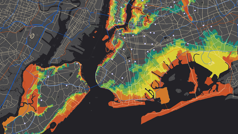
This is a great example of a local government application of GIS that supports both resilience and sustainability: How Austin’s Map of Trees Helped City Leaders See and Tackle Social Inequities. Austin, TX is becoming more resilient to climate change, by countering the urban heat island effect through increasing the tree canopy in prioritized areas. This initiative is also increasing the City’s sustainability, as the number of trees increase, so does their ability to provide carbon sequestration to help counter air pollution.
Odds are leaders in your organization are working on achieving resilience and sustainability goals. If so, then contact them to learn more about these goals, and seek ways to apply GIS to help mitigate their challenges with assistance from your Esri account team and our partners.
The stories that appear on our industry webpages, in our industry digital and print newsletters, and in our other industry-focused content are contributed by Esri software users, partners, and others. These stories are meant to help you raise the profile of GIS both inside and outside your organization, highlight innovative approaches to solving challenges with GIS, and inspire others to replicate your success. If you have a story to tell, we welcome you to submit your recent success with us at go.esri.com/sharestory.