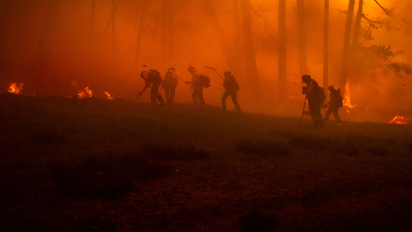
If you’ve followed along through the first two posts of this series, you know that modern wildfire intelligence is built on a network of apps and national data feeds. But where do firefighters and analysts go when they need to collect operational data, triage structures, gain access to useful FireGuard data, and leverage map templates? Today we’re unlocking the National Interagency Fire Center’s (NIFC) ArcGIS Online organization, a one‑stop shop for wildland fire mapping tools and data that’s open to federal, state, local, and tribal agencies and other partners.
Most firefighters I’ve met are still surprised to learn that NIFC runs its own ArcGIS Online organization and that it isn’t reserved for the feds. If you’re a wildland firefighter working for federal, state, local, or tribal agencies, you qualify for an account. In fact, more than 40% of the users in the NIFC org are NOT federal. Yes, even small departments in rural states can get access.
NIFC’s ArcGIS Online Organization
NIFC manages a secure, interagency ArcGIS Online organization. It hosts authoritative operational datasets, web map templates, and mobile apps that streamline incident mapping and data collection. These services are configured specifically for wildland fire operations and are curated to ensure that everyone—from the incident command teams to members of a fire use module who are hiking in with a map on their phone—is looking at the same data.
Getting Access
Getting access is painless: visit the NIFC Org Support Hub Page and click ‘New Account Request Form.’ Applicants generally need to be affiliated with a wildland fire agency, a cooperator, or otherwise have a stake in wildland fire. Once approved, your login opens the door to a well‑organized library of data and tools that increase situational awareness.
The National Incident Feature Service
At the core of the NIFC org lies the National Incident Feature Service (NIFS). NIFS is an ArcGIS Online hosted feature service designed for wildfires of any size. It standardizes event layers across incidents so that every team is working off the same data schema and symbology. So, what does that mean? It means that all the nation’s operational firefighting data lives in one data layer. Now think about that. Remember the Integrated Reporting of Wildfire Information (IRWIN) feed we talked about in the last blog post? NIFS sits on top of it.
That means whether you’re initial attacking a new fire or taking over a fire from another team, you can start collecting data and building a common operational picture or leverage the last team’s data ensuring your maps look and behave exactly like theirs, no field name roulette. NIFS improves data sharing and situational awareness by hosting parent services that feed a suite of view layers and apps.
National Structure Triage Layer
Wildland firefighters often need to evaluate how defendable homes and outbuildings are. So, while having all of the nation’s operational data in the same layer is cool, what if I told you that the results of those structure triages also live in a single layer in the NIFC org? The National Structure Triage layer provides a standardized way to capture those assessments. Data collected during one fire rolls over to the next, so you don’t have to redo triage every summer.
Because the structure triage data is cumulative and not cleared each year, your hard work assessing houses during a fire this season will be there when the next crew arrives. This continuity saves time when resources are stretched thin.
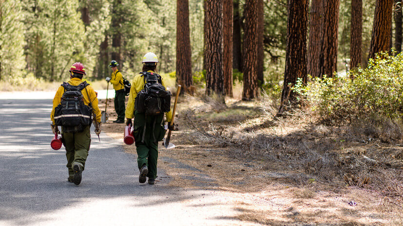
Offline Editing: Take Your Maps into the Field
Wildland fires don’t always happen near cell towers, and operating in disconnected environments is the norm. To prepare for long stretches without connectivity, the NIFC org supports offline copies of NIFS and provides for mobile data collection. Firefighters can collect data using ArcGIS Field Maps. The mobile templates (such as the Incident Web Map template) are configured with NIFS layers and offline areas so that you can keep mapping when you lose signal. Additional templates like Suppression Repair Web Map provide specialized views for nonsuppression activities. Follow the golden rule: Start with the provided templates rather than building your own. They’re designed to work seamlessly with the NIFS and will save you hours of configuration.
FireGuard
It’s time to talk about FireGuard. FireGuard is a US Department of Defense (DoD) program that uses military satellite data and intelligence analysts to map wildfires at 15-minute intervals. This capability represents what I would consider to be the foremost fire mapping tool available to firefighters today. FireGuard fills the same niche as Visible Infrared Imager Radiometer Suite (VIIRS) and Moderate-Resolution Imaging Spectroradiometer (MODIS) but is updated more frequently and is only available through the NIFC org. FireGuard’s resolution is classified, but it far surpasses the 375-meter resolution of VIIRS. We’ll cover VIIRS and MODIS in the next post. FireGuard data accuracy can vary, but it is especially useful during the first 24–48 hours, when there is typically an information vacuum. To access this data, you’ll need membership in the NIFC org or another qualifying system.
Essentially, FireGuard leverages some high-tech capabilities (ones that live in the classified realm) to create unclassified fire intelligence products. For example, FireGuard teams—consisting of Air National Guard analysts—produce fire maps with heat polygons showing active fire areas. They pump out updates as frequently as every 15 minutes when a situation is urgent.
Reread that. If you’re a firefighter, you can access fire-spread data at 15-minute, near real-time intervals. For free.
This is way faster than our traditional infrared flights or satellite hot spots, but it will likely lack the accuracy of traditional aerial mapping flights. These FireGuard products are shared with authorized personnel through secure platforms, often within NIFC’s ArcGIS environment or other interagency portals.
When might you rely on FireGuard? Imagine a scenario where you’re a division/group supervisor charged with protecting around 100 structures. Unfortunately for you, 100 structures are not enough to justify the dedication of a mapping resource during a PL5 event. Yes, this happens, and no, it is not fun. With “UTF” (unable to fill) on your mapping request, you’re facing forecasted high winds and active fire behavior for the next operational period. That’s exactly the situation I found myself in last year as a structure protection group supervisor, and it’s when FireGuard shines.
During the 2021 Marshall Fire in Colorado, high winds prevented crewed flights, and FireGuard provided the only real-time mapping for the first eight hours of the incident. Those observations were crucial in helping emergency managers evacuate 35,000 people, because despite the lack of aircraft, FireGuard’s satellite-derived intel showed where the fire was and allowed agencies to determine where it was headed. It was also one of the few sources for fire perimeter information during the initial days of the 2023 fire in Lahaina, Hawaii.
FireGuard essentially fills the immediate intelligence gap when other assets are slower, down, or unavailable, be it when aerial IR can’t fly or when there are simply too many fires and not enough planes. It complements the standard tools like National Infrared Operations (NIROPS) flights and outshines VIIRS hot spots, giving important intel especially during initial attack and fires that are rapidly escalating.
Beyond NIFS: More Datasets at Your Fingertips
The NIFC org doesn’t operate in a vacuum. It links to other authoritative datasets and applications that round out your wildfire intelligence toolbox:
- NIFC Open Data Site—If you don’t need editing privileges, the public NIFC open data site is your first stop. It hosts fire occurrence points, perimeter data, historical operational data, jurisdictional boundaries, Remote Automatic Weather Stations (RAWs), Potential Operational Delineations (PODs), Geographic Area Coordination Centers (GACCs), federal dispatch areas, predictive service areas, and more. The site even hosts national boundary services and jurisdictional unit services for improved planning, accessible under the Boundaries category on NIFC’s website. Check out the NIFC open data site.
- Enterprise Geospatial Portal (EGP)—If you have a need for data but don’t want a NIFC org account, you can view NIFS layers through EGP’s 2D/3D viewers. This is available to wildland fire cooperators here.
- IMSR Dashboard—For situational awareness, dashboards like the Incident Management Summary Report (IMSR) dashboard provide aggregated information on current fires, resources assigned, and daily incident summaries. The apps in the IMSR dashboard pull directly from NIFC and partner datasets, ensuring that you’re looking at the same information as national coordination centers are using. For firefighters, this interactive and spatial tool provides an intuitive way to explore the IMSR described in the first blog post of this series.
Final Thoughts
Most of what we’ve covered, FireGuard aside, has focused on ground‑based reporting and tools. In our final installment we’re going to take situational awareness higher, literally, by looking at remote sensing and Incident Awareness and Assessment (IAA). These airborne and space‑based assets provide national mapping capability, so stay tuned.
Learn More
To learn more about GIS solutions for wildland fire, visit our solutions page or download our ebook.