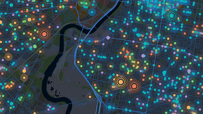
Security teams cannot defend what they cannot see. Modern events, dense urban environments, and complex venues create countless angles, elevations, and hidden approaches that are difficult to evaluate using traditional planning methods. Three-dimensional visibility analysis provides a realistic understanding of how terrain, structures, and temporary installations influence what is visible and what remains concealed. This replaces assumptions with verifiable analysis and strengthens decision-making long before the first officer or attendee arrives.
ArcGIS Pro brings these capabilities together in a single environment, allowing command staff, analysts, and field planners to visualize operational terrain with precision and speed.
Why Visibility Matters
Every security operation relies on clear and accurate visibility. Buildings, canopy lines, infrastructure, and temporary event structures introduce blind zones, obstructed approaches, and elevated vantage points that adversaries may exploit. Commanders must confirm where cameras and personnel can effectively monitor crowds, anomalous behavior, restricted areas, and potential points of compromise. Tactical teams need to understand fields of fire, sight lines, concealment hazards, and overwatch exposure. Intelligence analysts must identify rooftops, balconies, or high windows that create elevated threat positions.
3D visibility tools allow planners to test scenarios, validate assumptions, and design coverage models derived from complex spatial analysis. This supports stronger operational readiness, faster coordination, and earlier threat detection.
Example: Before a championship event, analysts used rooftop viewshed modeling to confirm that temporary sponsor banners obstructed two perimeter cameras. Adjusting those placements eliminated a blind zone in a high-traffic area.
Core Visibility Tools
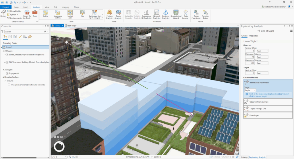
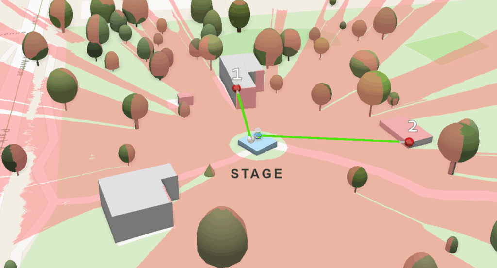
Line of Sight
The Line of Sight tool evaluates the path between an observer and a target and produces a single line that shows exactly where visibility is maintained or obstructed. This confirms whether a rooftop camera, overwatch post, or command position can monitor critical approaches.
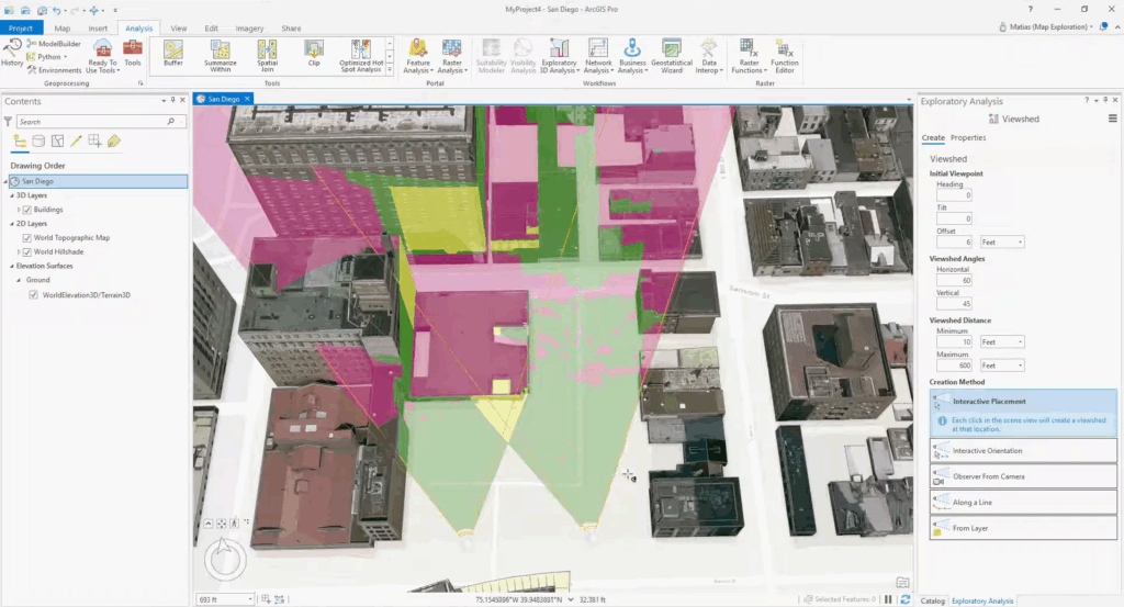
Viewshed
The Viewshed tool generates a visibility polygon that maps all areas visible from an observation point. This helps planners position cameras, sensors, and personnel, and identify and eliminate blind zones before an event.
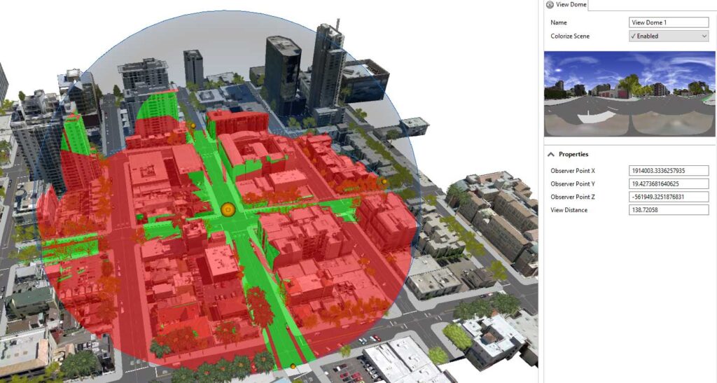
View Dome
The View Dome tool creates a 360-degree visibility shell that looks upward from the target space, highlighting elevated threat positions, such as rooftops, balconies, or windows overlooking the secure area. Reverse viewshed analysis shows which of these locations have unobstructed sight lines into the protected space.
Tactical Optimization
Tactical optimization combines 3D geometry, visibility tools, and operational constraints into a decision model that ranks candidate camera sites, overwatch posts, and observation points based on visibility, access, overlap, and concealment.
Turning Three-Dimensional Data into Operational Action
ArcGIS Pro allows teams to visualize an area of interest in a 3D scene, integrate elevation surfaces or lidar data, and immediately analyze the environment. Planners can simulate visibility from proposed camera or observer locations, compare placement options, evaluate rooftop or street-level fields of view, and test multiple scenarios quickly.
Operational data such as officer/agent locations, crowd density, sensor feeds, and pre-operational plans can be overlaid in the same environment. These steps produce a practical model that improves preparation, coordination, and real-time decision support.
Example: During planning for a major parade, analysts used reverse-viewshed modeling to flag multiple high-rise windows that offered clear, elevated sight lines over the motorcade route. Law enforcement then integrated those locations into their protective detail plan.
Real-World Applications
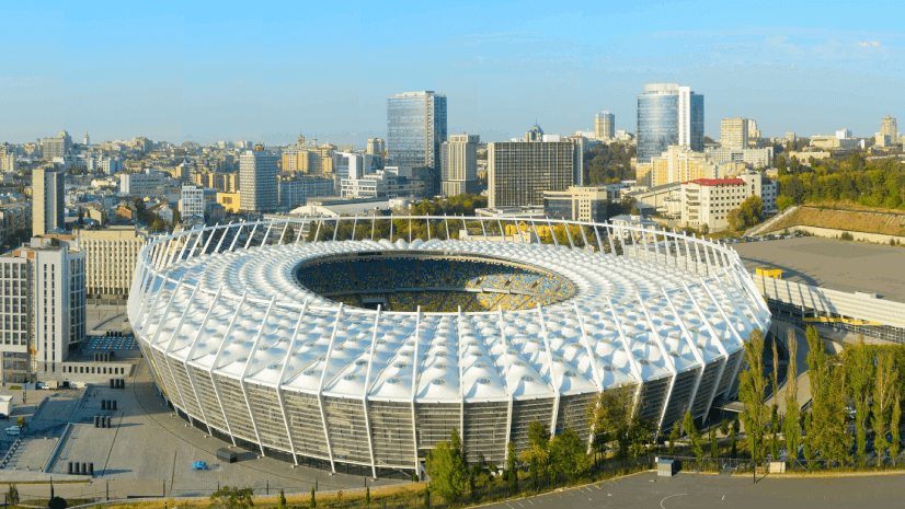
- Stadium and Arena Security: Analysts can evaluate rooftop cameras, perimeter posts, and command center views to reduce blind zones and strengthen coverage.
- Urban Dignitary Routes: For motorcades or parades, planners can evaluate rooftops and high-rise windows that may offer elevated vantage points for threats.
- Public Gatherings and Festivals: 3D models of stages, barricades, and temporary structures reveal how visibility and crowd flow are affected.
- Marathon Routes: Visibility analysis helps planners understand long sight lines, overpasses, parking structures, and elevated positions along extended race routes.
- Border and Perimeter: Visibility modeling highlights terrain-driven blind zones, elevated ridgelines, and concealed approaches that influence patrol strategies and sensor placement. These models can also help identify natural terrain corridors that may enable undetected movement, including footpaths or approach routes that are shielded from traditional line of sight.
Behind the Technology
High-resolution elevation models and lidar-based surfaces allow ArcGIS Pro to replicate real-world environments with accuracy. These datasets, combined with built-in analysis tools, help planners understand how structures and terrain influence visibility and operational risk.
Collaboration and Decision Support
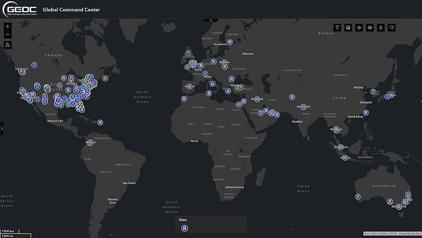
Visibility analysis becomes more effective when merged with real-time situational awareness. Mission applications and dashboards allow commanders to interrelate operational pre-plans, sensor coverage, officer locations, and live feeds in a single 3D scene. This shared picture supports rapid adjustments and highly coordinated decision-making.
Looking Ahead
3D visibility analysis has become a core component of modern security planning. As venues grow more complex and events increase in scale, tools such as Line of Sight, Viewshed, and View Dome, can enable tactical optimization workflows and provide the clarity needed to protect people and critical infrastructure. Agencies that adopt these workflows gain measurable improvements in readiness and response.
Learn More
To explore how 3D visibility analysis can support your operational planning, contact Esri’s public safety team for additional workflows and mission-specific examples.