Most recent
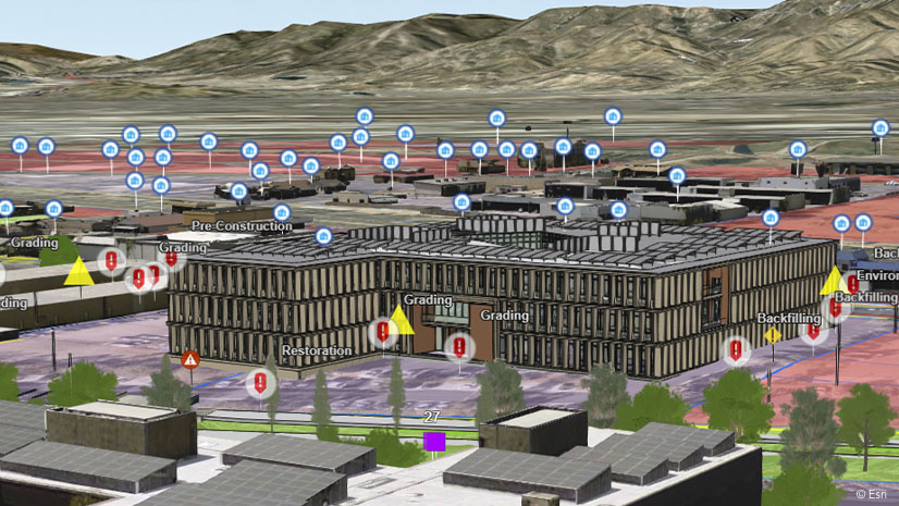
One Company, Two Utilities: Utility Network Assessment
TXNM combined PNM and TNMP GIS's using the ArcGIS Utility Network.
Brooks Shannon|
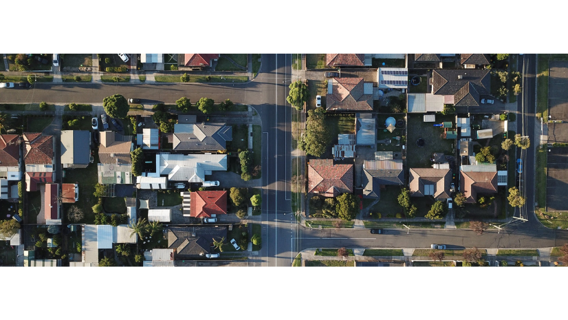
Efficient and Configurable: Supporting NG911 with the Address Data Management Solution
Esri Water|
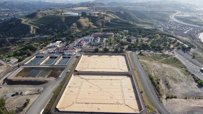
A Unified Approach to Asset Management: Transforming SCV Water’s Management of Linear and Vertical Assets
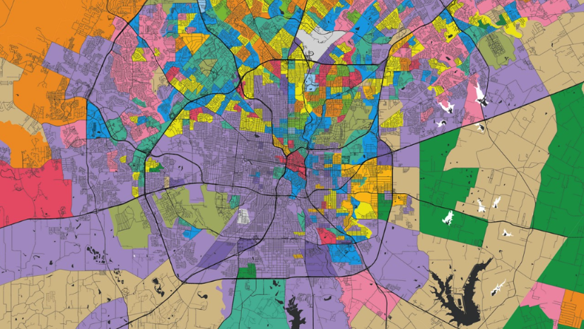
NRF 2025: The Localization and the Return of the Store

When Planning and Economic Development Converge

Esri Water|
From Data to Decision-Making: How GIS Powers Hawaii’s Cesspool Replacement Efforts
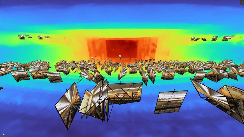
GeoAI, Reality Capture, and the Future of Digital Twins

Mapping Change: GIS Empowers Nonprofits
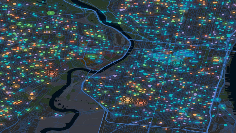
Harnessing the Power of Public-Private Partnerships in Public Health
Multiple Authors|
Taking Flight: Real-Time Aircraft Tracking with ArcGIS Velocity and FlightAware
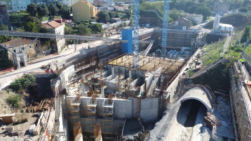
Lisbon’s Drainage Master Plan Is Transforming Flood Resilience with GIS, BIM

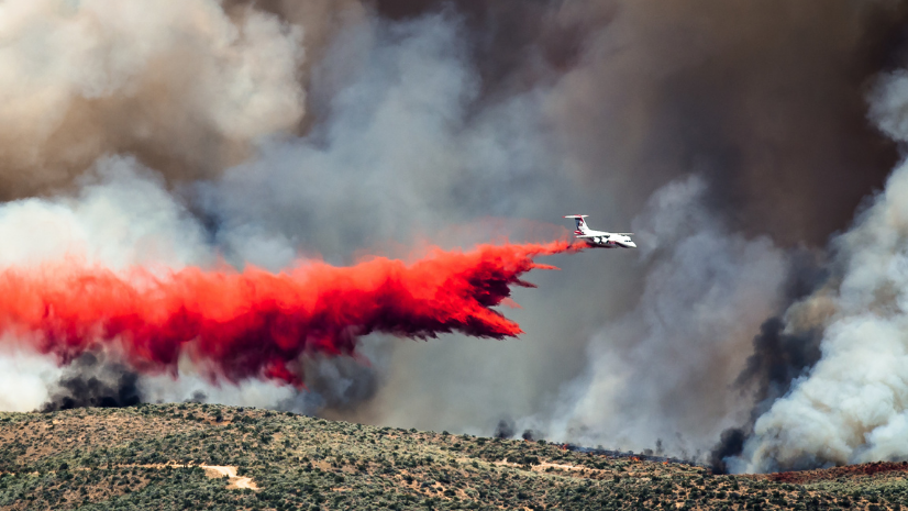
Leveraging Geospatial Artificial Intelligence in Emergency Management