Most recent
One Company, Two Utilities: Utility Network Assessment
TXNM combined PNM and TNMP GIS's using the ArcGIS Utility Network.
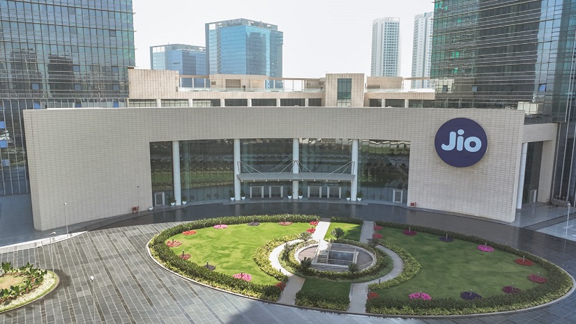
Jio Delivers AirFiber Across India leveraging the Power of GIS

Advancing Public Works With Real-Time GIS
Four Takeaways from the Equity and Social Justice Seminar

Multiple Authors|
Global Events, Local Threats: A Geospatial Approach to Safety and Security
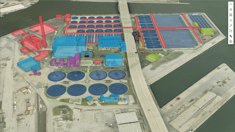
Esri Water|
Scalable and Maintainable Solutions for Vertical Asset Management

Public Works Meets AI: Takeaways from APWA’s First AI Summit

Ricklyn Hukriede|
Tracing Ancestral Footprints: A New Chapter for the Grand Canyon

Meet Kevin Kelley at ICSC Las Vegas

How to Transform Code Compliance with GIS

From Reality to Readiness: A Conversation on Digital Twins, AI, and the Future of Reality Capture

Where Geospatial Gets Real: Highlights from the bSI Summit