
Most recent
One Company, Two Utilities: Utility Network Assessment
TXNM combined PNM and TNMP GIS's using the ArcGIS Utility Network.

Announcing Esri's Equity & Social Justice Seminar Series
Ricklyn Hukriede| April 10, 2025
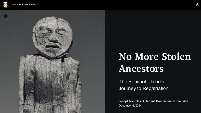
No More Stolen Ancestors: The Seminole Tribe’s Quest for Repatriation
Christa Campbell|
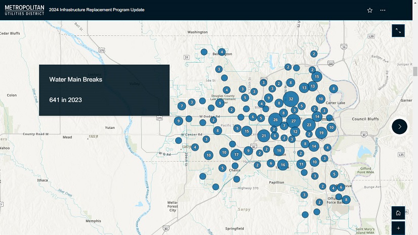
Geospatial Solutions Support Metropolitan Utilities District’s Vision for the Future
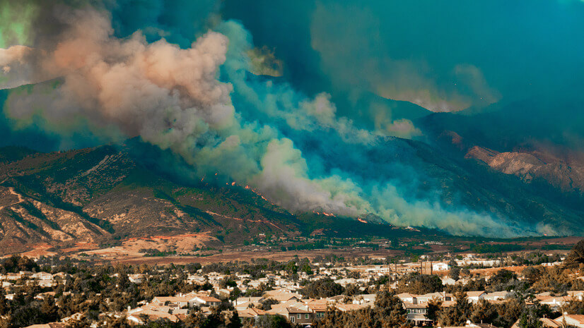
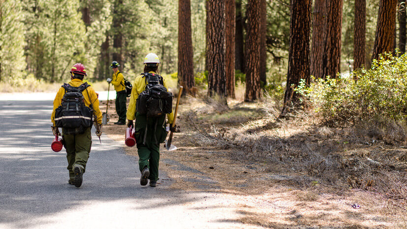
Before It’s Too Late: Making Every Moment Count in Wildfire Preparedness
Lorraine Tighe|
Unveiling Earth’s Mysteries: The Beauty and Promise of SAR and GIS Technology: Part I GIS Helps Demystify SAR

Brooks Shannon|
FCC’s New Rules Propel Next-Generation 911 Forward:What This Means for GIS
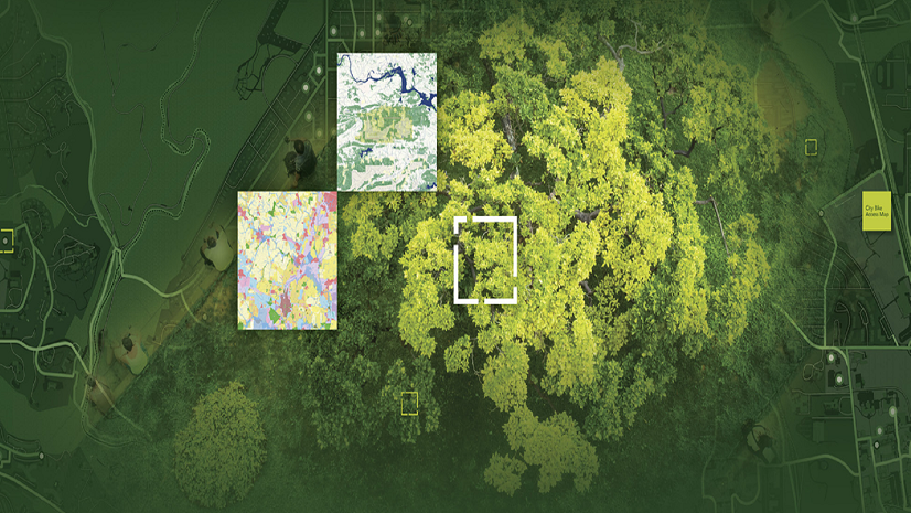
How Two Texas Cities are Blazing a Trail to Smarter Parks Operations with ArcGIS and OpenGov Asset Management
Multiple Authors|
On the Map: Keeping Responders Safe with Real-Time Location Sharing

Esri Water|
Get the Lead Out: CFPUA’s Process from Locating to Replacement of Galvanized Services
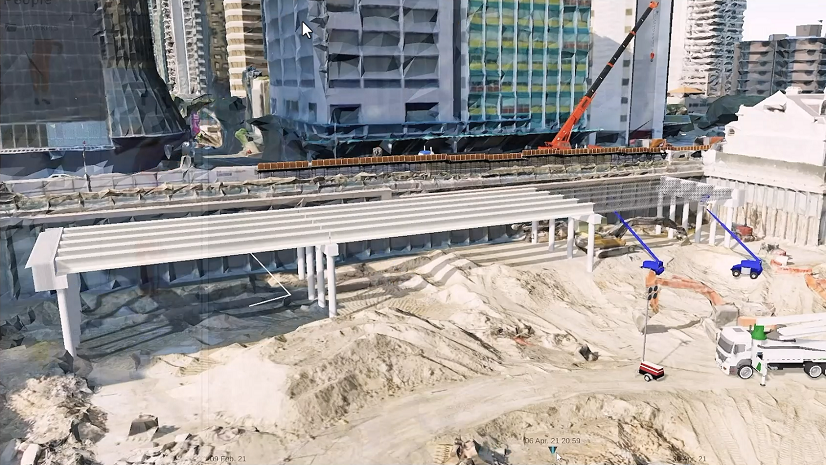
Location Intelligence Digitally Transforming Construction

Geospatial benefits in BIM: Esri’s support for buildingSMART International
Multiple Authors|