
Public Works and Engineering
Next-generation public works and engineering powered by ArcGIS
Next-Generation Public Works is Powered by ArcGIS
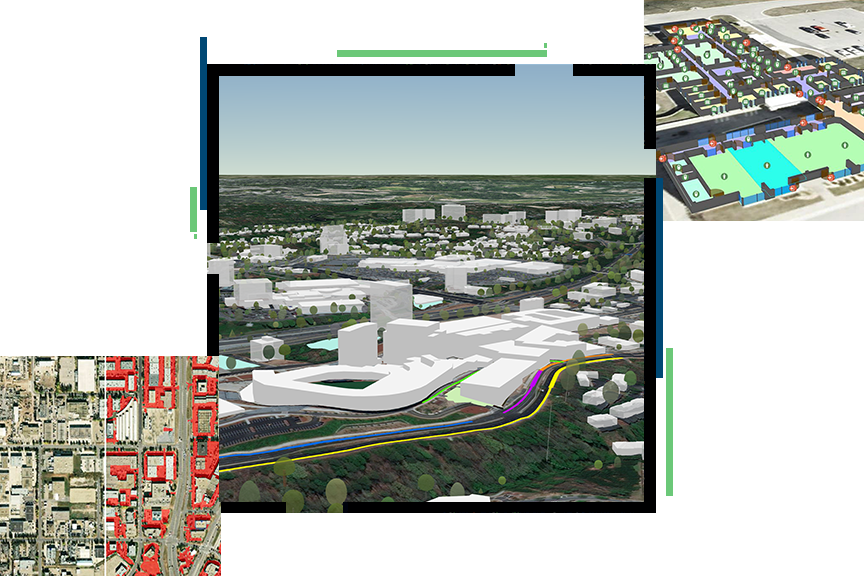
Public works and engineering are location based. ArcGIS turns location data into actionable insight, helping overcome challenges like aging infrastructure, permitting backlogs, and climate change. ArcGIS helps agencies integrate other business systems, AI, drones, real-time sensors, and 3D digital twins to work smarter and build more resilient communities.

Public works focus areas
Previous
Next
Upcoming event
Esri User Conference | July 13–17, 2026 | San Diego Convention Center | San Diego, CA

Our community
Find out how your peers are using Esri technology to achieve their goals.