
Higher Education
Preparing future generations to be global stewards
Enhancing education with GIS
Geographic information system (GIS) technology is key to developing prosperous communities and solving the world's most pressing environmental and social problems. Hundreds of thousands of organizations from a wide range of industries use ArcGIS to make maps, perform analysis, share information, and solve complex problems around the world. Leading colleges and universities prepare students for meaningful careers in GIS and advance our understanding of global systems and societies through GIS education.

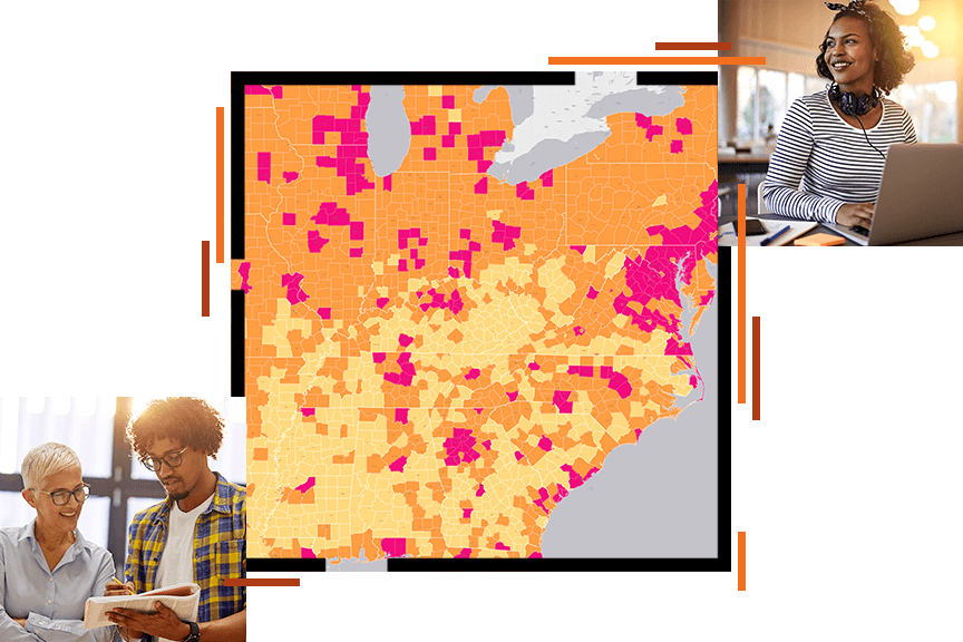
Roles
Discover the value of GIS for these roles.
Previous
Next
Applying The Science of Where
ArcGIS is a complete, cloud-based GIS that provides a framework to identify problems, understand trends, predict change, set priorities, and evaluate results. It integrates layers of information based on location and helps people gain actionable intelligence.

Enhance learning in any field
Maps and data analytics combine to produce insights that deepen understanding of any topic. ArcGIS visualizes data from many sources to reveal patterns and relationships between people and places. These insights improve decision-making in both natural and human systems.
Prepare career-ready graduates
More than 350,000 organizations around the world use ArcGIS to solve complex global problems, and they need skilled graduates to hire. Learning industry-standard ArcGIS positions students for success.
Advance knowledge through scientific research
Modern GIS tools support your work with authoritative data, robust analytical tools, and a framework for collaboration. ArcGIS connects to scientific models and methodologies and interoperates with other data science tools such as Python and R.
Support smart campus operations
ArcGIS helps administrators put resources in the right places to get work done. Smart campus maps integrate with common business systems to give you a holistic view of a campus and help manage operations, from assigning classroom space to maintaining campus safety and security.
Upcoming event
The Esri Education Summit takes place every July, in San Diego, California. Attend this summit to exchange ideas and experiences with peers, meet with Esri education experts, update your curriculum, and advance your professional development with interactive workshops.

Our community
Find out how your peers are using Esri technology to achieve their goals.

Sign up for the Esri education newsletter
Stay up to date on the latest GIS lessons, news, and best practices for teaching with geospatial technology.