Environmental monitoring
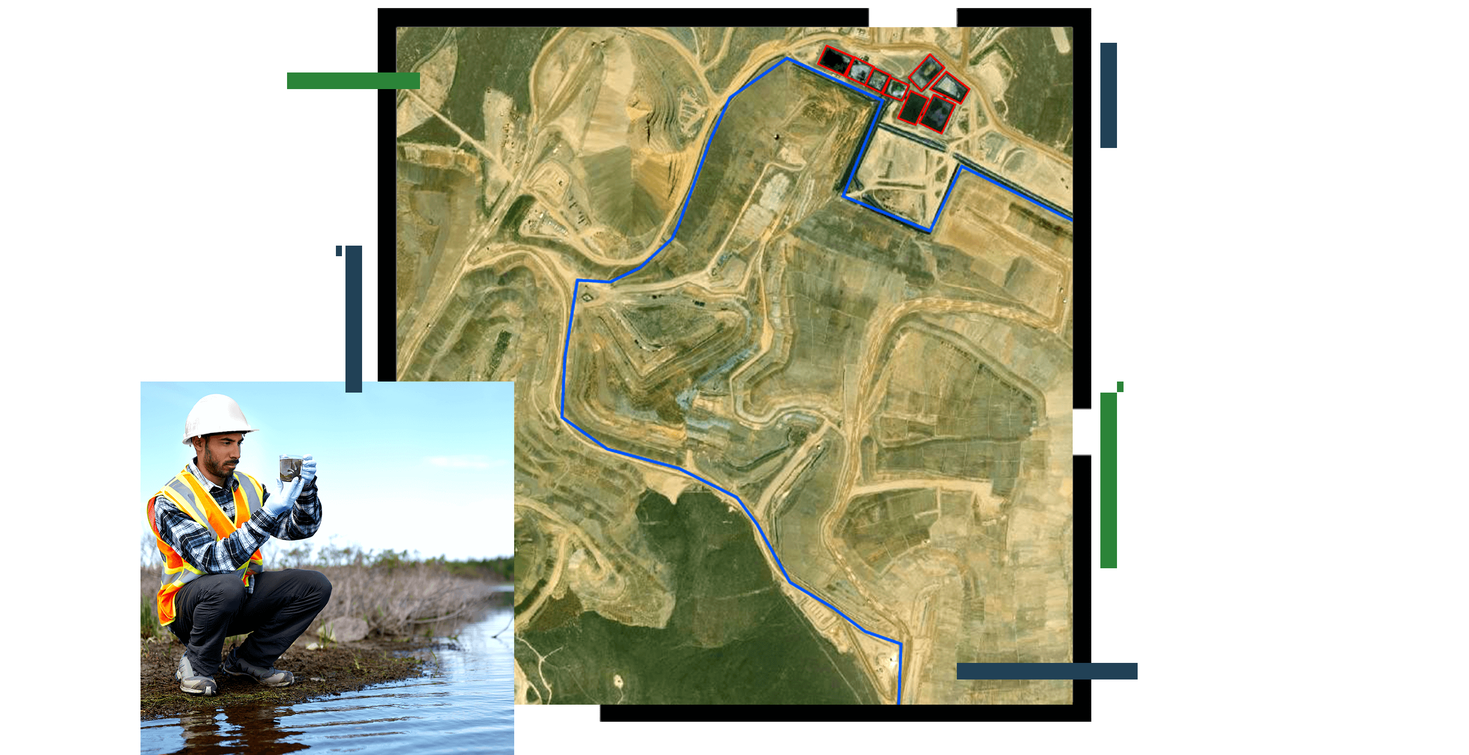
Visualize spatial environmental monitoring data for air quality, groundwater, and more. Explore historical trends in sampling data to identify potential issues while maintaining a comprehensive and reliable system of record to ensure environmental regulatory compliance.


