
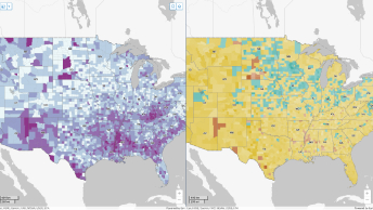
US Census Bureau
2021 Special Achievement in GIS Award winner
Learn how the US Census Bureau created an interactive platform that provides COVID-19 demographic and economic resources for their key users.
Learn how the US Census Bureau modernized its entire census process with GIS.

US Census Bureau
2021 Special Achievement in GIS Award winner

National Institute of Statistics of Rwanda
2021 Special Achievement in GIS Award winner
INSTAT
2021 Special Achievement in GIS Award winner

Statistical Office of the Slovak Republic
2021 Special Achievement in GIS Award winner
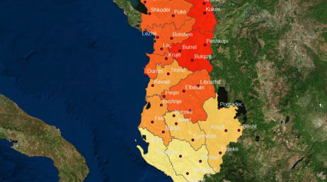
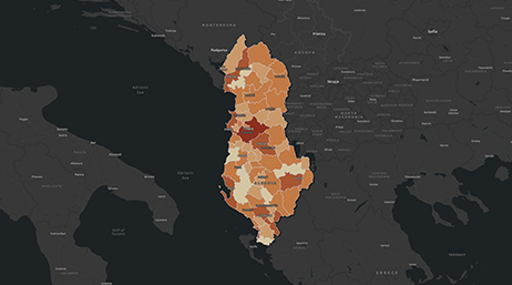
Albania

Canada

Egypt

Ireland

Jordan

Nepal

Philippines

Portugal

After years of war, Iraq counts its people

Nigeria uses digital tools for census preparations

Anguilla uses GIS to plot future with census data

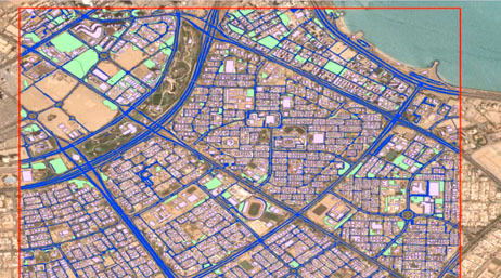
After 50 years, United Arab Emirates maps growth

Climate change prompts first national digital twin

Caribbean GeoPortal builds local GIS capacity
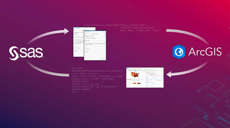
Three things to know about SAS-ArcGIS Bridge
Kuwait's PACI

GIS initiatives: UAE's key statistical data

Deep learning automates Kuwait's map updates

UAE data hub drives sustainability goals
Tunisia automates census work

Machine learning: Part of the fabric of Kuwait

Kuwait empowers its populace with mapping app

How GIS helps monitor cybersecurity threats
A new business intelligence emerges: GeoAI
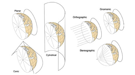
Preserving Cell Size Projection Method
Esri FedGIS 2026: U.S. Census Bureau

UNFPA sponsored session
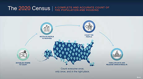
Modernizing the 2020 Census
Esri FedGIS Conference 2020: US Census Bureau

Esri Spotlight: US Census Bureau

Esri User Conference 2019: The 2020 Census

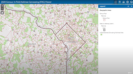
US Census Bureau: Address canvassing

Esri Spotlight: 2020 Census outreach

Making A Difference Award: US Census 2020
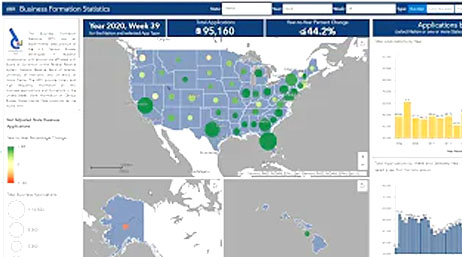
COVID-19 demographic and economic resources
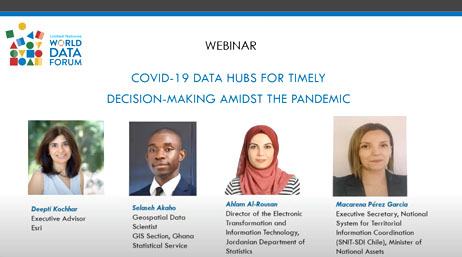
UN World Data Forum—COVID-19

2019 SES at Esri UC: US Census Bureau

How the US Census Bureau is using GIS
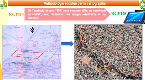
100 Years of Albanian Census
Kuwait Drone Capture Project

GIS for Official Statistics and Census
An ArcGIS census data model
US Census Bureau My Community Explorer
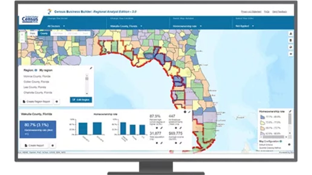
Census Business Builder

Spatial Statistics Resource
Join the geospatial conversation, ask your questions, or browse the forums.

National statistics organizations need to stay up-to-date with the latest national modernization trends, technology, and information. Attend informative webinars or speak to a statistics industry experts at an event.

Instructor-led and self-paced options help individuals apply best practices and quickly learn ArcGIS software. Esri training consultants provide complimentary planning services to identify the options that will best meet an organization's immediate, short-term, and long-term workforce training needs.

Start a conversation online
Speak with a representative.