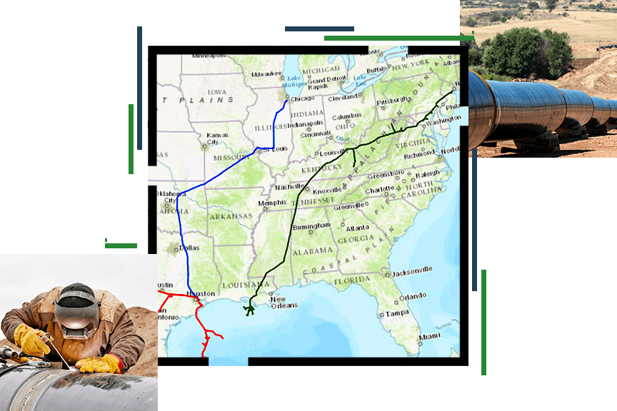
Skip to Content

Pipeline

Supporting gas and hazardous liquid transportation with GIS

A person in protective gear welding a pipeline, a map of the United States showing three pipeline routes, and a pipeline above ground

Pipeline operators face increasing regulatory and business challenges. ArcGIS helps them efficiently and effectively perform essential tasks and workflows needed to succeed in this changing environment using GIS and mapping technology. This ensures that pipeline operators have the spatial capabilities needed to meet today's business objectives and those ahead.

Previous
Next

Upcoming event

Esri User Conference | July 15–19, 2024  | San Diego, California

Get event details
Explore all events
Two attendees signing up for usability research at computers during the Esri User Conference

Training

Instructor-led and self-paced options help individuals apply best practices and quickly learn ArcGIS software. Esri training consultants provide complimentary planning services to identify options that will best meet an organization's immediate, short-term, and long-term workforce training needs.

Explore Esri training options
Start planning
A group of people sitting at a long desk with laptop computers taking individual training courses
community-64

Our community

Explore resources for pipeline professionals and connect with industry experts.

Explore news and resources
A person in protective gear welding a pipeline

Related industries

Geographic data and analytics are often common across industries. Explore how other industries and initiatives are applying Esri technology and mapping to solve complex problems. Leverage their innovation and ideas to help drive new solutions in support of the pipeline industry.

Previous
Next

Contact sales

Contact us

Outside the United States

Connect with the Esri pipeline team