Skip to Content

Planning, Design, and Construction

Infuse location data into pipeline life cycle development stages

A pipeline being lifted into the air by a crane and a map of the pipeline placement

Pipelines grow through new construction and acquisitions. Pipeline engineers need innovative software and powerful spatial capabilities to support pipeline planning, design, and construction. ArcGIS, using maps that integrate different layers of authoritative and public data, is key to holistic pipeline expansion tasks and workflows.

Enhance pipeline development

Route optimization

Intelligently select the best path from the origin to the destination. Consider all factors, including the pipe, its surroundings, the environment, and cost.

A pipeline being placed in a dug ditch

Right-of-way management

By using GIS, pipeline engineers can keep their rights-of-way free from vegetation, structures, and other encroachments. GIS is key to this activity.

A graphic showing a pipeline “right of way” underground

Permitting

Manage data and analyses from multiple data sources to support permit applications required to design, construct, operate, use, or maintain a pipe network within a right-of-way.

A green sign that reads “Wetland Boundary” in front of a pipeline

Construction support

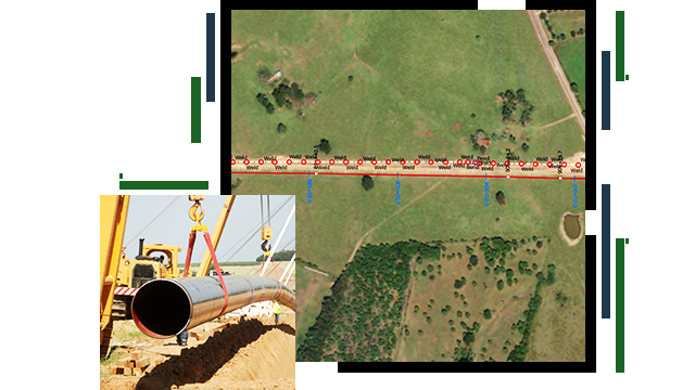
Support pipeline construction data management with process steps like clearing and grading and right-of-way restoration. Digital as-builts on mainstream mobile devices keep everyone in the field up-to-date as progress is achieved.

A green sign that reads “Wetland Boundary” in front of a pipeline

ArcUser

GIS enhances construction surveying

GIS software enables pile location data to be tracked, measured, and mapped in construction surveying of a multidisciplinary engineering firm.

Read the article

Products for planning, design & construction

Previous
Next

Contact sales

Contact us

Outside the United States

Connect with the Esri pipeline team