Skip to Content

Operations

Operate pipelines safely and reliably to deliver the energy we need

A field worker in a hard hat and safety jacket holding a tablet, and a map with two green location dots on a route

Operating a pipeline safely and reliably requires a large workforce collaboratively performing many tasks and workflows every day, all day long. This work occurs in the field and in the office. Wherever they might be, all staff must work together. This is the case in both planned and unplanned operations. GIS is a hallmark of high-performing pipelines.

Use location data to improve pipeline operations

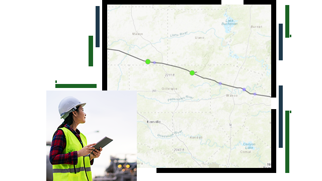
Inspections and maintenance

Planned and unplanned inspections and maintenance are among a pipeline mobile worker's most common tasks and workflows. On the ground, in the air, and in-line, pipeline operator staff and resources are continually checking, patrolling, and assessing the condition of the pipeline and whether it is operating as it should be. Findings from the field, once saved to ArcGIS, are immediately available to all staff.

Two pipeline operators walking in a field inspecting a pipeline

Emergency management

Pipeline operators have a strong track record of safe operations. But on rare occasions, an incident may occur that demands immediate response. GIS is essential to all four elements of the emergency management plan pipeline operators rely on in these cases: risk mitigation, readiness, response, and recovery. Using GIS to integrate data from multiple data sources into one map is essential. Informative integrated maps in dashboards provide a comprehensive and engaging view of the data needed for at-a-glance decision-making and activity planning.

A meeting room filled with people sitting at a table working on laptops and large television screens on the wall displaying maps

Real-time GIS

While some pipeline assets are at a fixed location, pipelines are not static assets. Changes are always occurring, sometimes rapidly. Real-time data from sensors, devices, and feeds enable pipeline staff to better address common user workflows that rely on access to the latest information to advance operational excellence. With real-time GIS, maps and databases are continuously updated, trends are observed as they form, and the workforce is alerted the moment activity or performance reaches a critical threshold.

A person holding a tablet displaying a map with an orange, blue, and green highlighted area

Cleaning pig planning and tracking

Pipeline operators routinely run pigs through their pipe network to keep the pipes' interior clean and free of anything that might affect flow capabilities or other performance issues. ArcGIS tracks the location of launchers and receivers. This makes it ideal to support cleaning pig planning and tracking.

The inside of a pipeline open for routine cleaning

Routing and logistics

Managing how resources are sourced, stored, and moved from one location to another is key to pipeline operations. Location is key to each step in the process. ArcGIS enables pipeliners to get themselves and the resources they need from one location to another quickly. This is essential to optimizing pipeline operations and responsiveness.

Pipeline construction in recently compacted and prepared dirt

Video

Iron Horse Midstream increases efficiency with GIS

The natural gas pipeline company uses ArcGIS to simplify data collection in the field, resulting in a growth in operational efficiency.

Products for operations

Previous
Next

Contact sales

Contact us

Outside the United States

Connect with the Esri pipeline team