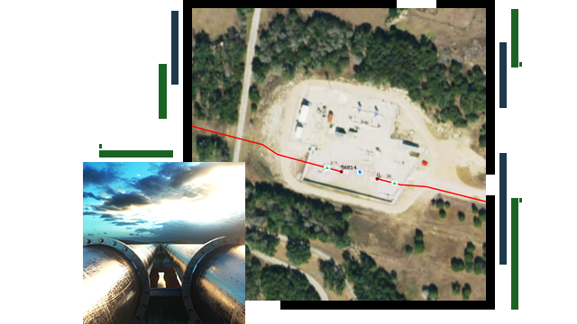
Skip to Content

Asset Management

Use GIS to better manage pipeline assets throughout their life cycle

Two pipelines side by side under a beautiful skyline and a drone image of a pipeline construction site with two red lines indicating where the pipelines were laid

ArcGIS enables full life cycle pipeline asset management. Apply geography to the collection, organization, and analysis of asset data to optimize the lifetime value of assets through improved decision-making and activity management. ArcGIS provides a single source of truth to all staff throughout the pipeline life cycle.

Improve enterprise asset management

Create digital twin

The ability to create and maintain a digital twin of the in-ground pipe network and its surroundings is essential to pipe asset management. A single representation also enables users to work with that digital twin just as they do with the real network. ArcGIS is an ideal system to integrate digital twins from all sources into one.

Digital twin of an in-ground pipe valve

Maintain assets in GIS

Once pipes and related components in the trench are covered, a digital twin becomes a pipeline's primary authoritative record of assets in the ground. Users frequently ask, how detailed should the definition of a gas network in ArcGIS be? Generally, the level of detail should be sufficient to support the full range of software applications that rely upon it. Most pipeline operators store their pipe network and GIS data in ArcGIS in Esri's Utility and Pipeline Data Model (UPDM) or PODS, most recently using PODS 7 or higher.

A graphic of pipeline assets maintained in GIS upstream, midstream, and downstream

Maintain links to other systems

ArcGIS is developed in a web services architecture. This modern technology facilitates linking ArcGIS with other enterprise and departmental systems. ArcGIS provides strong security capabilities to keep data safe.

A person sitting at a desk typing on a desktop computer

WEBINAR

A new era in pipe network data management

Combining ArcGIS Pipeline Referencing and ArcGIS Utility Network tools unlocks added possibilities for managing pipelines.

Products for asset management

Previous
Next

Contact sales

Contact us

Outside the United States

Connect with the Esri pipeline team