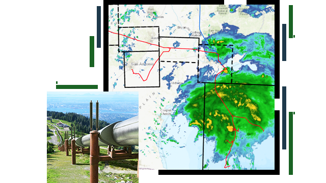
Employee tracking and hazard notification
Sensors are integrated into vehicles and devices used by mobile crews as they perform inspections and maintenance tasks. This allows the location of employees to be continually known and visualized in real time on dashboards. If an employee is in a hazardous area, an alert can be triggered to the employee's location-aware device to provide timely information of needed caution or importance.


