Expand the value of GIS
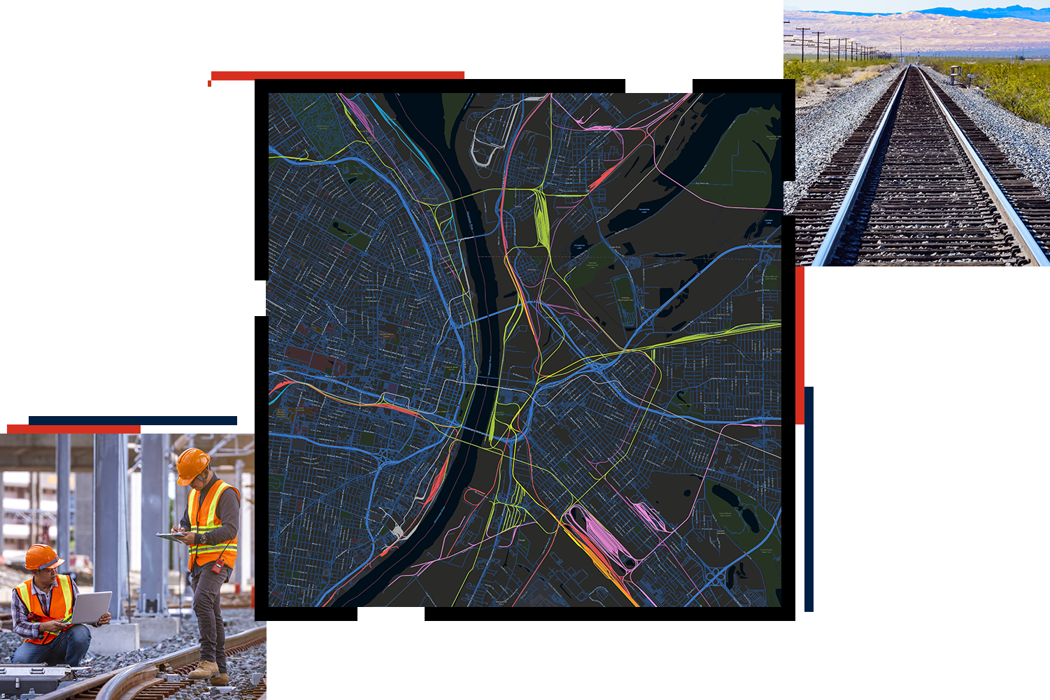
Our latest GIS for rail ebook will walk you through the benefits of implementing GIS to
- Leverage data for analysis.
- Address challenges in employee and public safety, rail operations, commercial growth, and environmental sustainability.
- Effectively utilize positive train control (PTC) data.

Rail business areas
Previous
Next
UPCOMING EVENT
North American GIS Rail Summit
November 4-5, 2025 | Omaha, Nebraska
This two-day event at Union Pacific Railroad Company headquarters in Omaha, Nebraska, brings together rail’s brightest professionals and thought leaders. Learn how to maximize an existing investment in GIS to drive efficiency and innovation. Discover new technical and process advancements; learn from Esri product experts; and connect with fellow railroaders, GIS professionals, and business partners.

Our rail community
Find resources such as blogs, upcoming webinars, events, and trainings created for rail professionals.


