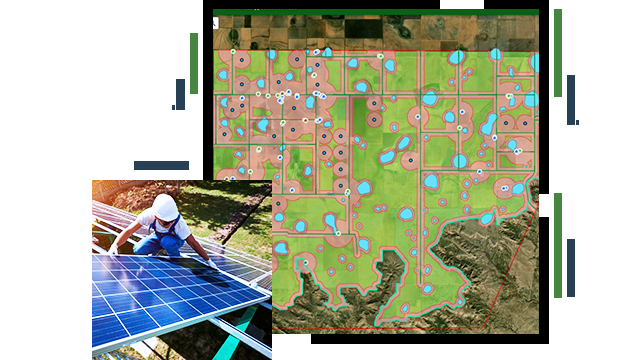
Skip to Content

Construction and Development

Develop detailed project site layouts

A land map with grass, dirt, and water areas indicated, and a solar worker installing solar panels

Manage and monitor multiple renewable energy construction projects as they progress including the status of land acquisition. Create powerful 3D visualizations that convey details on project design, infrastructure, and environmental considerations. From site selection of wind farms and solar panels to digital visualization, advance renewable energy development with a geospatial approach.

Get in-depth project site insights

Land acquisition

Identify the best parcels to acquire and monitor leasing and land acquisition activity. ArcGIS provides a common store to access your land data at the project, region, and corporate levels. Leverage web and map services to allow direct use and analysis in the office or the field and provide for sharing across the enterprise.

A desktop computer displaying a land acquisition map and status dashboard

Site layout and design

Develop detailed project site layouts with powerful visualization and modeling tools. Leverage online topographic and image layers from ArcGIS Online to get a head start on project layouts. Analyze detailed terrain features to make design planning efficient and cost-effective. Communicate your plans with 3D web visualizations with ease. 

A computer desktop computer displaying a site layout and design map

Renewable energy development infrastructure

Leverage interactive spatial analysis tools to identify the best layout for roads and electrical infrastructure. Ensure that your site plan is designed with current infrastructure in mind and that new construction can serve for the life of the project. Communicate these detailed plans with construction partners via shared web services.

A computer desktop computer displaying a shadow analysis on a digital twin wind farm

Construction monitoring

Remotely monitor progress to ensure that your project stays on schedule and under budget. Manage and monitor the construction project status in real time from the office or with the convenience of your mobile device. Visualize your project as it comes to life as a digital twin that can be communicated with ease.

A view from the top of a wind turbine down to the ground of the construction site below

ArcNews

Location analytics in solar and wind energy

Aegean Energy Group uses ArcGIS Insights to streamline field data collection and identify obstacles to development.

Read the article

Products for construction and development

Previous
Next

Contact sales

Connect with the Esri renewables team