Transit Safety and Security

Ensure transit safety for customers and workers with location-powered security solutions.

Two transit workers in hard hats and safety vests discuss information on a whiteboard in a train facility and dark map with transit routes marked in bright colors

Safer, more secure transit operations

By embedding GIS-derived location intelligence into public transportation safety and security operations, transit agencies can better protect riders and staff, ensure security, and meet incident reporting requirements with confidence. Shift from reactive response to proactive risk mitigation that builds resilience, coordination, and rider trust.

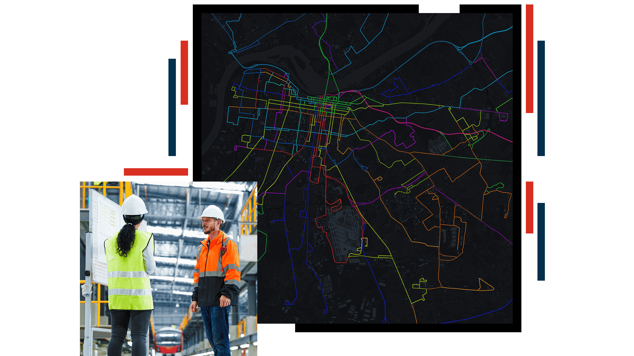
Get a single, live view of operations

ArcGIS brings incident locations, live operational data, and partner alerts into a single system and lets leaders see what is happening across vehicles, stations, stops, facilities, and right‑of‑way.

Use this information to make faster, more informed decisions during both planned and unplanned events–whether managing transit for large-scale public events, responding to transit security incidents, or coordinating emergency operations.

Side view of a person driving a bus

Proactively identify safety risks

Identify stations, routes, or times of day with higher passenger safety risks by spatially analyzing historical incident data in ArcGIS. This supports proactive measures like increased staffing, lighting improvements, or schedule adjustments.

Reduce exposure to hazards and support safer inspections, repairs, and maintenance activities by knowing exact asset locations and conditions. Transit security solutions in ArcGIS allow mobile transit workers to report issues, hazards, or incidents directly from the field.

An ArcGIS Dashboards interface displaying a map surrounded by metrics about transit issues

Securely share vital safety information

ArcGIS transit security solutions help transit agencies securely share real-time, location-based information with law enforcement and public safety partners. Using dashboards and maps, agencies can create a shared operational overview for all partners.

This helps align incidents, assets, and alerts to improve coordination, support clearer decisions, and respond more effectively during emergencies.

An ArcGIS Dashboards interface displaying a map of Chicago transit lines surrounded by system safety metrics

Accelerate compliance reporting with an authoritative system of record

ArcGIS streamlines federally mandated transit reporting by organizing safety, service, asset, and equity data around location—the common thread across reporting requirements.

With ArcGIS serving as a single system of record for routes, vehicles, facilities, and incidents, agencies can reuse trusted data across reports, reduce manual effort, and improve accuracy. The result is faster compliance, a lower administrative burden, and greater confidence in meeting federal deadlines and funding requirements.

A crowded stairway leading to a train platform in a large station

CASE STUDY

How CapMetro manages 35,000 operations per day

Central Texas’s transit authority automated data integration and developed systems for vehicle tracking, planning workflows, and incident response.

Read the case study

Products for transit safety and security

Use transit security solutions to understand travel patterns, identify service gaps, and support data‑driven transit plans that move communities forward.

Previous
Next

Contact Sales

Please share your information and our sales team will contact you soon. We look forward to communicating with you.