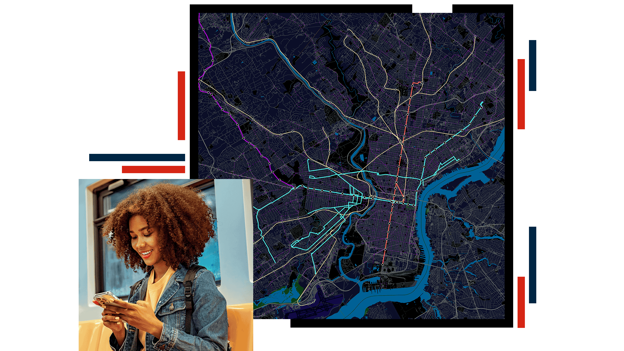
Identify impacts on riders with maps and dashboards
Use ArcGIS to map maintenance work, safety improvements, special events, or temporary disruptions alongside real‑time service conditions.
Sync this information with specific routes and locations using maps and dashboards in ArcGIS, highlighting alternative routes or services so customers understand what’s changing and can adjust their trips with confidence.


