
Agriculture
Intelligently managed agriculture
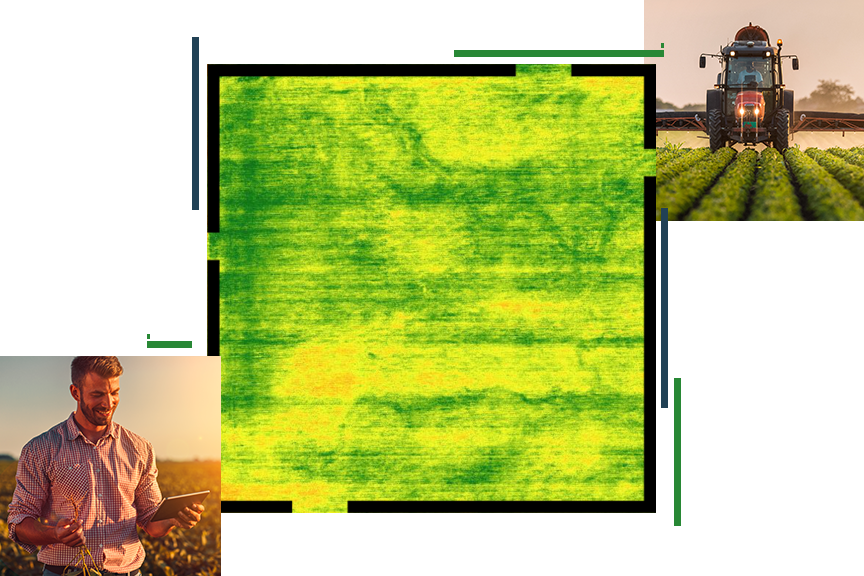
Develop a holistic approach to precision farming
- Create maps and dashboards that integrate important variables such as soils, irrigation, yield, production costs, profit, and compliance data.
- Add maps, imagery, field data collections, and real-time sensor feeds into interactive apps.
- Deploy on premises and/or in the cloud with modern architectures and SaaS/DaaS/IaaS infrastructures.
Agriculture segments
Previous
Next
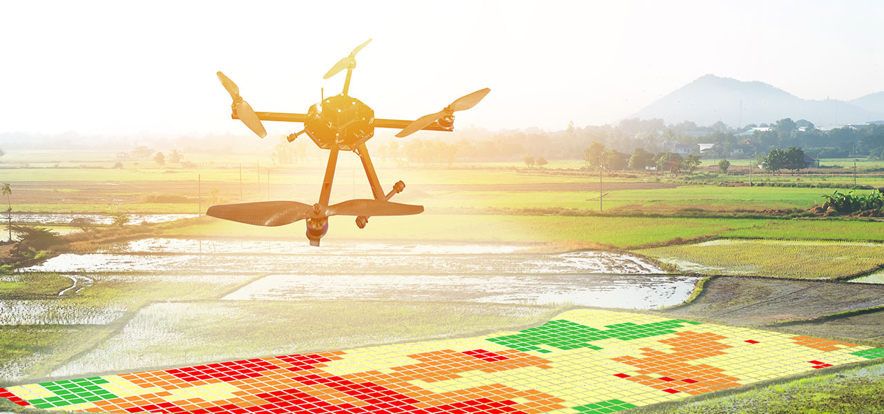
A system of engagement for precision agriculture
Use maps and spatial data analysis to visualize, understand, plan, and act when coordinating detailed and complex farm management programs. Optimize workflows and mitigate risk while improving regenerative practices and ensuring social equity.

Visualize
Bring data to life with maps, apps, and analytics that support your organization's digital transformation journey.
Understand and share
Provide easy access to essential information in useful apps. Uncover spatial patterns and analyze options for improvement.
Plan
Energize the planning process to improve operational workflows while mitigating risk for enhanced business performance.
Act
Have confidence in the agile decisions that you make and thrive as an organization with location at the center of operations.
Upcoming event
Esri User Conference | July 14–18, 2025 | San Diego Convention Center | San Diego, California

Our community
Find out how your peers are using Esri technology to achieve their goals.
