
Wine receives care management guided by smart maps
The use of GIS for viticulture management at Symington’s port vineyards has led to significant improvements in crop management and wine quality.
Explore resources for agriculture, connect with industry experts, and expand your network
Discover how bp bioenergy has used GIS technology to streamline operations, enhance efficiency, and reduce costs in Brazil's sugarcane industry, ultimately positioning the company for sustainable growth.
Wine receives care management guided by smart maps
Using a data-driven approach to restore habitats

USDA uses GIS to stay ahead of the cattle tick
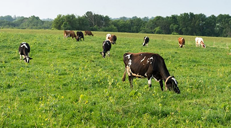
Organic co-op uses custom maps to guide grazing

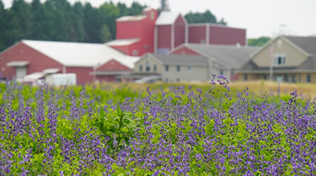
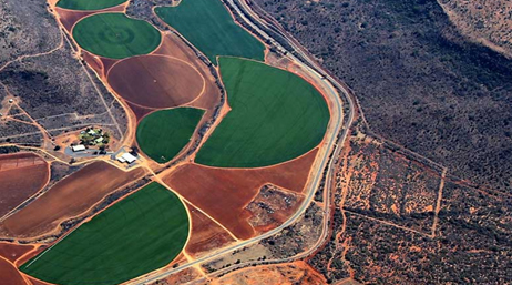
Startup helps vineyard refine irrigation
Adding Up Food’s Hidden Costs

Overcoming the gap between IT and business users
Indigo Ag pursues innovation
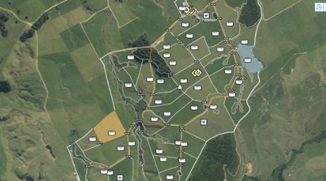
Miraka uses ArcGIS to enable environmental plans

Florida maps support farmers during COVID-19

Map-based apps fight food insecurity
The technology behind a revolution

Solving the national seed packet mystery
The connected farm is smarter than you think

How data-driven John Deere wins the market
Land O'Lakes uses GIS to manage assets

Tracking a minor ingredient with a big impact
Apps help agricultural producers digest info

Tracing each oyster from tide to table
Join the geospatial conversation, ask questions, or browse the forums.

Esri User Conference | July 14–18, 2025 | San Diego Convention Center | San Diego, California

Instructor-led and self-paced options help individuals apply best practices and quickly learn ArcGIS software. Esri training consultants provide complimentary planning services to identify options that will best meet an organization's immediate, short-term, and long-term workforce training needs.
