ArcGIS overview
Learn about Esri’s comprehensive geospatial platform


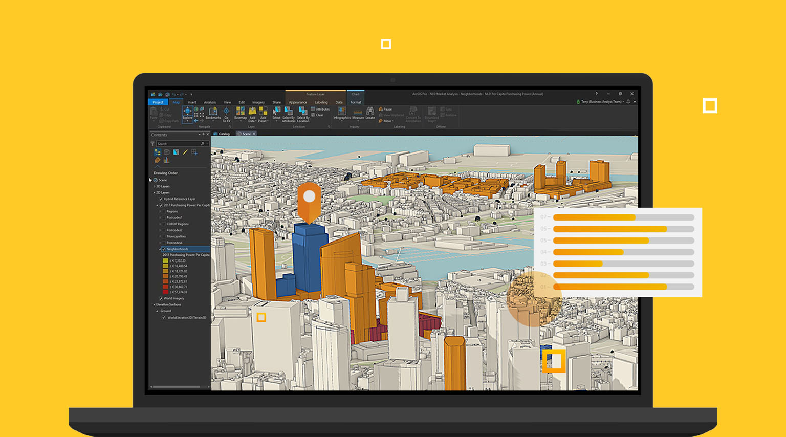
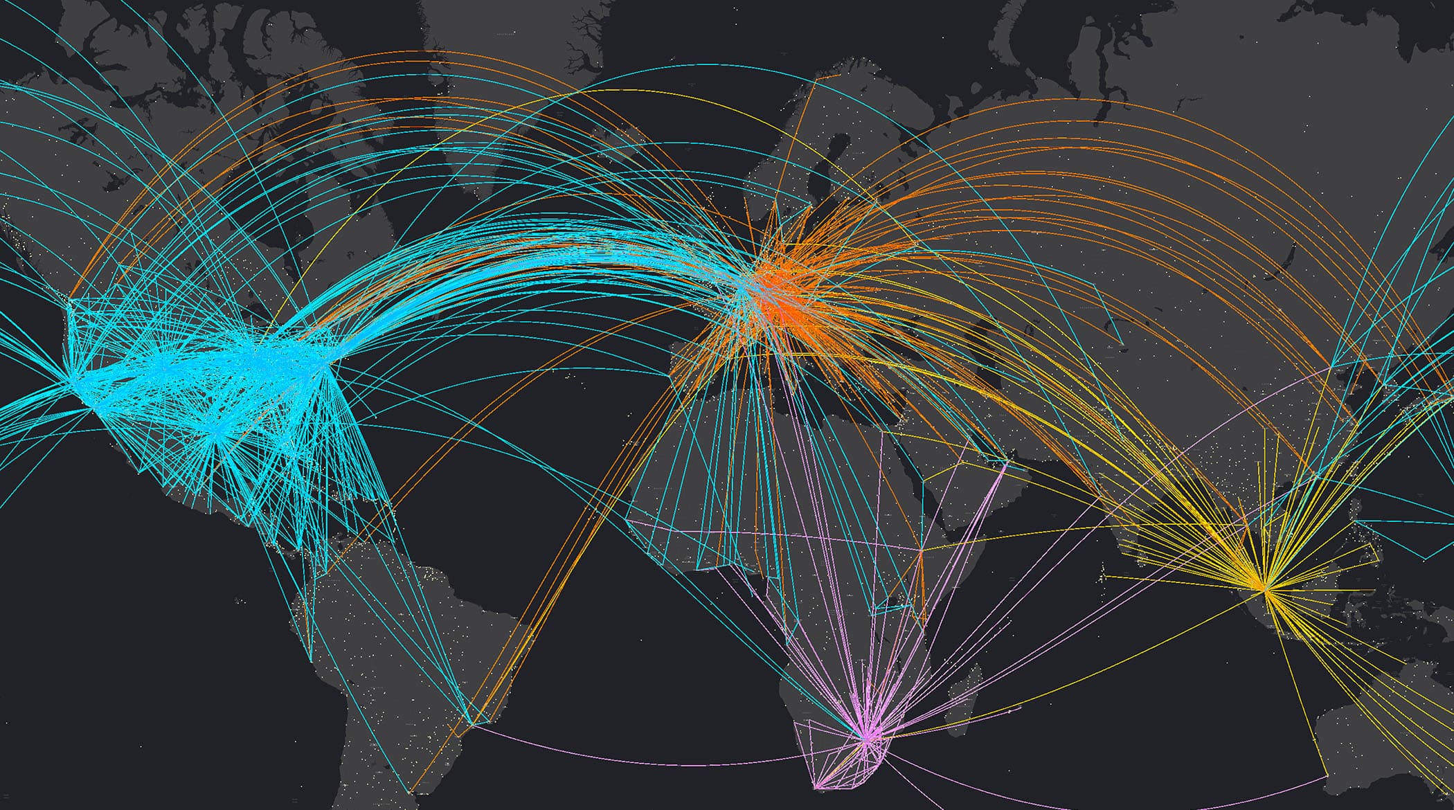
ArcGIS is enterprise technology that integrates and connects data through the context of geography.
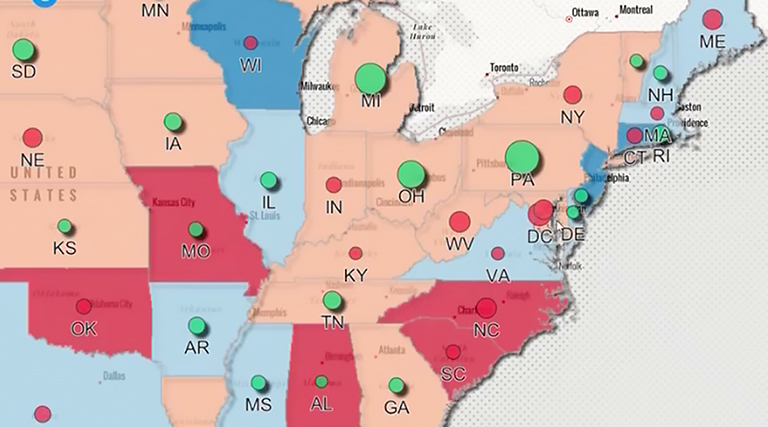
Leading organizations in virtually every field use Esri technology to support daily operations and guide long-term strategies. Explore stories of organizations innovating with ArcGIS.
Government
Cartographers in Cantabria, Spain, use AI-powered geospatial software and computer vision to protect the natural landscape. From predicting crowded beaches to tracking invasive species and monitoring forest recovery, their approach combines automation, open data, and digital twins to build a resilient future.

Agriculture
Managing 9,000 acres across California, Trinchero Family Estates uses mapping tools to farm with intention. GIS software guides crop estimates, pest scouting, and harvest logistics—helping the nation’s fourth-largest winery deliver boutique-level quality and precision at massive scale.

Infrastructure
JXN Water turned Jackson, Mississippi’s failing water network into a modern, data-driven utility using geospatial software, smart sensors, and a digital twin. Real-time monitoring and mobile mapping tools cut citywide boil water notices by 98 percent and restored reliable service.
")
Product releases, upcoming events, partnerships, and more from Esri