Metro de Medellín Builds an Intelligent Asset System with ArcGIS Enterprise
Colombia’s second-largest mass transit system has saved millions of dollars by using advanced GIS to manage its real estate.
Colombia’s second-largest mass transit system has saved millions of dollars by using advanced GIS to manage its real estate.
Using ArcGIS Knowledge, the GeoCommunities initiative maps shared research questions and educational activities.
As technology at Jefferson County evolved, the GIS team used this opportunity to rebuild relationships with partners and stakeholders.
The technology is open, interoperable, and secure—and ensures that teams can access the content and tools they need, when they need them.
Find out which data management strategy is best depending on how often data gets updated, where it originates, and other key factors.
Omaha, Nebraska’s Metropolitan Utilities District now has a precise data model of its assets and operations with full network connectivity.
With more insight into the system, employees can proactively address technical problems and effectively deliver critical GIS services.
NatureServe’s Explorer Pro web app, built with ArcGIS Enterprise, ensures that species data is comparable from one jurisdiction to the next.
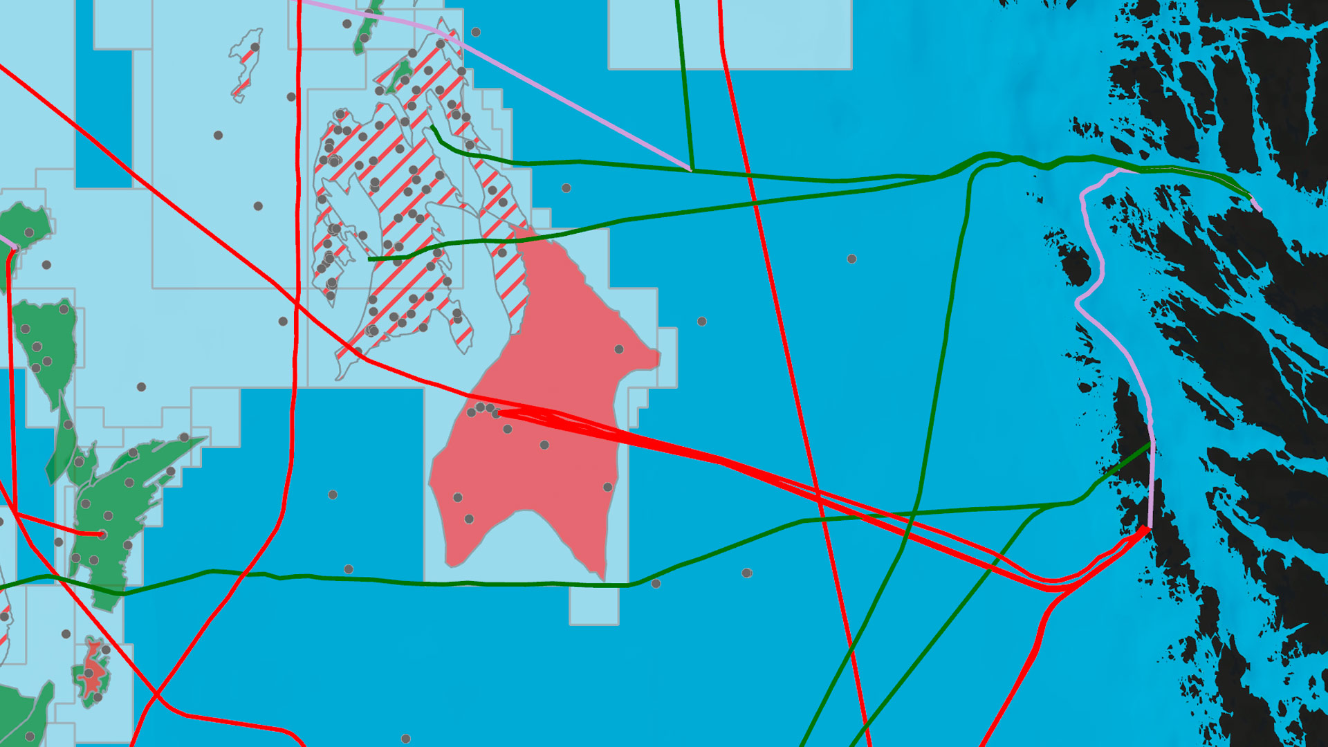
At Swiss National Park, an enterprise-wide GIS aids with operations, infrastructure planning, flora and fauna monitoring, and more.
Administrators can now refresh the maps, layers, scenes, and apps available from ArcGIS Living Atlas of the World within ArcGIS Enterprise.
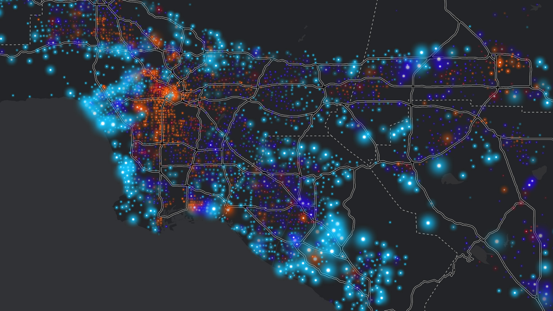
Following a catastrophic wildfire, a California town turned to GIS to rebuild and improve its stormwater system.
New functions at Esri’s online store enable users to get a quote before making a purchase and have an assisted digital shopping experience.