Rich, Location-Infused Business Data Informs Sound Strategies
Data from Esri partner Data Axle has more than 14 million verified business records with valuable information, such as sales volume counts.
Data from Esri partner Data Axle has more than 14 million verified business records with valuable information, such as sales volume counts.
Now, humanitarian workers can use the same authoritative data in the same geodatabase to collaborate during critical, fast-moving events.
A longtime member of Open Geospatial Consortium (OGC), Ryden was recognized for his exemplary contributions to open data standards.
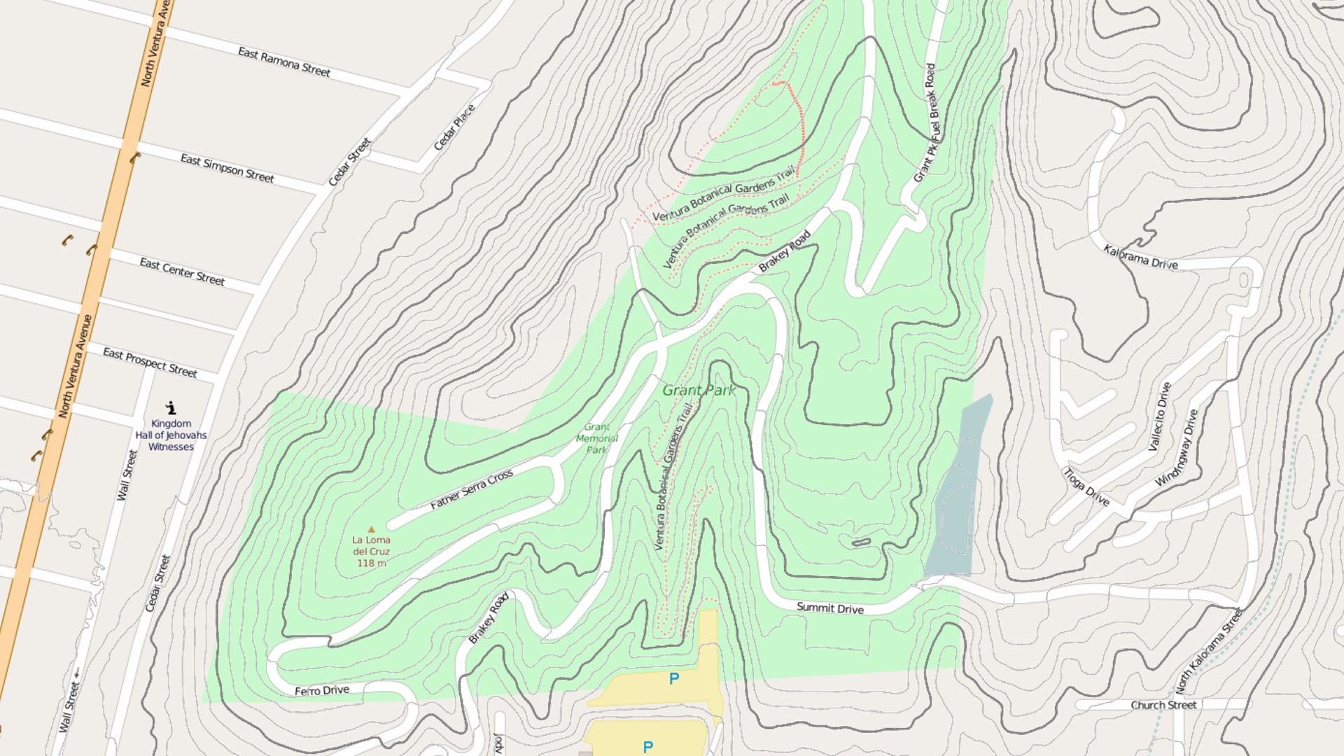
Esri partners HDR and ReportAll teamed up to give civil engineers access to authoritative geographic data in Autodesk Civil 3D.
Esri’s Map Africa initiative has two new key partners, and there’s a new e-commerce experience in the Esri Store for demographic data.
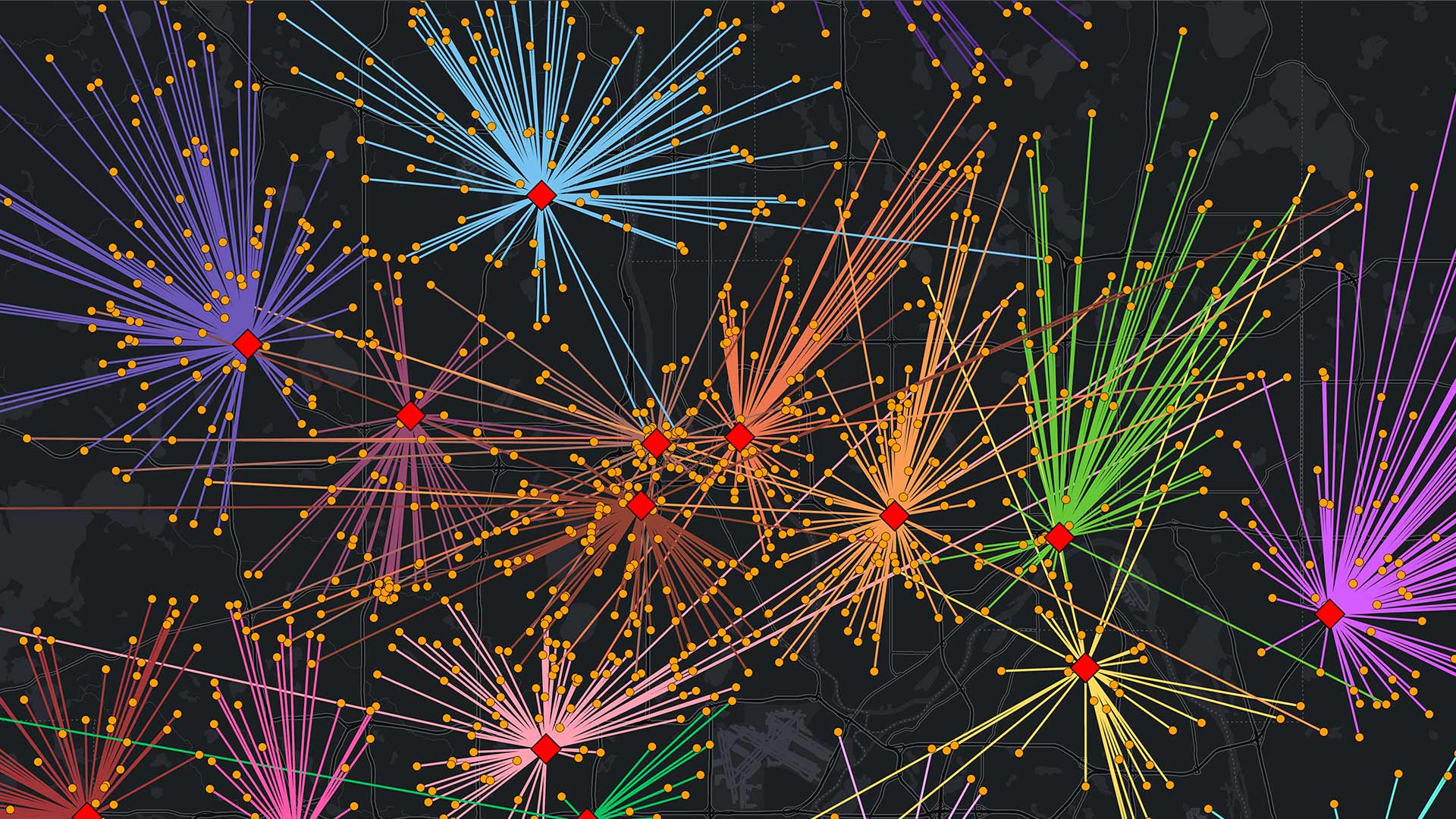
Find out which data management strategy is best depending on how often data gets updated, where it originates, and other key factors.
The strengthened Freedom of Information Act was the basis of the open data movement and, in many ways, impacted GIS data sharing.
ArcGIS for Microsoft brings ArcGIS capabilities and data into the Microsoft environment. A new integration enhances data analysis at scale.
By implementing ArcGIS Data Pipelines, KBC Advisors has saved time, enhanced efficiency, and improved data delivery.
Esri has secured the FedRAMP Moderate authorization for ArcGIS Online, certifying that the SaaS product meets stringent security standards.
To maximize data’s potential, it must be kept current. Users can add it to ArcGIS Online directly from the source, via extensions, and more.
Easier, faster, better—that’s the promise of Esri’s new focused app for data editing, ArcGIS Web Editor.