GIS for Good: Esri’s Commitment to People, Planet, Prosperity, and Peace
This collection of programs and resources supports organizations that seek to create a more sustainable future.
This collection of programs and resources supports organizations that seek to create a more sustainable future.
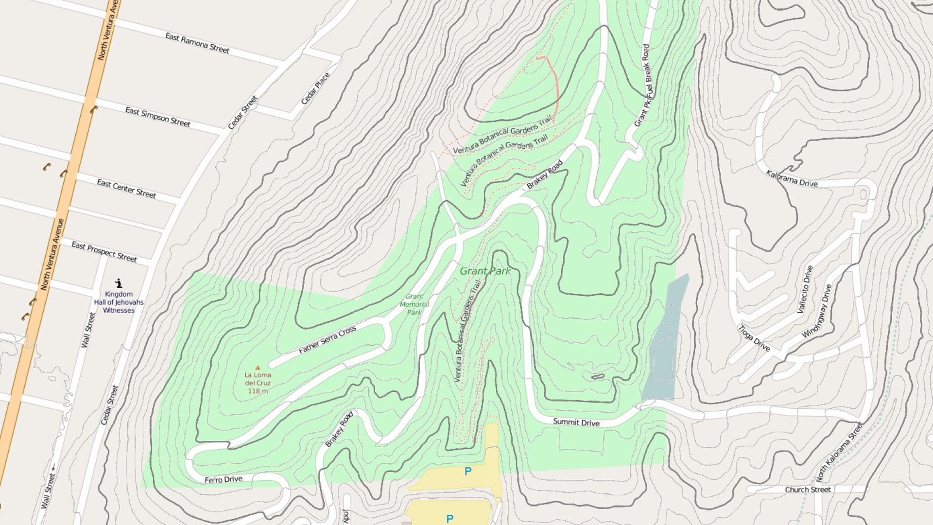
Learn to work with imagery and remote sensing data, and get primed on how to read and understand maps.
Explore working with imagery and lidar data, take a MOOC on building geospatial apps, and find out about a new certification for developers.
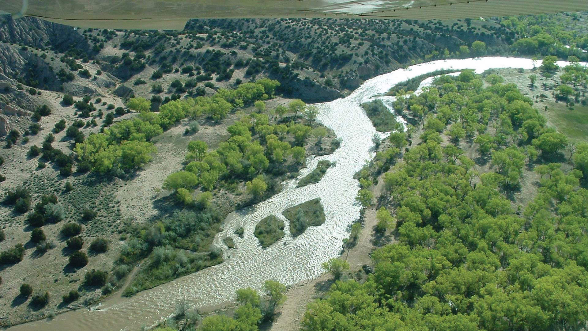
After migrating to ArcGIS Pro, the Albuquerque Bernalillo County Water Utility Authority used its own data to train staff on the new system.
Find out about AI in GIS, geospatial workflows for security operations, how to work with imagery and remote sensing data, and more.
A longtime member of Open Geospatial Consortium (OGC), Ryden was recognized for his exemplary contributions to open data standards.
Learn how to streamline GIS content management, take Esri’s GIS for Climate Action MOOC, and sign up to support new certification exams.
Esri’s Young Professionals Network celebrates a decade of empowering early-career GIS professionals.
Each year, hundreds of people around the world use ArcGIS to collect data and support demining activities, so technology training is key.
Learn about ArcGIS Enterprise, artificial intelligence in GIS, workflows for security operations, and more.
Gain skills in using GIS for advanced analytics, find out how to leverage ArcGIS tools in Microsoft products, and take a MOOC!
See how maps tell rich stories, explore how to make maps for people with visual impairments, learn how to use Python in ArcGIS, and more.