From Big Cats to Big Data
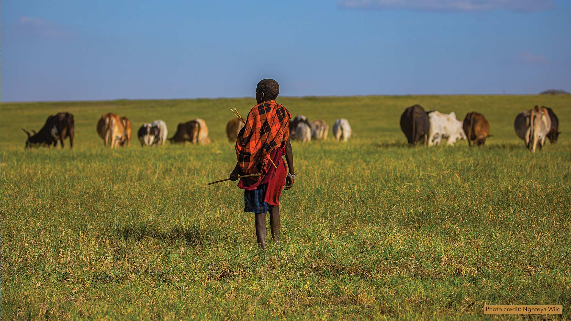
African People & Wildlife works with Maasai pastoralists in Tanzania to use GIS to document phenomena and share their knowledge of the land.
African People & Wildlife works with Maasai pastoralists in Tanzania to use GIS to document phenomena and share their knowledge of the land.
Each year, hundreds of people around the world use ArcGIS to collect data and support demining activities, so technology training is key.
Develop a personal kanban—a productivity method that shows, visually, work that’s not started, work that’s underway, and work that’s done.
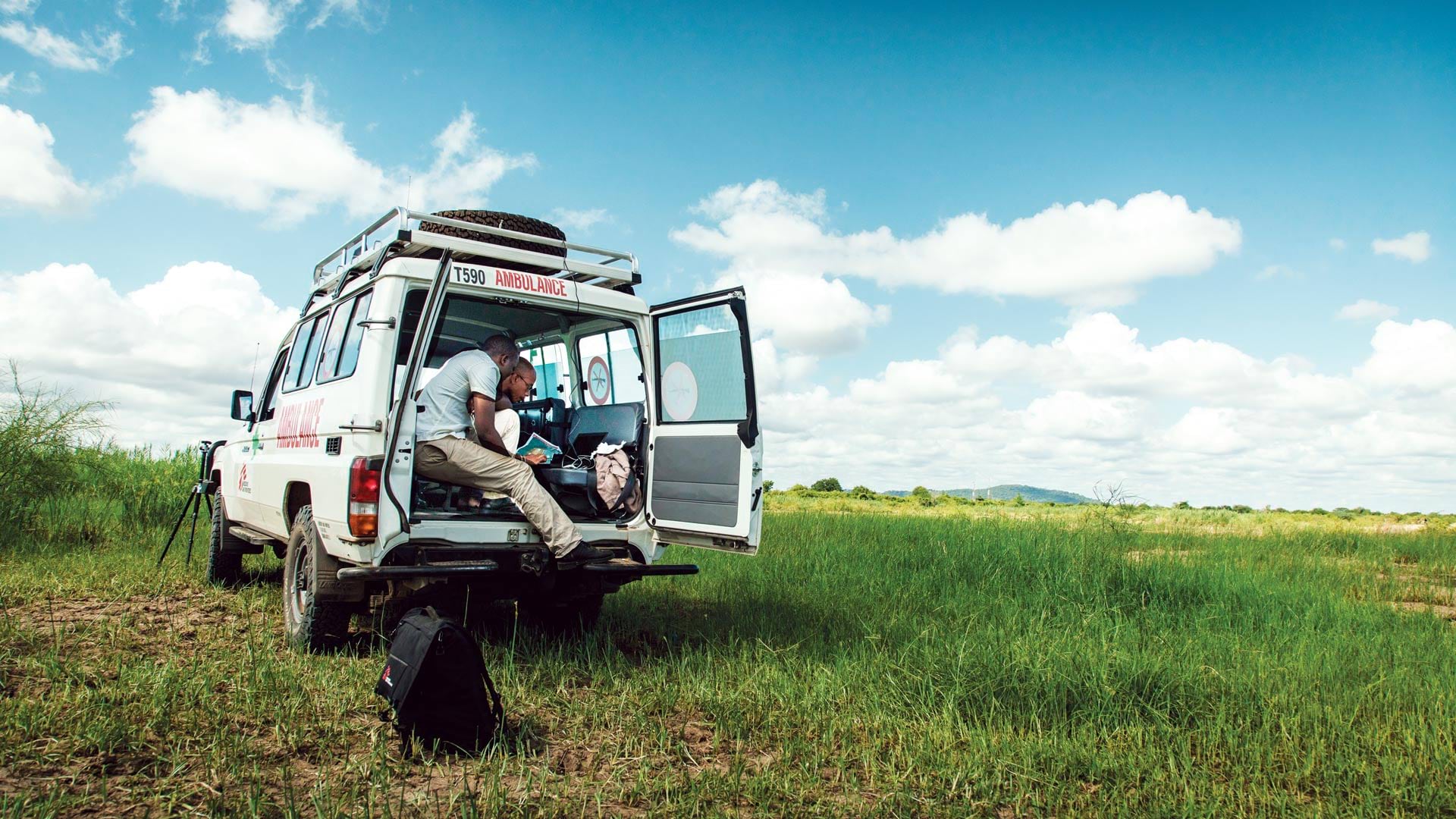
With the organization’s people and operations dotting the globe, ArcGIS deployed across the enterprise is key for knowledge management.
To better serve the global geospatial community, the organization is broadening its mission.
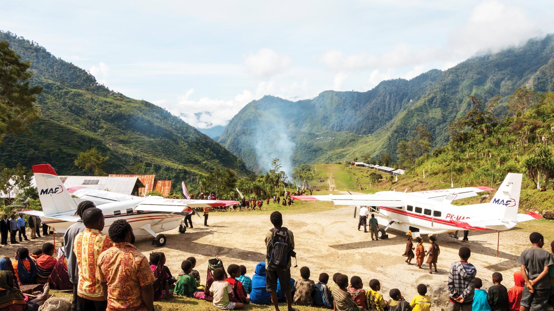
Mission Aviation Foundation’s recent adoption of GIS has enhanced its ability to protect its missionaries and pilots in remote places.
Using ArcGIS Pro and ArcGIS Online, Food Rescue Hero developed a new way to provide fresh food to tens of thousands of people in Pittsburgh.
The organization offers a safe place for people of all genders and from all geospatial fields to work together to overcome common barriers.
A new grant from Esri gives nonprofit organizations free geospatial software, and find out how to celebrate GIS Day!
With the conflict in Syria now in its sixth year, more than 659,000 Syrians have fled to neighboring Jordan to seek refuge as of May 2017...
By 2020, it will be feasible to find GIS data for any park or other protected area in the United States.
Esri and the Association of American Geographers work together to develop a GeoMentoring network to support the ConnectED Initiative.