Esri Releases Data Appliance 7.0 for ArcGIS
Get secure access to global basemaps and reference layers in the new version of Data Appliance for ArcGIS.
Get secure access to global basemaps and reference layers in the new version of Data Appliance for ArcGIS.
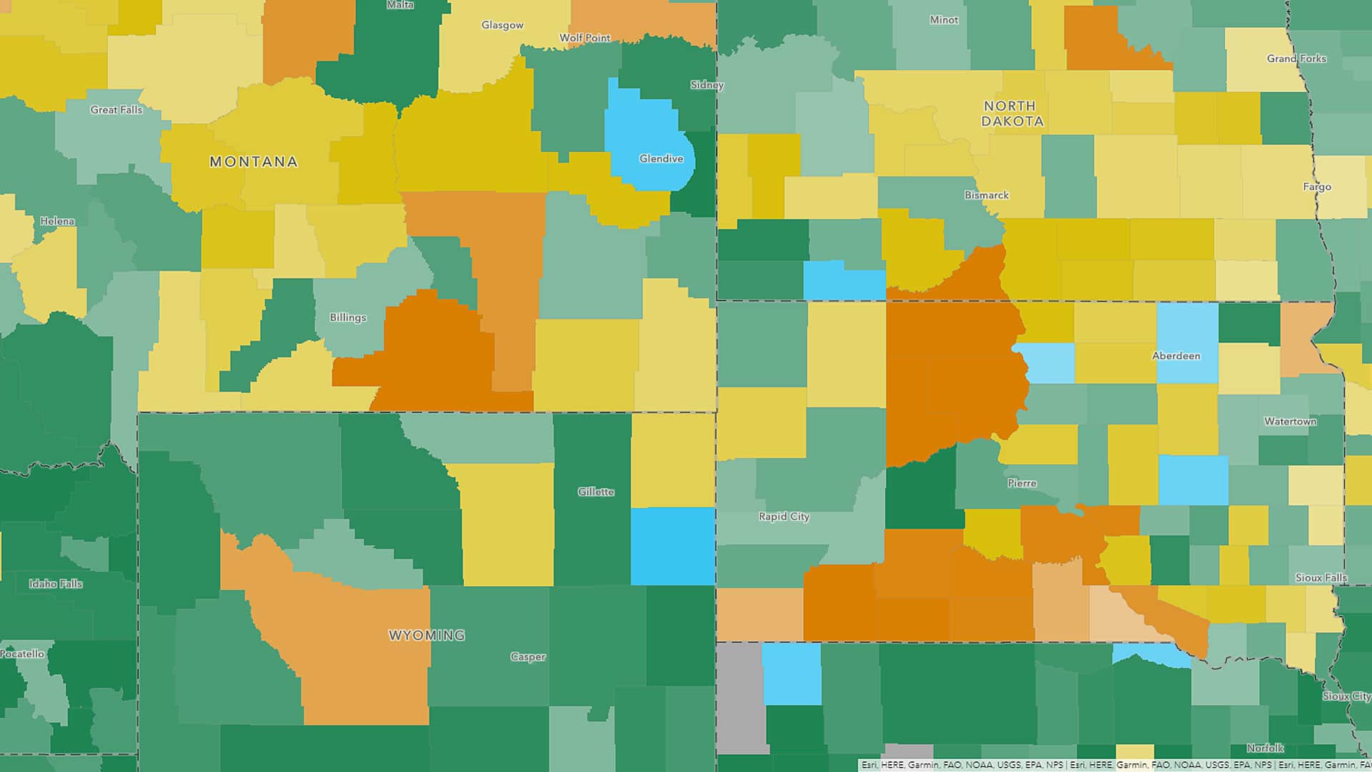
Maps and data from the most up-to-date American Community Survey (ACS) five-year estimates are now available in ArcGIS Living Atlas of the World.
Esri product engineer Owen Evans offers tips on how to effectively use groups in ArcGIS Online to collaborate on and share mapping projects.
From Aitoff to Winkel Tripel, here are 68 map projections that you can use in your maps created using Esri ArcGIS 10.7.1 or ArcGIS Pro 2.4.
The basemap gallery in ArcGIS Online offers nine great basemap choices including the World Topographic Map and the Light Gray Canvas Map.
The Boy Scouts of America (BSA) are embracing geospatial technology in a big way at Summit Bechtel Reserve (The Summit) in West Virginia.
Learn how to refresh dynamic layers in your ArcGIS web map using a new capability called the refresh interval property.
Joshua Perry, an intrepid Cub Scout and budding GIS user, created a web map to track his popcorn and pretzel sales orders...
Thousands of Boy Scouts also used the mobile ArcGIS app on their smartphones to navigate the sprawling, 10,600-acre site and locate...
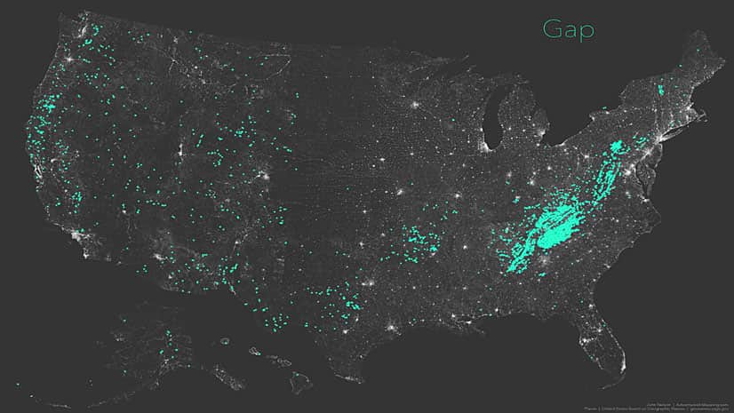
When is a pass a gap? And when is a gap a saddle or a notch? Esri cartographer John Nelson investigates using maps.
Thrive Regional Partnership is using geodesign technology and methodology to plan smartly and sustainably.