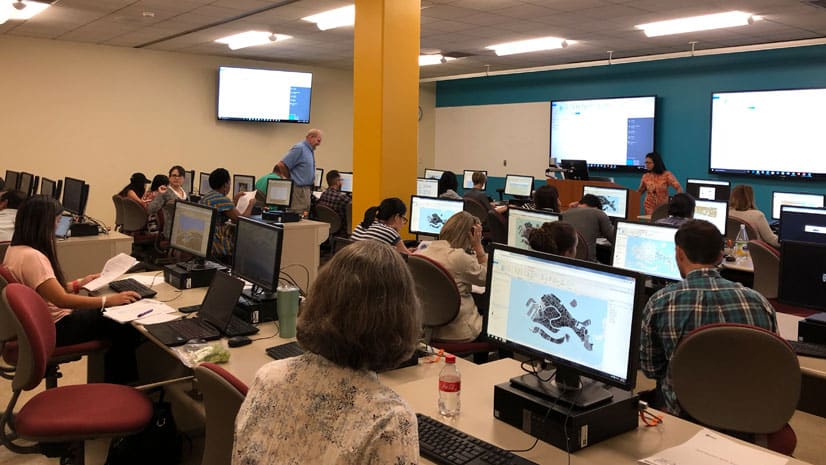
Where Deep Learning Meets GIS
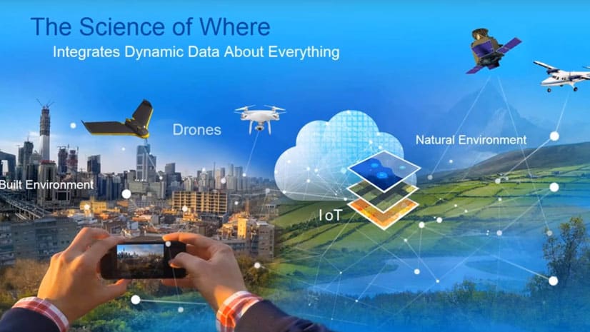
Artificial intelligence (AI) and GIS are intersecting, opening up massive opportunities that were never possible in the past.
Artificial intelligence (AI) and GIS are intersecting, opening up massive opportunities that were never possible in the past.
Esri has built the framework for a rivers and streams map that makes real-time stream and river gauge information accessible to ArcGIS Online...
Presentations at the Geodesign Summit demonstrated the reach of geodesign into new domains such as urban economic policy and seaport management.
Find out how utilities use location technology, artificial intelligence, and machine learning to keep information flowing, and manage assets.
The Esri Imagery Summit will cover advances in remote sensing and how artificial intelligence and machine learning is being used with imagery.
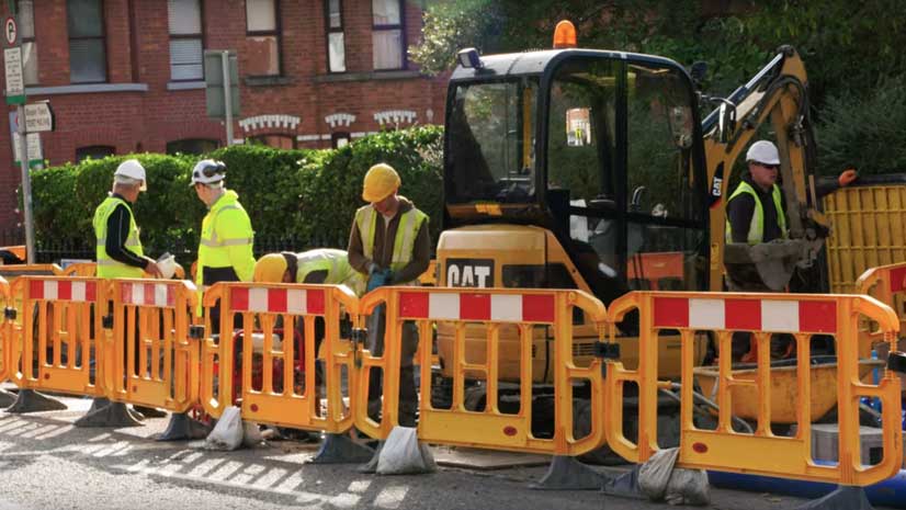
Irish Water is using GIS to complete a project to repair or replace leaking water pipes in Ireland.
The Park Trails mobile app, developed with AppStudio for ArcGIS, helps visitors navigate trails in nine Allegheny County, Pennsylvania, parks.
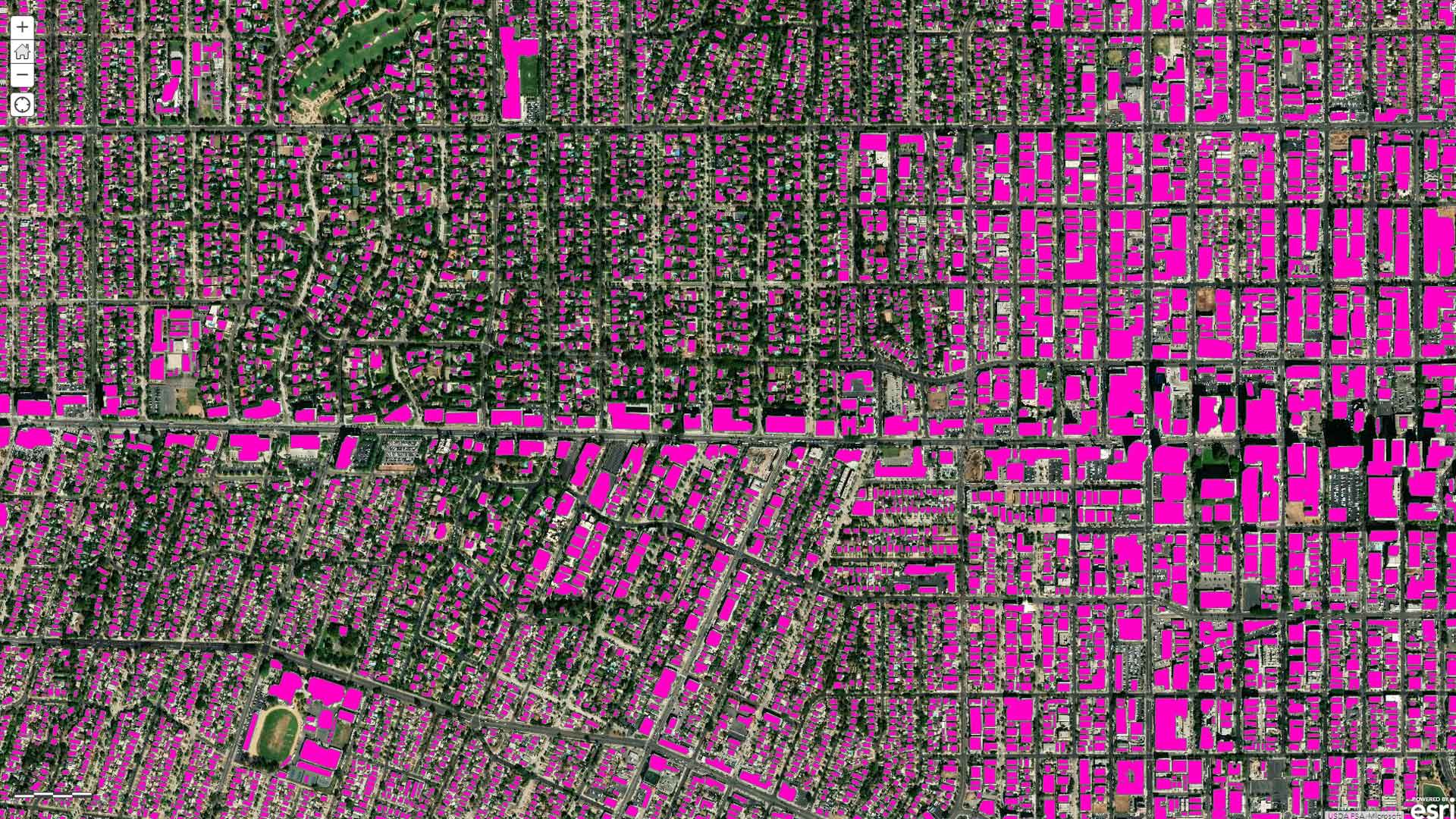
A webinar hosted by Esri covers how to use ArcGIS, machine learning, and artificial intelligence to extract features from imagery.
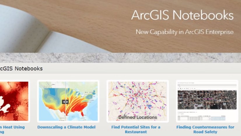
ArcGIS Notebooks is new to ArcGIS Enterprise 10.7. With it, you can run big data analysis, deep learning models, and dynamic visualization tools.
Learn ways to use ArcGIS Living Atlas of the World subscriber content in public maps and apps.
With Amazon AppStream 2.0, you can stream ArcGIS Pro from the cloud.
Esri cartographer John Nelson walks you through how to craft a stunning vintage-style poster of Yellowstone National Park.