Delivering GEOINT at the Speed of Need
The National Geospatial-Intelligence Agency staff demonstrates how Esri technology helps the organization conduct analysis.
The National Geospatial-Intelligence Agency staff demonstrates how Esri technology helps the organization conduct analysis.
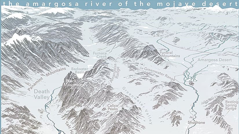
Get tips on how to use ArcGIS Pro and Adobe Photoshop to create a map that expresses the feeling of a location.
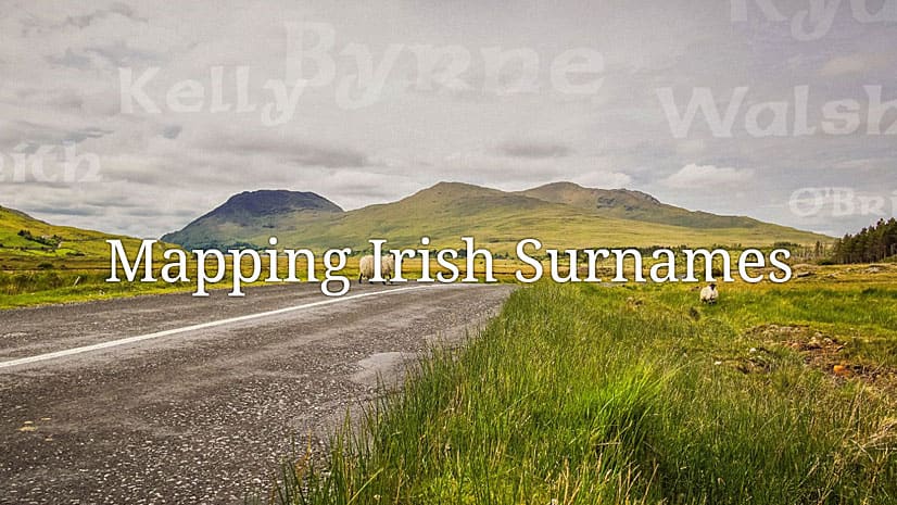
Honor your ancestors with an Esri Story Maps app such as this one called Mapping Irish Surnames.
People who work in the electric, gas, water and telecommunications industries are invited to the new Esri European GeoConX Conference this May.
Conservation photographer Carlton Ward Jr., says geodesign and storytelling will play a critical role in conserving land for Florida wildlife.
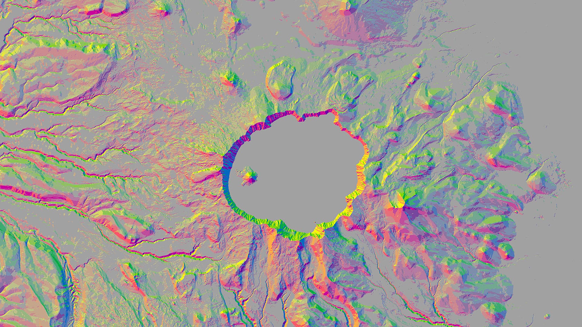
You can use aspect-slope maps to identify landscape features such as ridges or predict fire risk. Learn how to make one using ArcGIS Pro.
Livia Betancourt Mazur experimented with creative styles, finally using the George Washington style to make a map of the University of Minnesota.
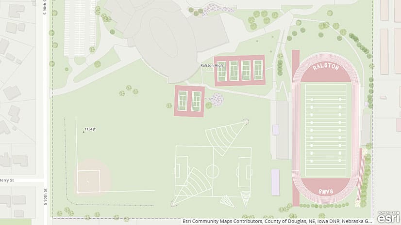
Use the Community Maps Editor app, now in beta, to create and edit detailed features for special areas of interest within your communities.
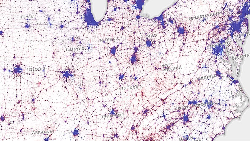
This dasymetric map illustrates the distribution of votes across the United States during the 2016 presidential election.
Pat Cummens of Esri explains the importance of three new laws passed by Congress and signed by the president, including the Geospatial Data Act.
With the Trimble R1 GNSS receiver, you can collect accurate location data with your iOS or Android device running Collector for ArcGIS.
Learn how to set up Operations Dashboard for ArcGIS to automatically focus on the latest event like an earthquake.