Lessons on Resilience and Reinvention in Cities
Authors James and Deborah Fallows crisscrossed America’s heartland in a small plane to document economic and cultural changes in communities.
Authors James and Deborah Fallows crisscrossed America’s heartland in a small plane to document economic and cultural changes in communities.
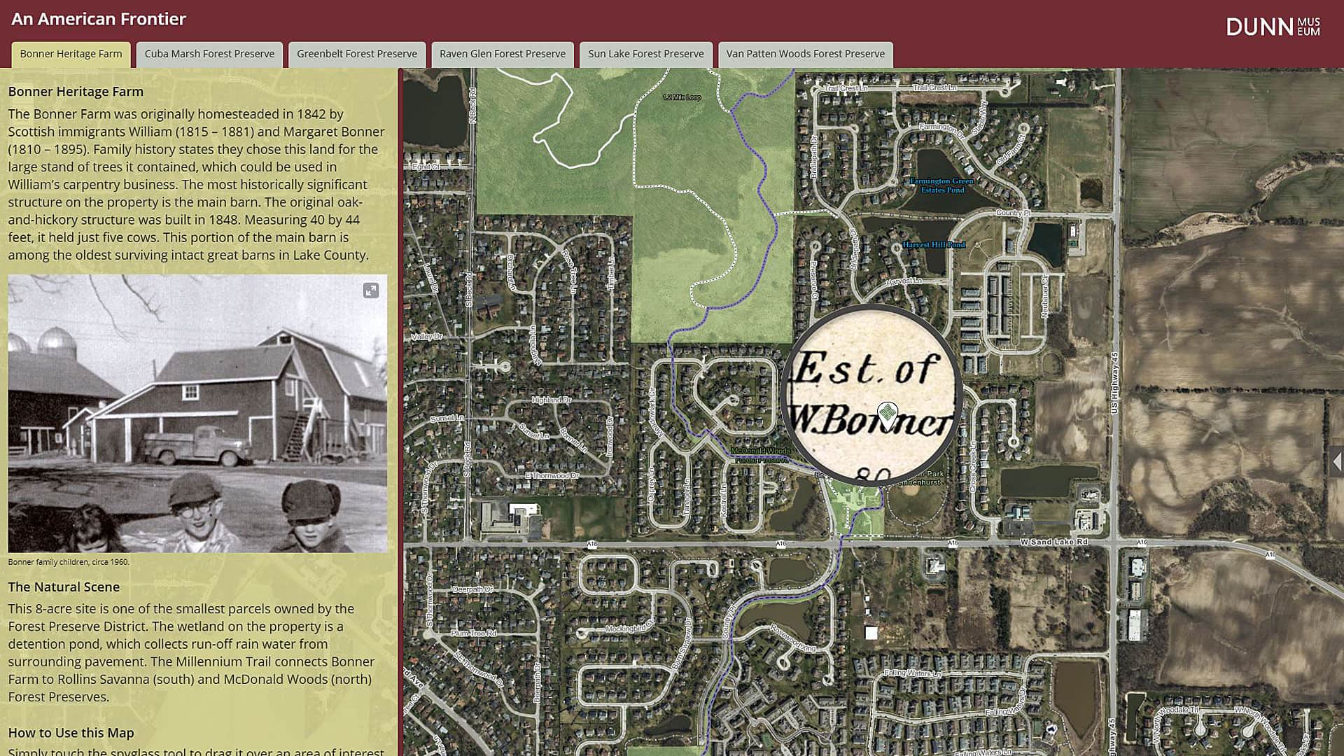
The Bess Bower Dunn Museum in Illinois uses Esri Story Maps to teach visitors about the people, events, and history that shaped Lake County.
You can tap the app's globe to identify features, take pictures when creating a tour, and more.
Configure or upgrade your GIS by packaging ArcGIS with Dell products, including Dell PowerEdge Server or a Dell Workstation.
Learn to create a minimalist map graphic for your website that has what Esri cartographer John Nelson calls a “spatio-technical vibe.”
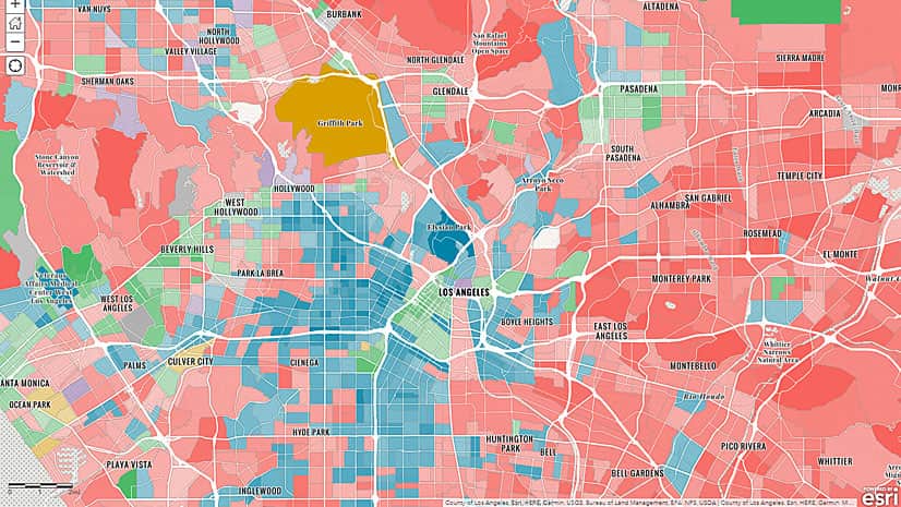
Walking seems to be the most popular alternative to driving to work alone in Beverly Hills, California. How do your neighbors get to work?
Learn about weather concepts and how to create a map of real-time weather data in this ArcGIS Lesson.
Get secure access to global basemaps and reference layers in the new version of Data Appliance for ArcGIS.
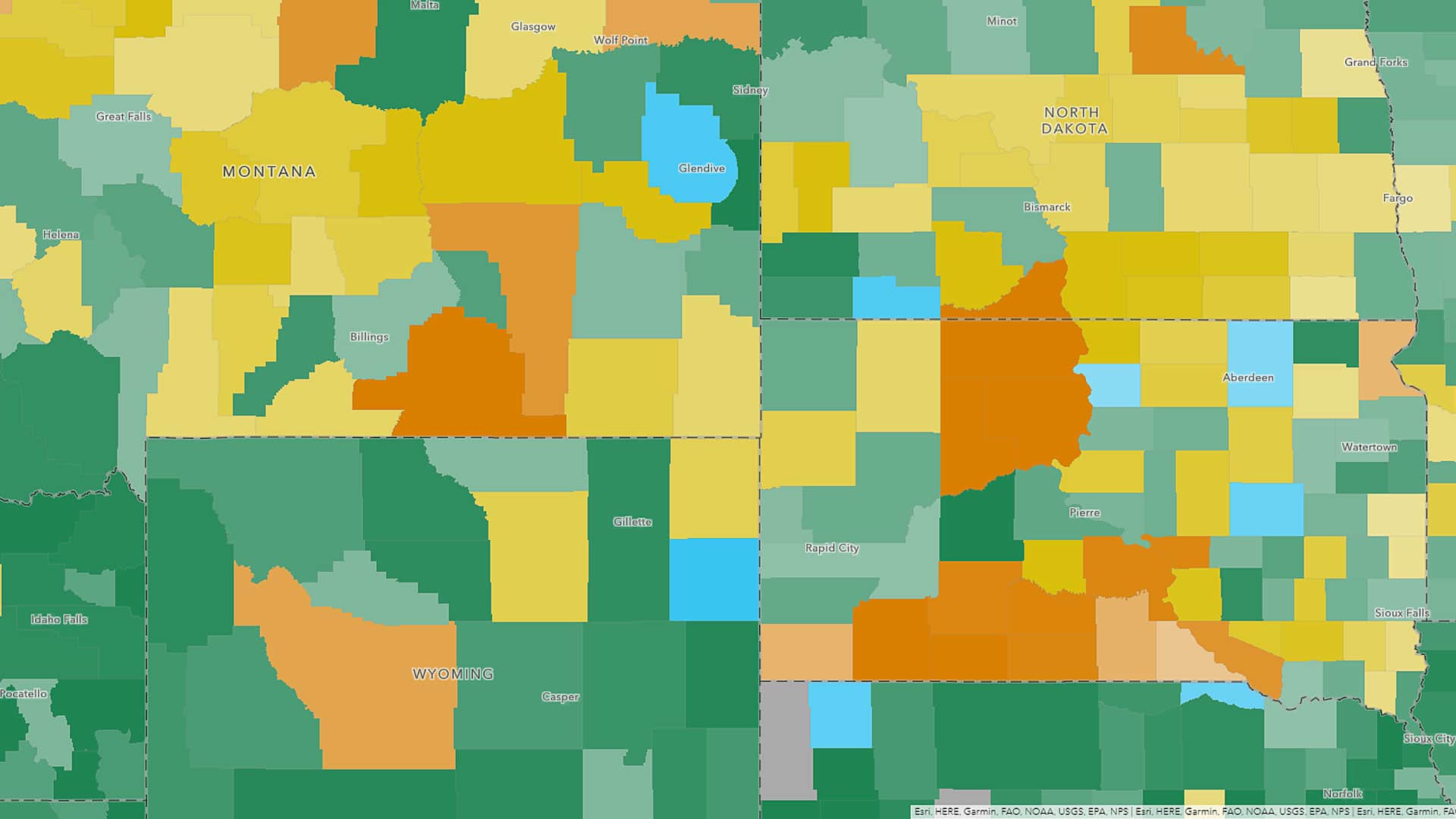
Maps and data from the most up-to-date American Community Survey (ACS) five-year estimates are now available in ArcGIS Living Atlas of the World.
Esri product engineer Owen Evans offers tips on how to effectively use groups in ArcGIS Online to collaborate on and share mapping projects.
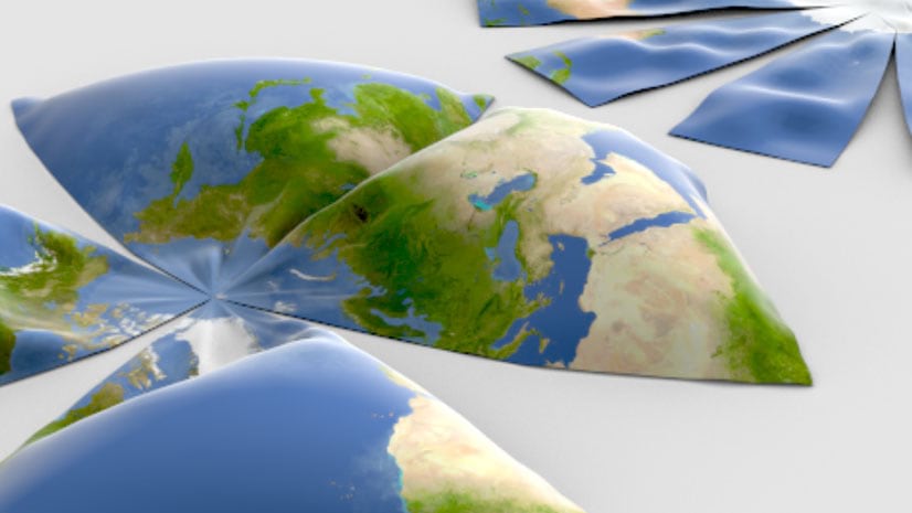
From Aitoff to Winkel Tripel, here are 68 map projections that you can use in your maps created using Esri ArcGIS 10.7.1 or ArcGIS Pro 2.4.
The basemap gallery in ArcGIS Online offers nine great basemap choices including the World Topographic Map and the Light Gray Canvas Map.