Geodesigning Europe’s Future
More than 200 scholars and design professionals met in the Netherlands to talk about many aspects of geodesign relevant to Europe...
More than 200 scholars and design professionals met in the Netherlands to talk about many aspects of geodesign relevant to Europe...
The Boy Scouts of America (BSA) are embracing geospatial technology in a big way at Summit Bechtel Reserve (The Summit) in West Virginia.
Summit Bechtel Reserve (The Summit) in West Virginia serves as what the Boy Scouts of America (BSA) calls an "adventure center" for millions.
Learn how to refresh dynamic layers in your ArcGIS web map using a new capability called the refresh interval property.
Joshua Perry, an intrepid Cub Scout and budding GIS user, created a web map to track his popcorn and pretzel sales orders...
Thousands of Boy Scouts also used the mobile ArcGIS app on their smartphones to navigate the sprawling, 10,600-acre site and locate...
Find out about new data collection and editing capabilities and how to easily use ArcPad with the rest of the ArcGIS platform.
Feathering is a technique that makes the area you want to highlight on your map stand out and helps your audience focus on what’s important...
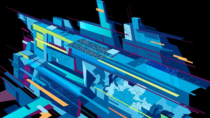
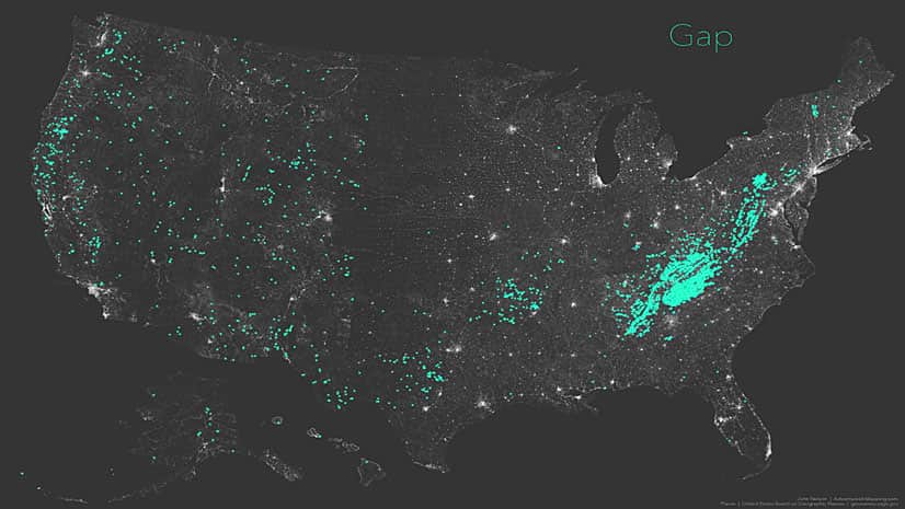
When is a pass a gap? And when is a gap a saddle or a notch? Esri cartographer John Nelson investigates using maps.
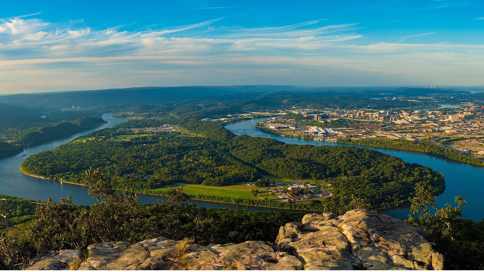
Thrive Regional Partnership is using geodesign technology and methodology to plan smartly and sustainably.
Speakers at the upcoming Geodesign Summit will tackle questions such as how geodesign can solve the 21st century's most pressing problems.