Add Geotagged Photos to ArcGIS Online Web Maps
While you can’t drag and drop geotagged photographs directly to your web map in ArcGIS Online, there’s another simple way to add them to maps.
While you can’t drag and drop geotagged photographs directly to your web map in ArcGIS Online, there’s another simple way to add them to maps.
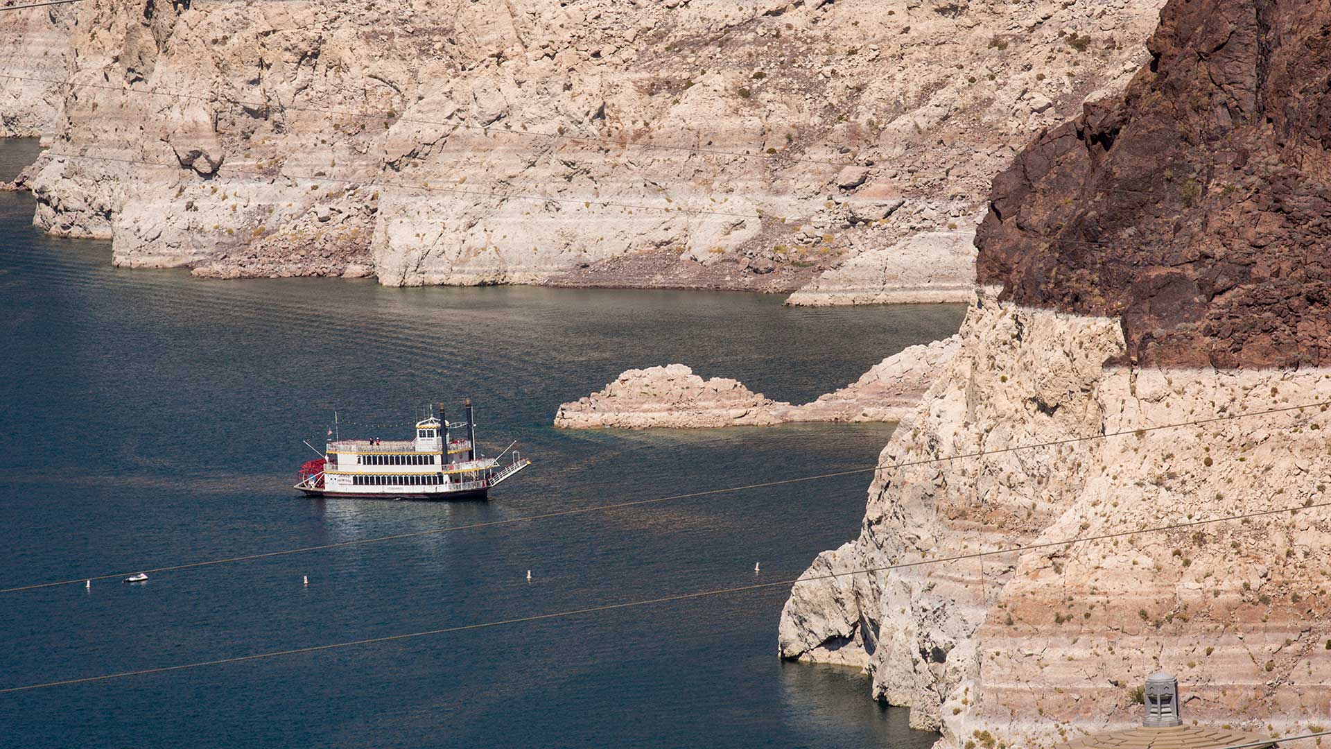
Will Arizona run out of water? The Arizona Water Blueprint, a new water mapping tool, visualizes the data and tells the story.
Spike is a laser measurement device from ikeGPS that boosts field productivity and data capture capabilities when used with Survey123 for ArcGIS.
There's still time to sign up for an ArcGIS User Seminar in many areas of the United States.
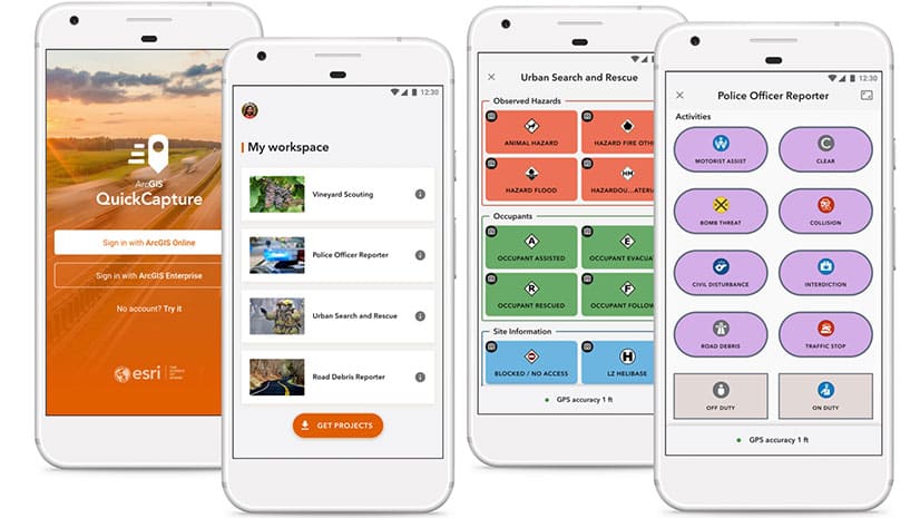
See what's new in the latest release of ArcGIS QuickCapture.
Waterford City and County Council in the Republic of Ireland makes extensive use of Esri ArcGIS technology.
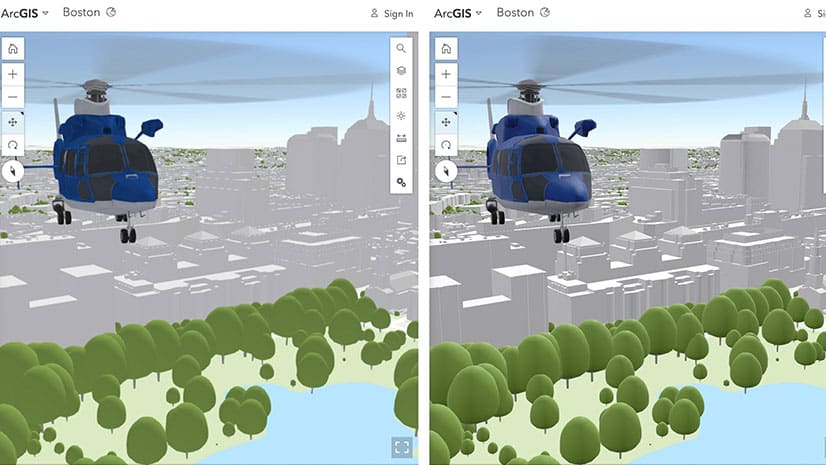
Learn about the latest improvements to Scene Viewer, which gives you the ability to author realistic and beautiful 3D scenes in applications.
In this one-minute map hack, John Nelson from Esri teaches you how to add elevation hillshade to your map without washing the colors out.
Tracker for ArcGIS helps organizations keep better track of fieldworkers, making the workforce more agile and speeding response times.
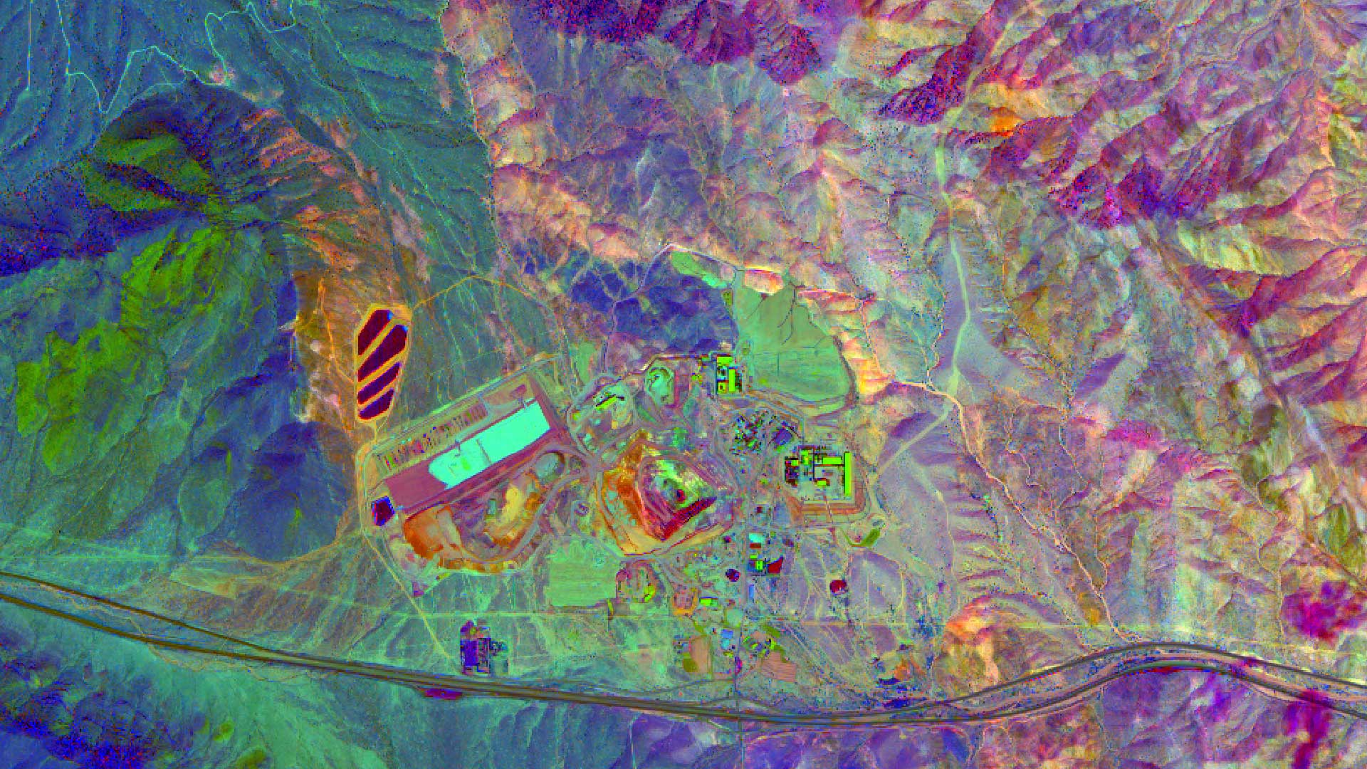
High quality imagery helps in finding mineral and petroleum deposits and Esri ArcGIS can be used to process, enhance, and analyze those images.
Color ramps were updated for the Map Viewer beta. You will find more than 300 color ramps in the Map Viewer, most being colorblind friendly.
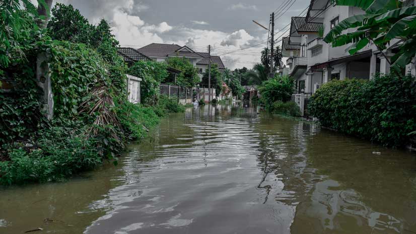
Get tips and tricks on how to use Survey123 for ArcGIS to conduct damage assessments after hurricanes, earthquakes, and other natural disasters.