One Minute Map Hack: Fix Overly-Busy Coastlines
John Nelson from Esri shows you how to use ArcGIS Pro to give cluttered-looking coastlines on a small scale map a more elegant appearance.
John Nelson from Esri shows you how to use ArcGIS Pro to give cluttered-looking coastlines on a small scale map a more elegant appearance.
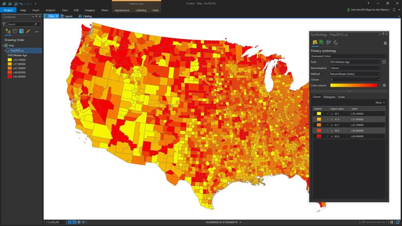
Esri cartographer John Nelson and his 11-year-old son make a map that shows where younger versus older people live in the United States.
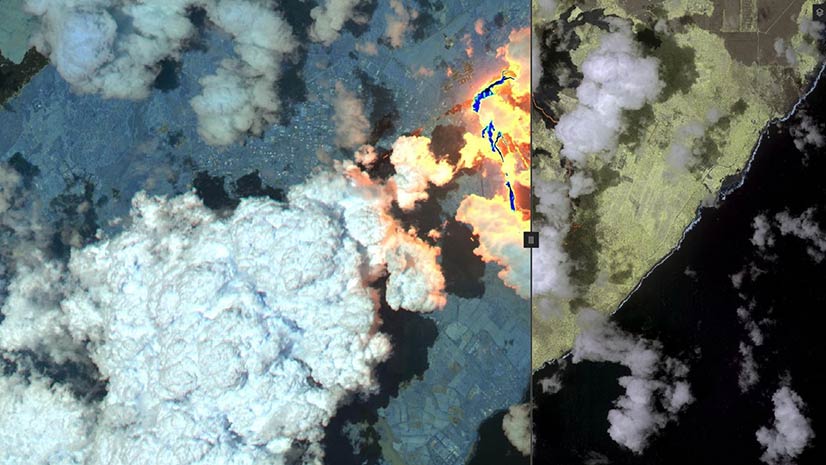
Compare map layers or view what’s underneath a layer using the new Swipe widget available in the new release of ArcGIS API for JavaScript.
Dominik Allemann with Esri explains the differences between the projects workflow and the plans workflow in ArcGIS Urban.
Beth Rogers, senior director of data science at Fruit of the Loom, talks about how her team uses GIS to understand customers and supply chains.
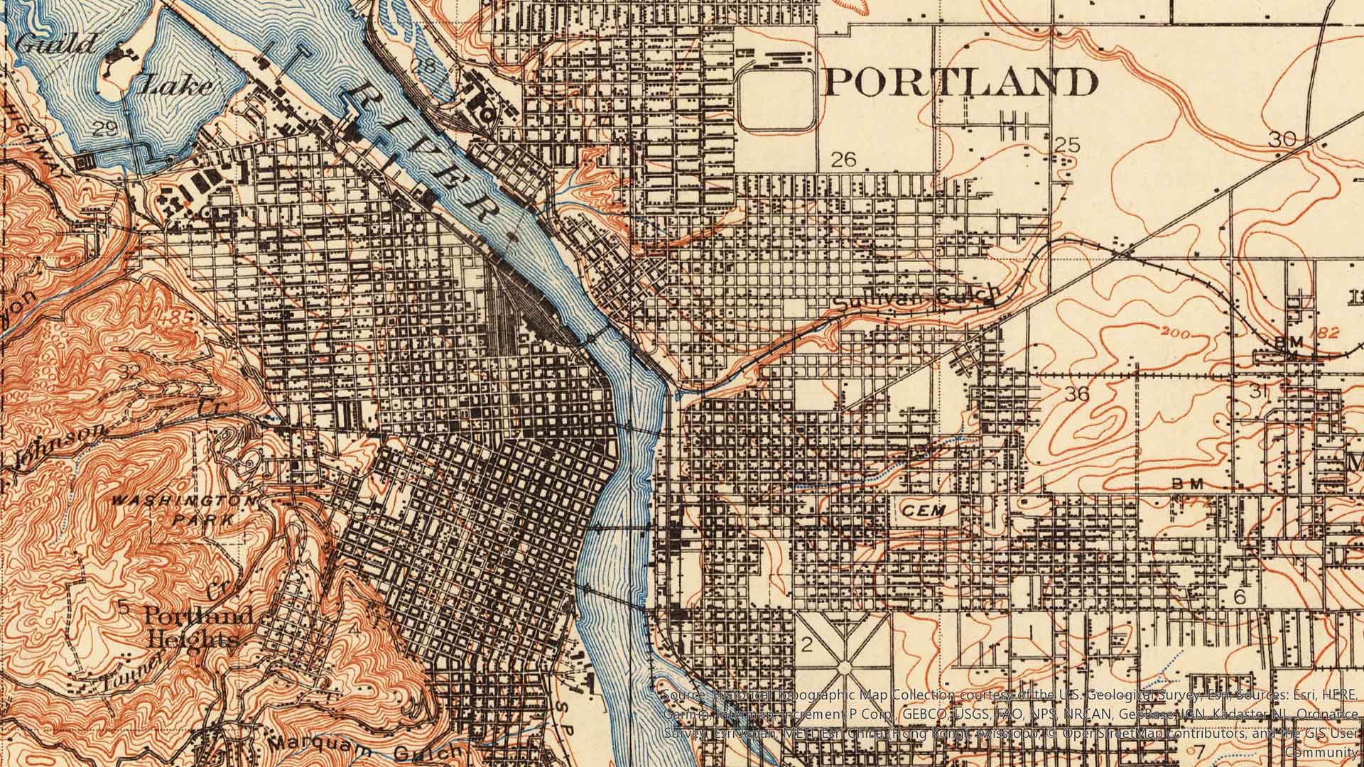
USGS Historical Topographic Map Explorer app was recently updated to give you the ability to save historical topographic maps to ArcGIS Online.
Use GIS to determine where to build a sandbag wall and the amount of materials that will be needed.
The Philadelphia Police Department uses ArcGIS technology to reduce and investigate crimes.
Discover the new features and updated user interface in Navigator for ArcGIS, a turn-by-turn, voice guided navigation app for iOS.
Ferry operator P&O Ferries uses Esri ArcGIS technology for load planning, which saves in vessel turnaround time and about $276,000 annually.
James Pardue, Sr., from ikeGPS, explains how the Spike laser unit for measuring objects works with mobile phones and Survey123 for ArcGIS.
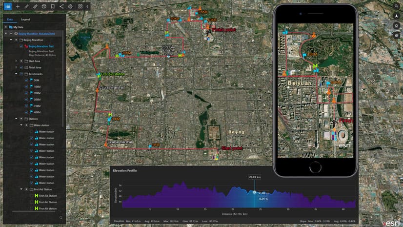
Xuewen Zhang from Esri’s Beijing R&D Center shows how you can use ArcGIS Earth to plan a marathon.