Explore Attribute Fields and Data Validation
Learn about attribute fields and how to apply attribute validation techniques to geodatabase features using ArcGIS Pro.
Learn about attribute fields and how to apply attribute validation techniques to geodatabase features using ArcGIS Pro.
A lot! When you use the app builder, you will notice drag and drop media functionality, themes called Mesa and Ridgeline, and much more.
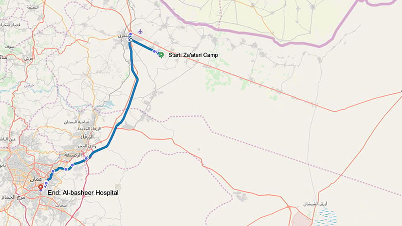
A group called RefuGIS taught Syrian refugees how to make story maps. One man used his new skills to talk about his ongoing cancer battle.
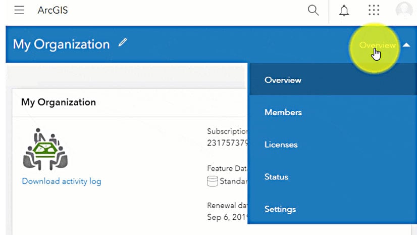
ArcGIS Online uses credits as currency. Esri's Lynnae Terpstra shows you how to manage them.
Esri’s Madeline Schueren explains how to use several new analysis tools in ArcGIS Pro based on a scenario about movie filming locations.
Esri's Colin Childs walks you through the steps for creating and managing metadata in ArcGIS Pro.
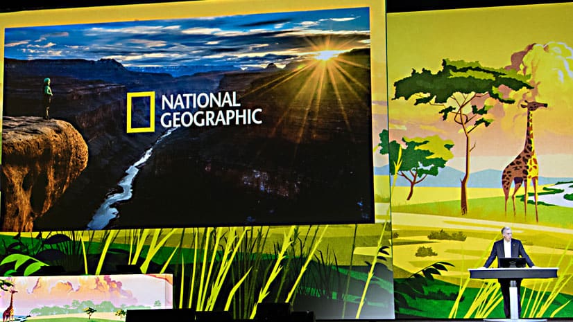
National Geographic Society and Esri are partnering to develop and provide a suite of ArcGIS solutions to manage protected areas in Africa.
Emily Meriam, an Esri cartographer, shows how to create an Arccade expression that makes your symbols scale as you zoom in and out of your map.
If you want to build location capabilities into your apps, don’t miss the 2019 Esri European Developer Summit in Berlin.
Esri's Jennifer Bell demonstrates how to create a story map about an excursion to Mount Everest using the new ArcGIS StoryMaps builder.
ArcGIS Online comes with many configurable apps in which to showcase your web maps.
Learn basic lidar concepts and best practices to manage, edit, visualize, and share lidar-derived 2D and 3D information products in ArcGIS Pro.