I like running and already have done six full marathons in recent years.
As a marathon runner, I always care about the starting line, the finish line, and the details of the 42.195 km racecourse.
This time, I would like to have a role change. If I was a marathon organizer, how should I get started and what should I pay attention to?
First, I need to get maps. Next, I will sketch and mark the racecourse. After that, I can make a plan based on the course and marks on the map.
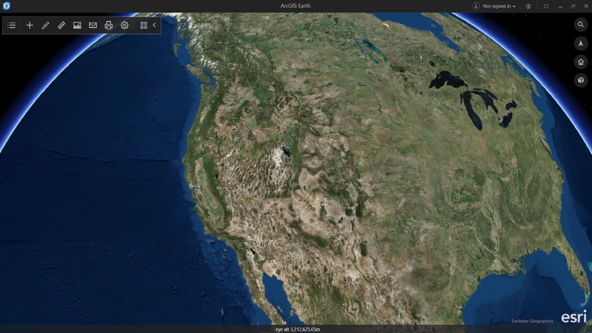
Let’s have a look at how to plan a marathon with ArcGIS Earth.
Draw the Marathon Course
Using last year’s course, mark the starting line, the finish line, and some other key points in the scene, using the geosearch capability of ArcGIS Earth. Then sketch the racecourse with the Draw tool.
Refer to changes made since last year, and with the help of different basemaps, modify the course line to make it the final racecourse of this year.
With the Measure tool, place a distance marker at each kilometer.

Now all the preparation work is done. The next thing to do is to analyze this data interactively.
Analyze the Race Data Interactively
For runners, seeing the course on the map is helpful, but it’s not enough. With ArcGIS Earth, an elevation profile can be generated with the course line.
An elevation profile allows interactive use with the map. Users can point to the elevation profile and see the course’s elevation and slope on the map. This is very helpful to participants and it lets me make a better plan.

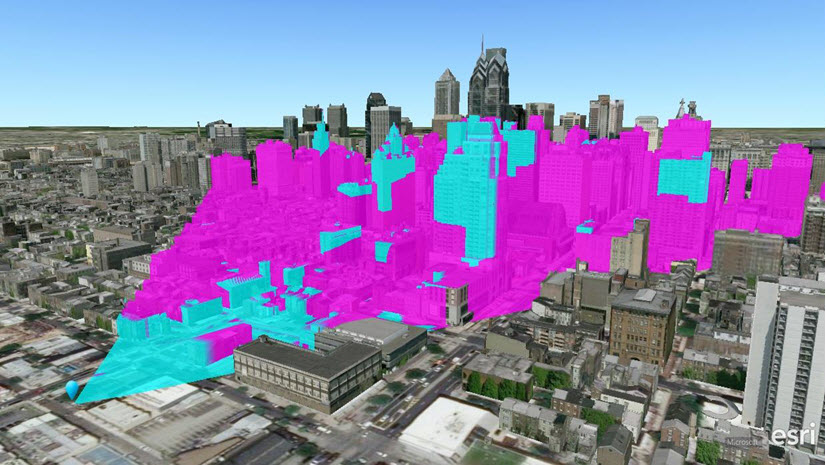
ArcGIS Earth also provides the Viewshed and Line of Sight tools, which can help me do a visibility analysis if I have 3D layers of the area. This could help me a lot to make a security plan along with establishing the course and at the start/finish line.

Plan the Marathon
With the basic data and analysis results, I can make the whole plan and all the detailed arrangements:
- I can zoom to the start point, use different polygons, and draw points to decide where to place the baggage deposit area, first aid and water stations, mobile toilets, and the start zones for different races.
- With the whole route on the map, I can have a good understanding of each turn. At the turns, the timing mats will be set to verify that participants have completed the course. Meanwhile, I also can have a clue for where to put public cheering zones.
- According to the time limits and the Street and Traffic basemaps, I can set cutoff points at designated locations along the course.
- With the milestones and the elevation changes, I know where would be best to set up water, sponging, and refreshment stations; mobile toilets; and first aid and physiotherapy stations.
- At the finish line, I can draw different polygons, lines, and points to create the refreshment distribution and baggage collection areas, physiotherapy stations, and the postevent meeting point.
- With the visibility analysis results provided by the Viewshed and Line Of Sight tools, I know where to pay attention for security issues and where the best places are for the course marshals.

Finally, all my work can be saved as a KMZ file, which can be shared via ArcGIS Earth Mobile to take to the field for course setup and marking.

I hope ArcGIS Earth provides your marathon the best of success and gives every participant a day to remember.
Download ArcGIS Earth for free and get started now.
Update: ArcGIS Earth Mobile is now available in Google Play and the App Store.

Commenting is not enabled for this article.