What’s New in Collector for ArcGIS?
Esri has added several great new capabilities to Collector for ArcGIS on the iOS platform.
Esri has added several great new capabilities to Collector for ArcGIS on the iOS platform.
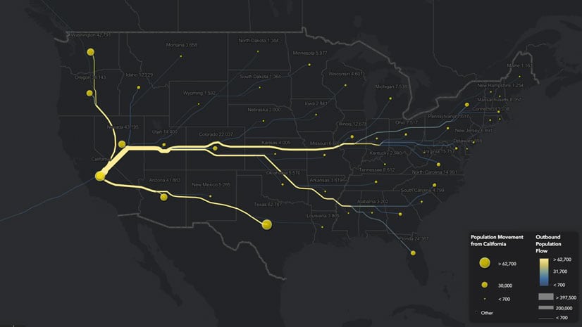
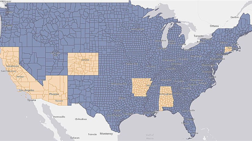
Lisa Berry from Esri used change of residence data from the IRS and the Distributive Flow Lines tool to map where people move within the US.
ArcGIS API for JavaScript now comes with an Editor widget that gives users of the app you developed the ability to create and edit features.
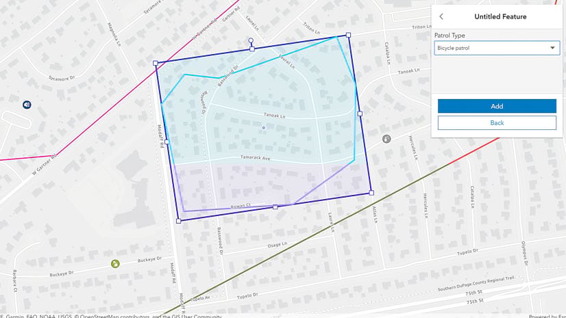
A law enforcement team in California uses Esri technology to find out what services homeless people need and match them with those services.
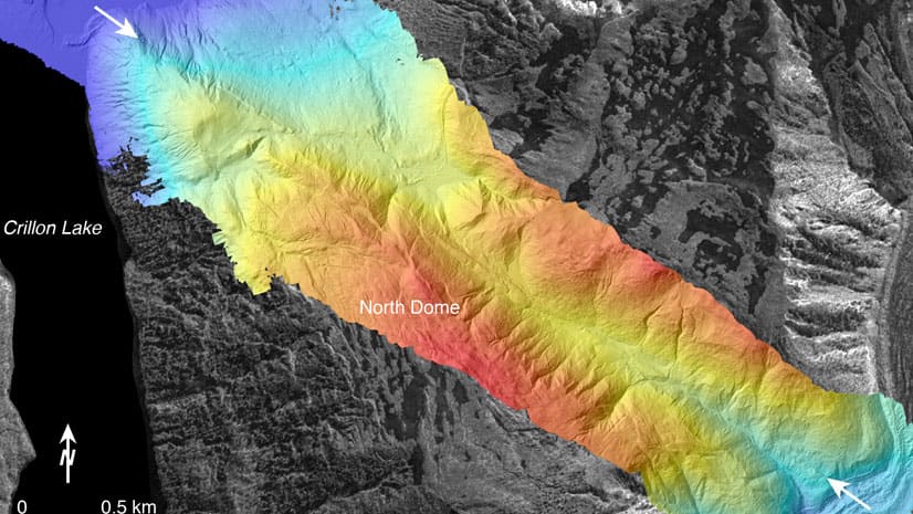
Learn basic lidar concepts and best practices to manage, edit, visualize and share lidar-derived 2D and 3D information products using ArcGIS Pro.
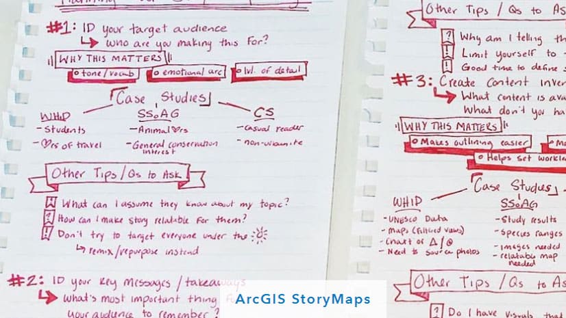
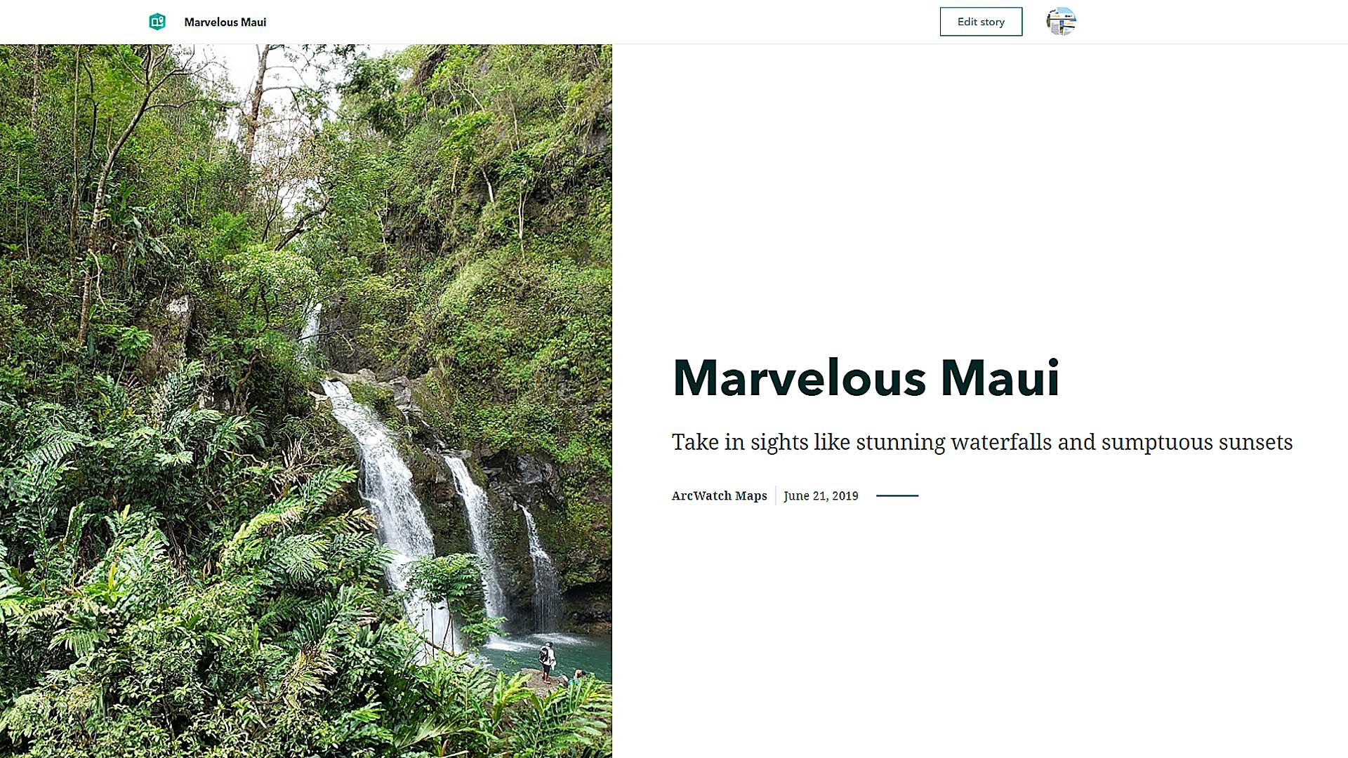
If you want the story you tell with the new ArcGIS StoryMaps builder to have impact, you better come up with a plan first.
Diana Lavery of Esri explains several techniques to use to turn a flat file of raw data into a feature layer.
Meet in London from October 29-30, 2019, to find geospatial solutions for petroleum exploration, managing assets, and other tasks.
Learn to work with Minimal Gallery, a configurable group-based app that gives you the ability to create a simple, card-based gallery.
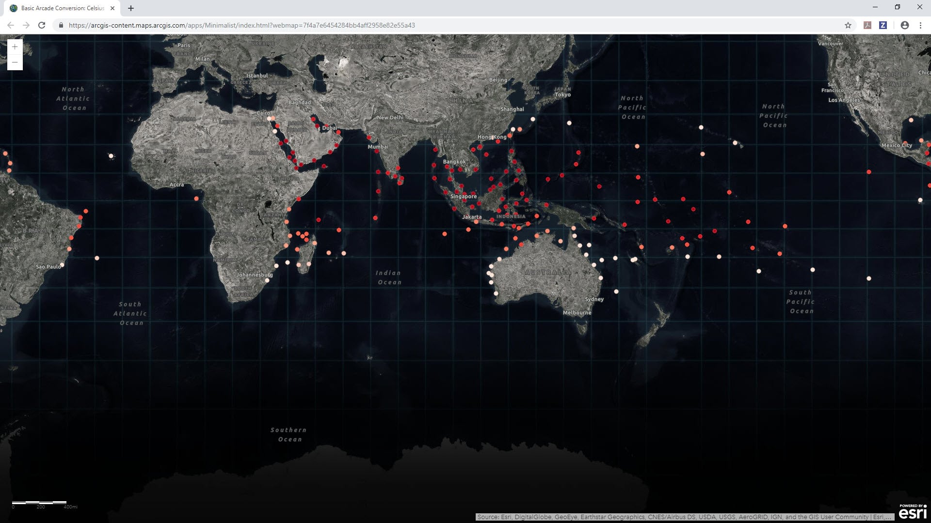
Have you ever wanted to map some data but the data wasn't exactly in the format you needed? That's when it's time to turn to ArcGIS Arcade.
The South Coast AQMD app gives users location-based air quality information for greater Los Angeles, California.
Try the new ArcGIS StoryMaps for yourself. Allen Carroll from Esri takes you through the steps of using the builder to make a story map.